Yorke Peninsular - West...

Yorketown - Marion Bay - Innes NP - Corny Point - Moonta - Port Hughes - Moonta - Wallaroo - Port Pirie - Port Germein - Quorn - Port Augusta
The Route Map
Day 26 - 1st March
Yorketown - Marion Bay - Innes NP - Corny Point .
Off to very southern tip of the Yorke Peninsular. But first a look around Yorketown...
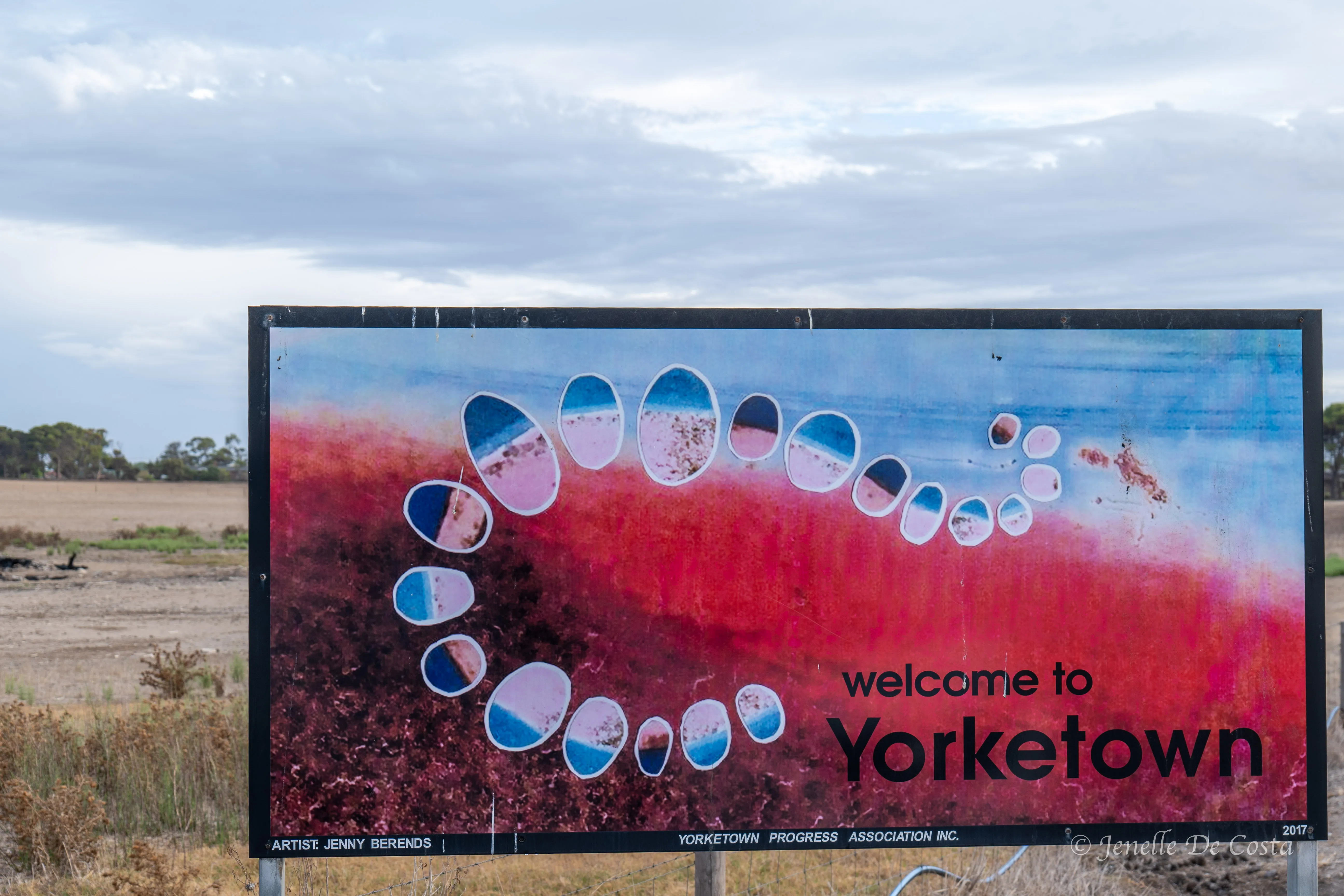
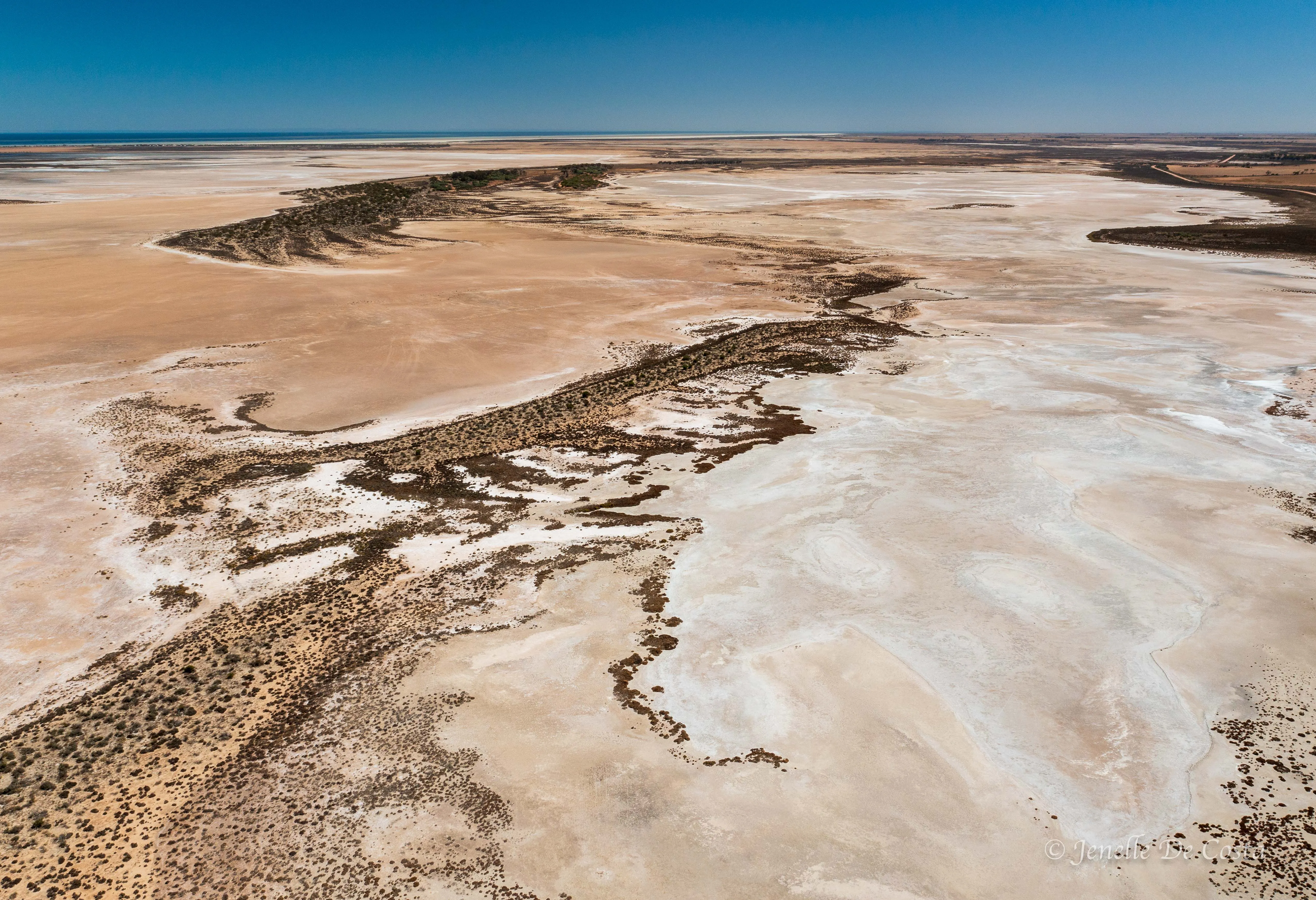
Yorketown_Sign referencing the salt lakes in the district…

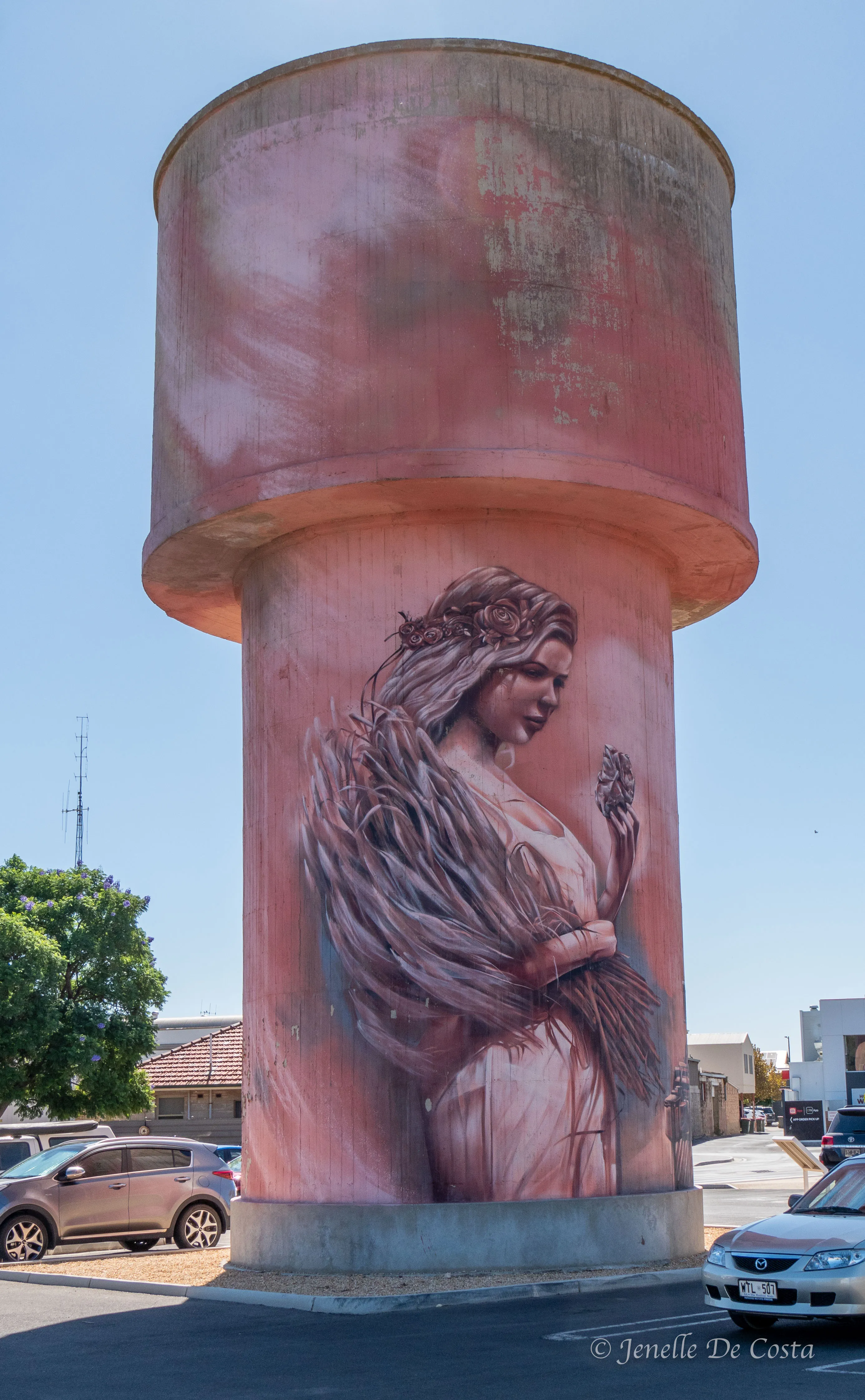
Yorketown_Water_Tower…
Just to south of Marion Bay is Kangaroo Island. Just to west is Port Lincoln on the southern tip of the Eyre Peninsular. Check the map. It just does our head in.

Marion_Bay…
On the recommendation of a local surfer we decided to go and check the Innes National Park...
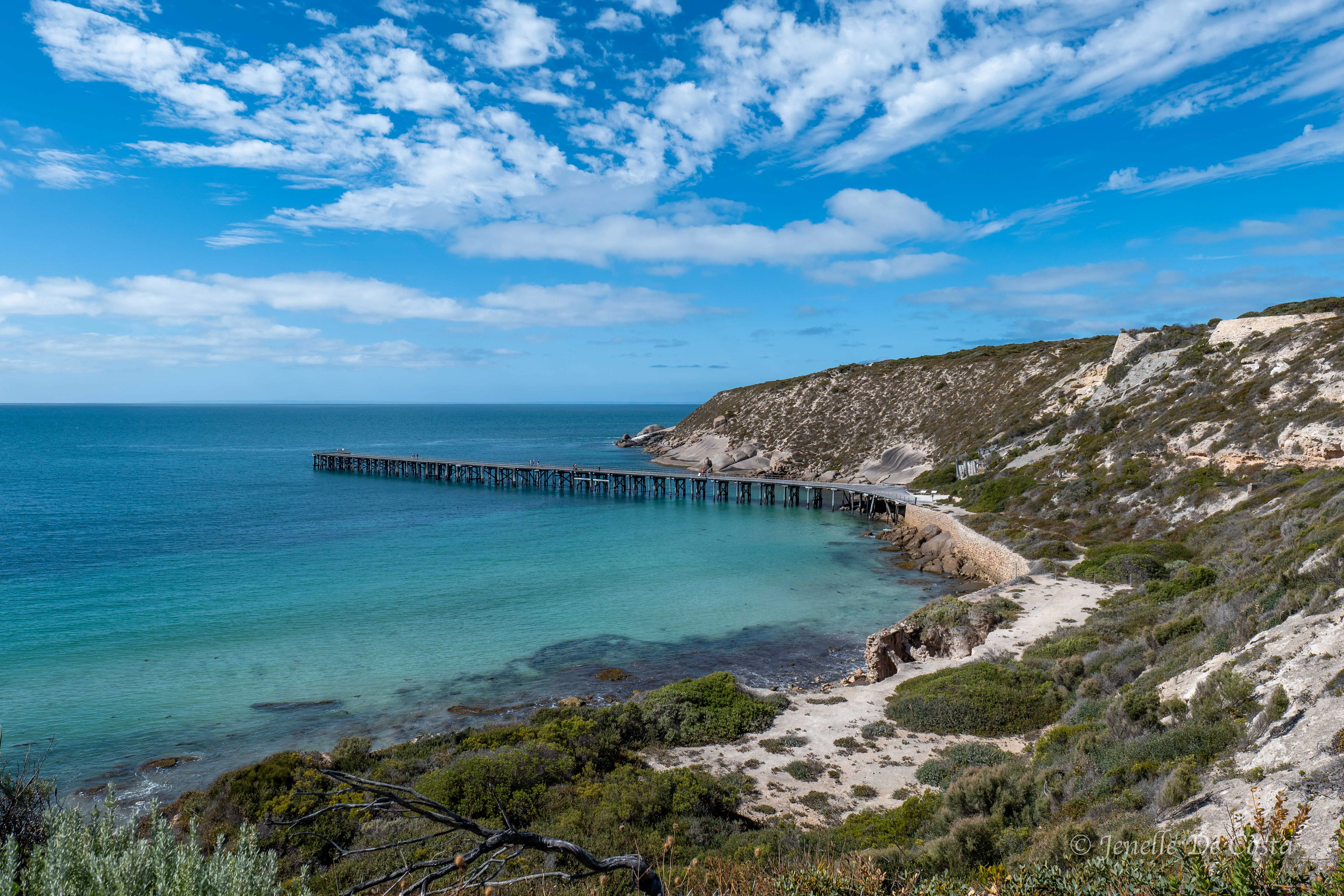
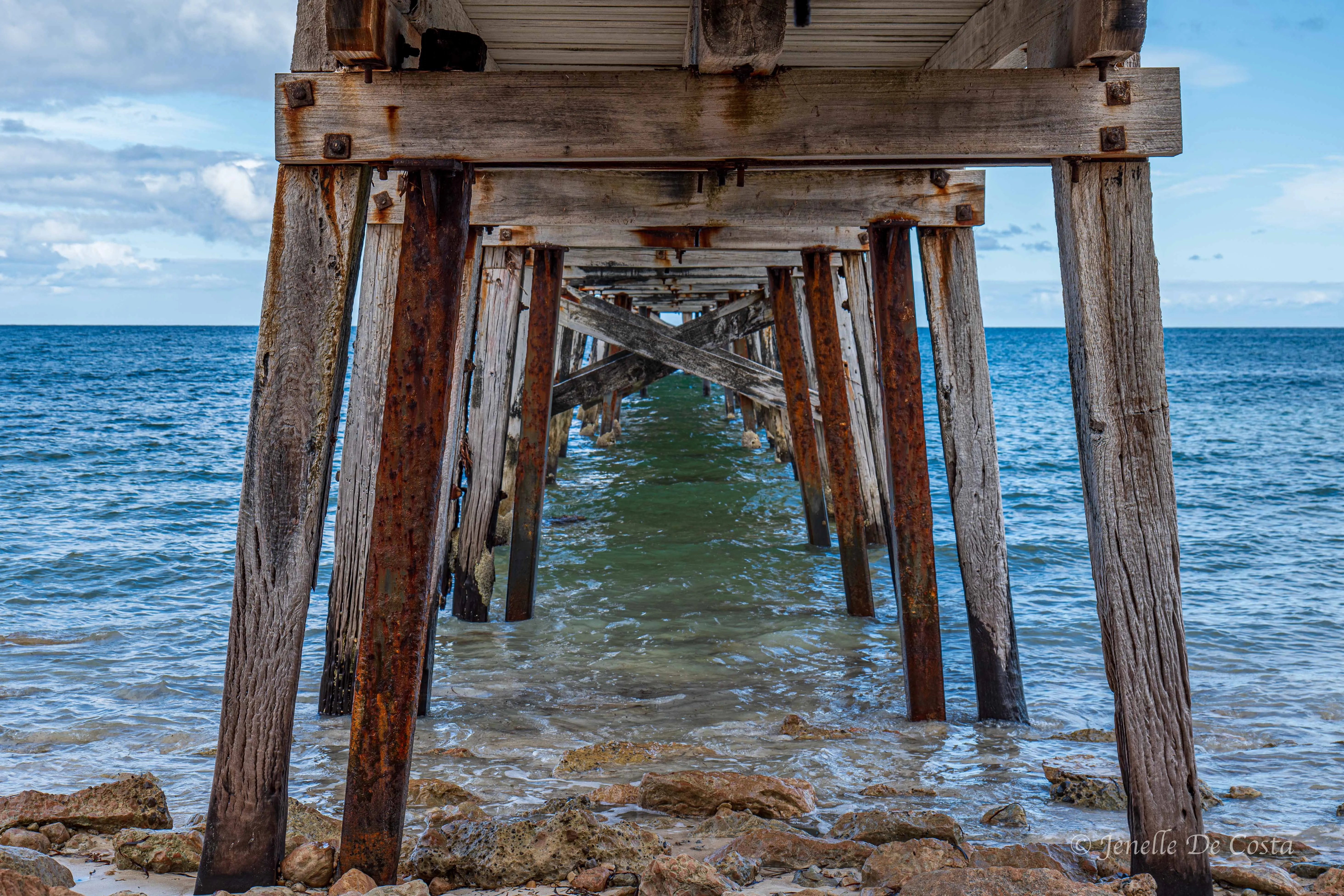
Stenhouse_Bay_Jetty…
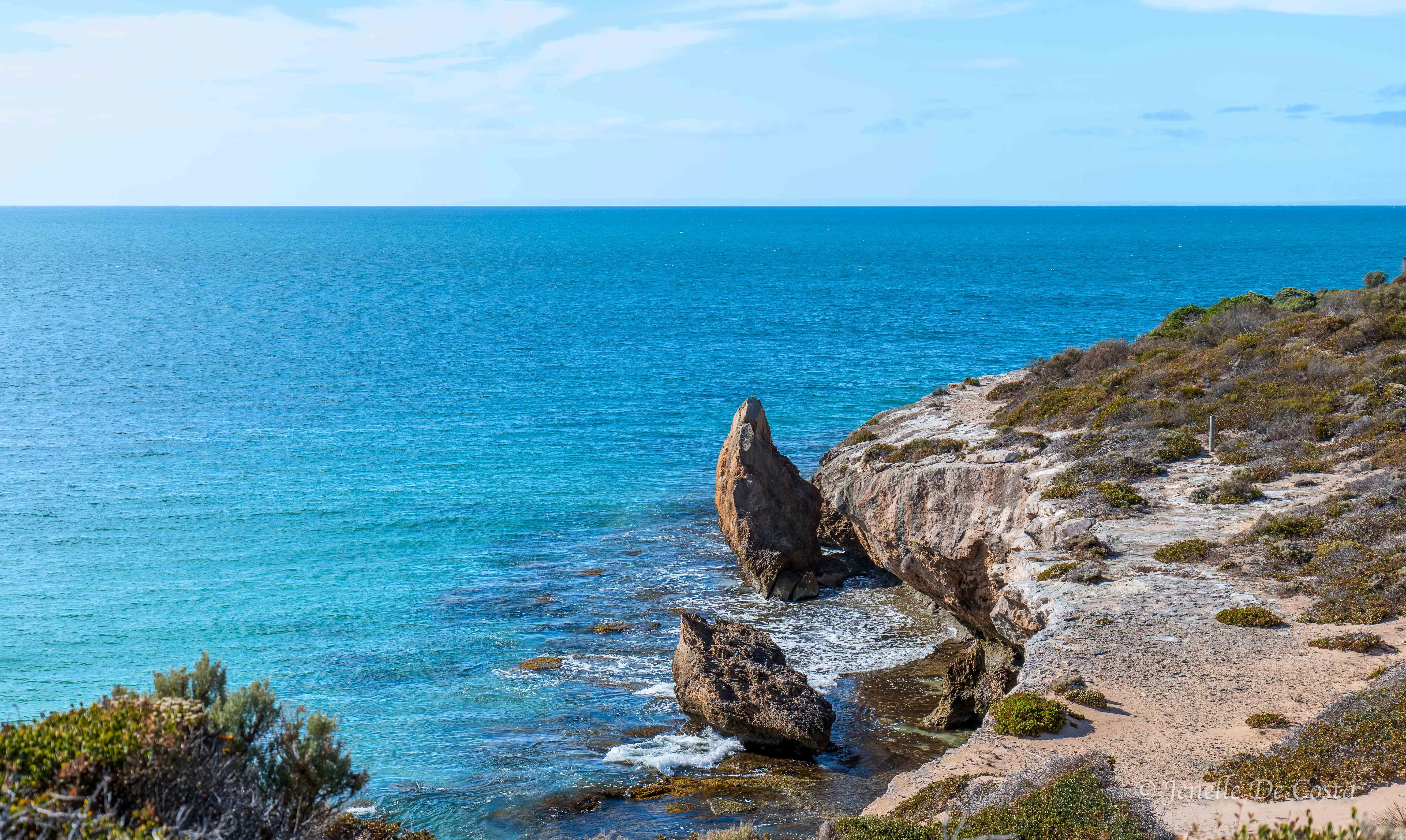
Stenhouse_Bay_Rocks…

Chinamans_Hat_Island…
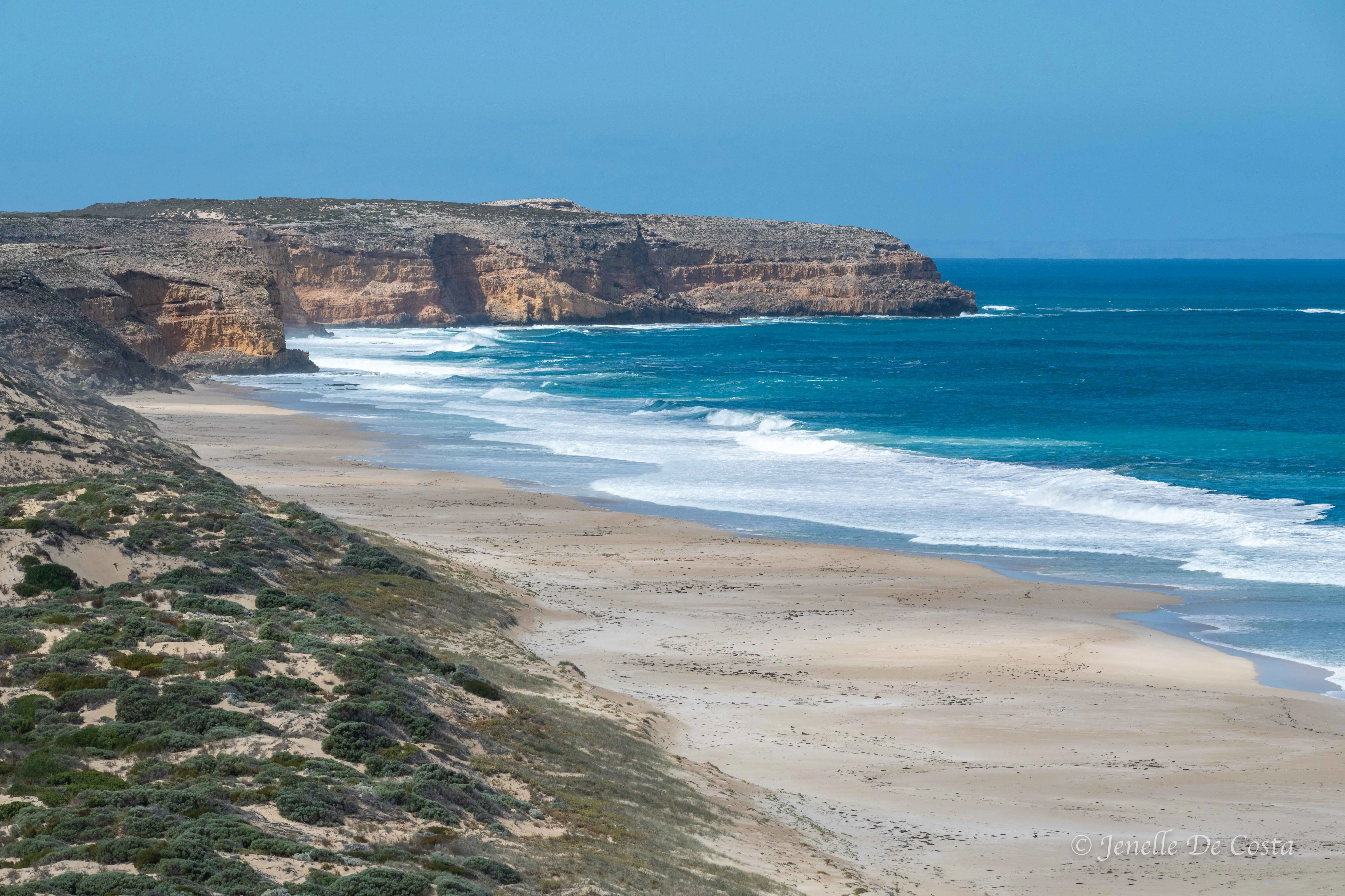
Ethel_Wreck_Beach…
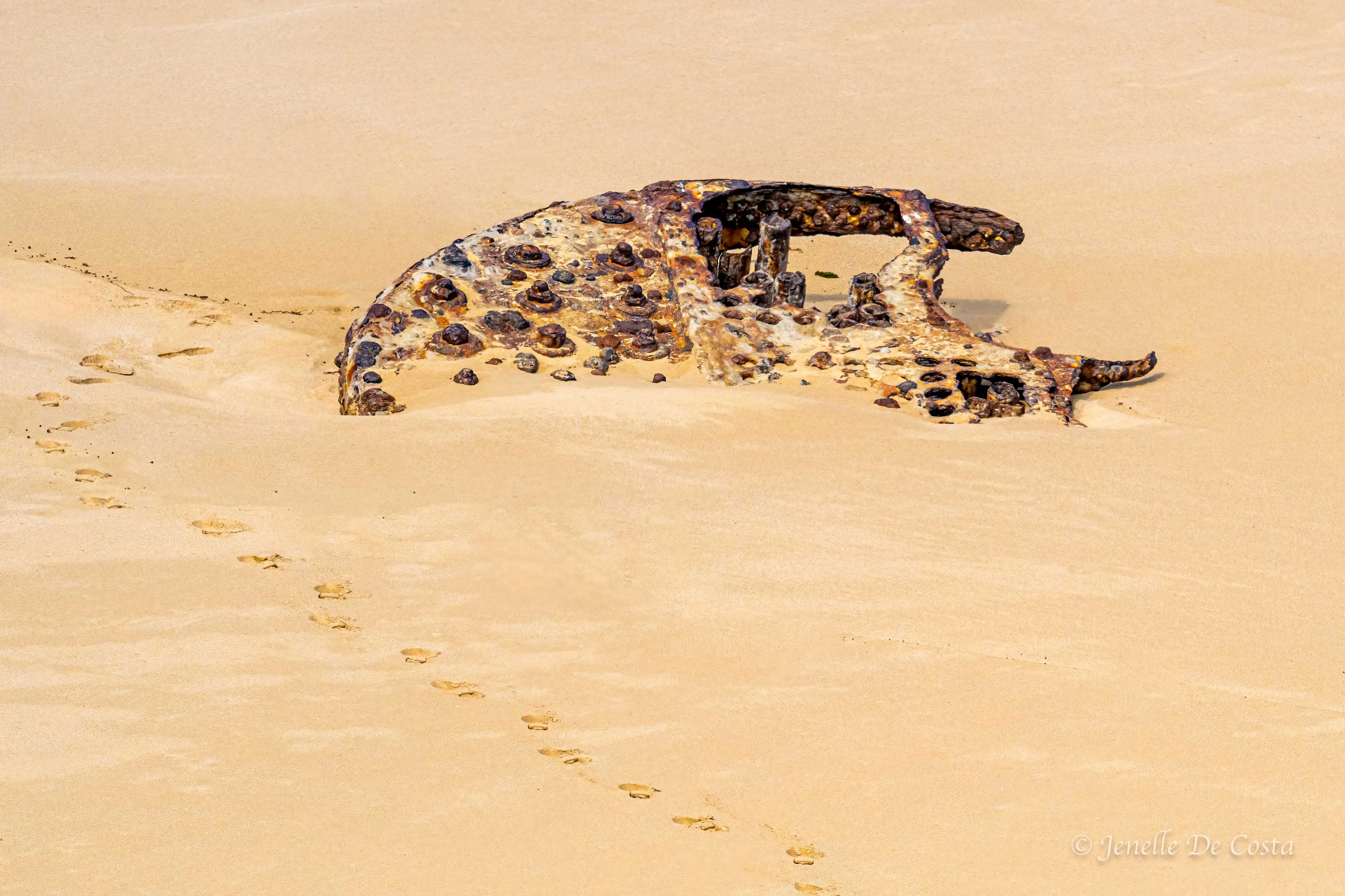
The remnants of SS Ethel…
West Cape is a far south as we can go into the Innes NP
West_Cape…
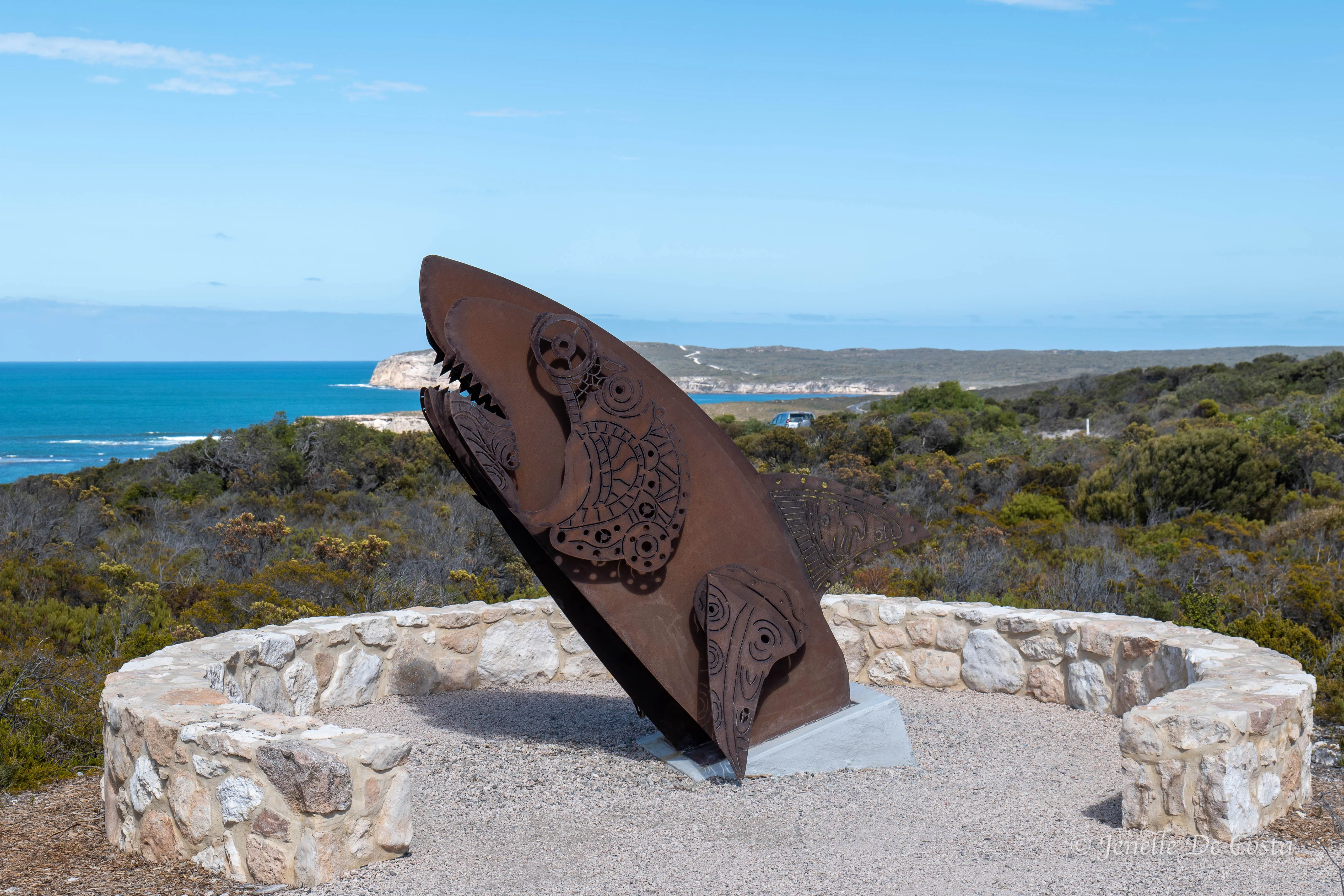
West_Cape_Sculpture…
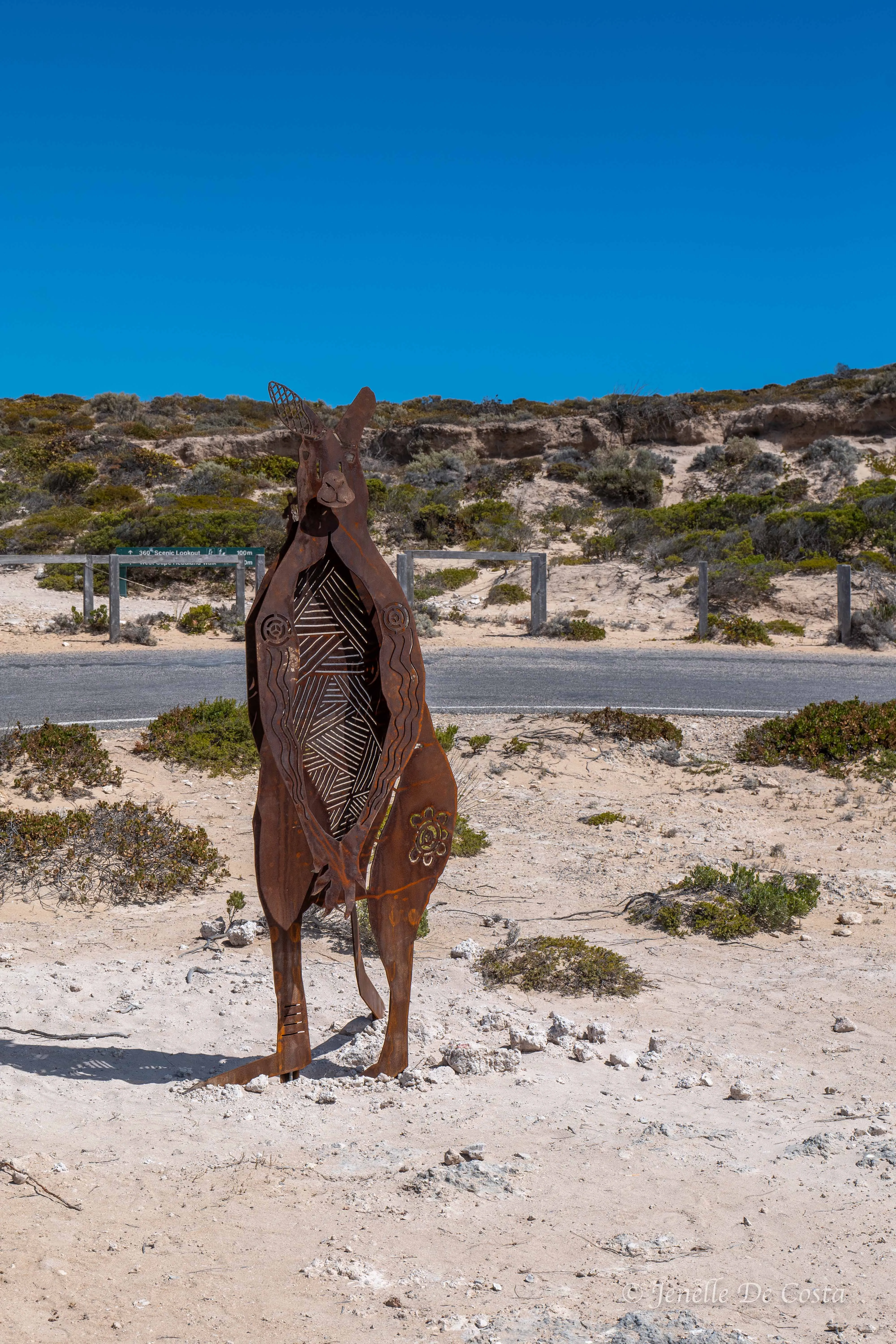
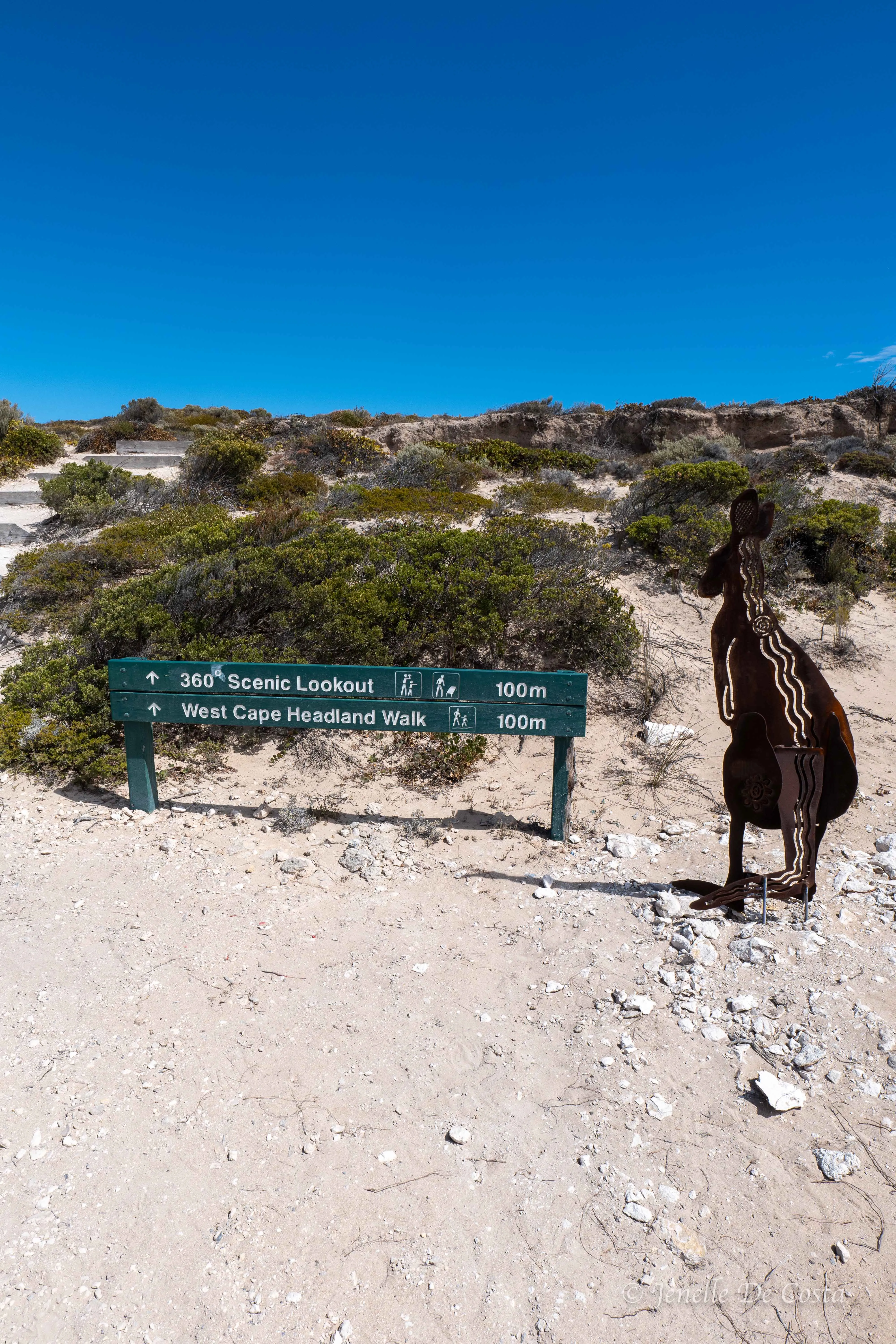
The big Roo at West Cape…
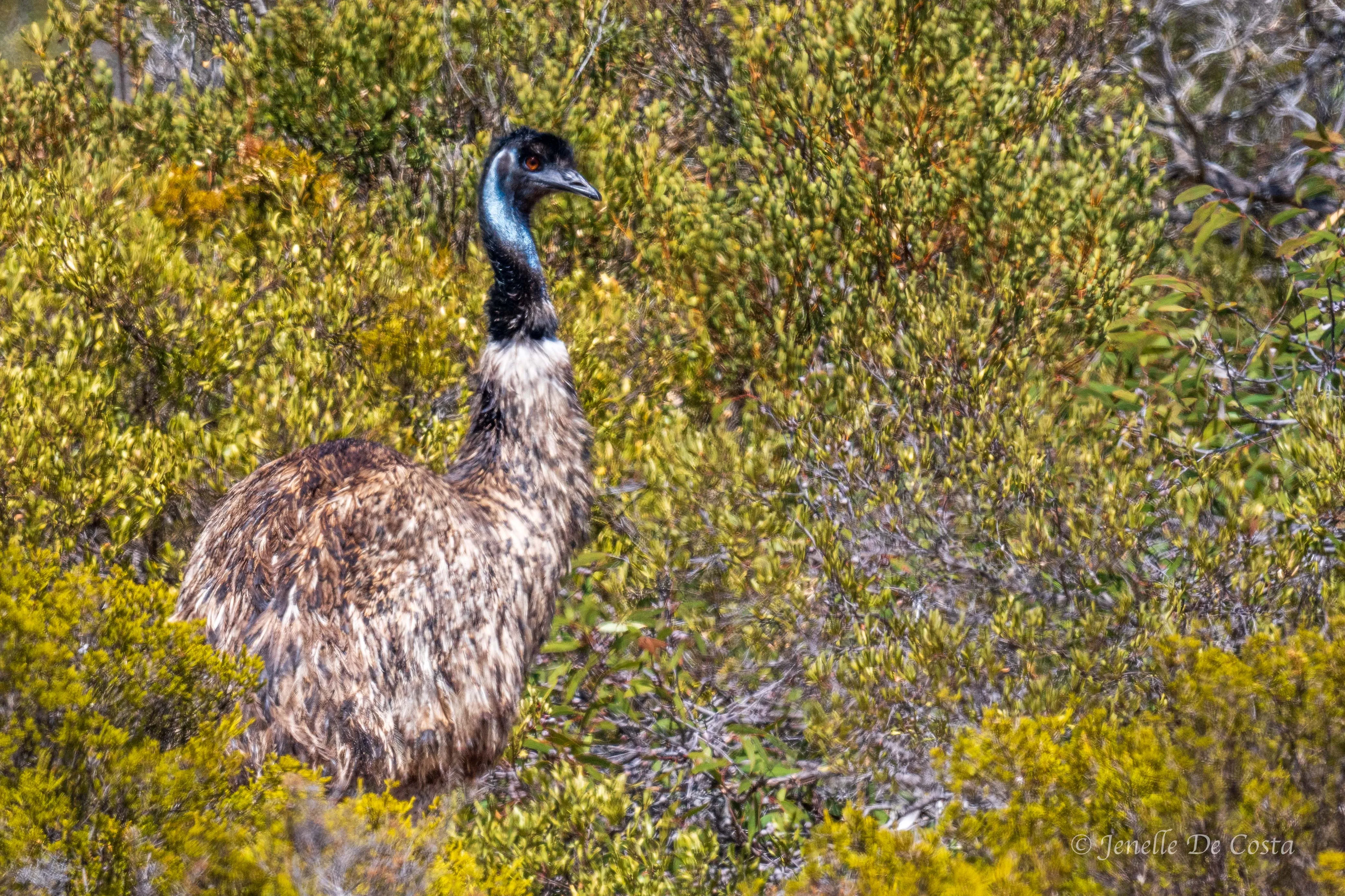
Unusual find in Innes NP…
Day 27 - 2nd March
Corny Point - Point Turton - Hardwicke Bay - Port Rickby - Port Victoria - Maitland - Port Hughes.
Starting to head north along the west coast of the Yorke Peninsular...
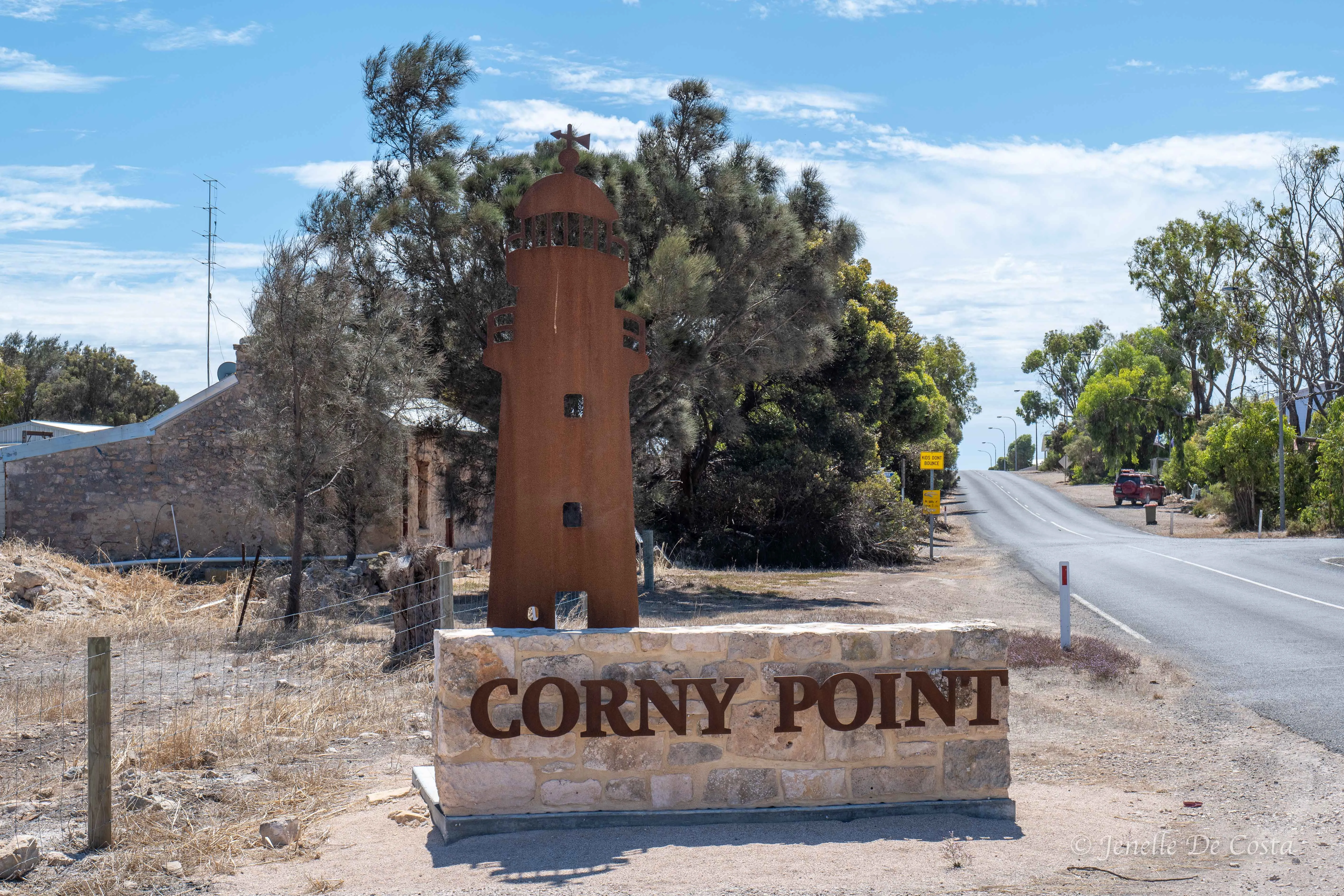
Leaving Corny Point behind…
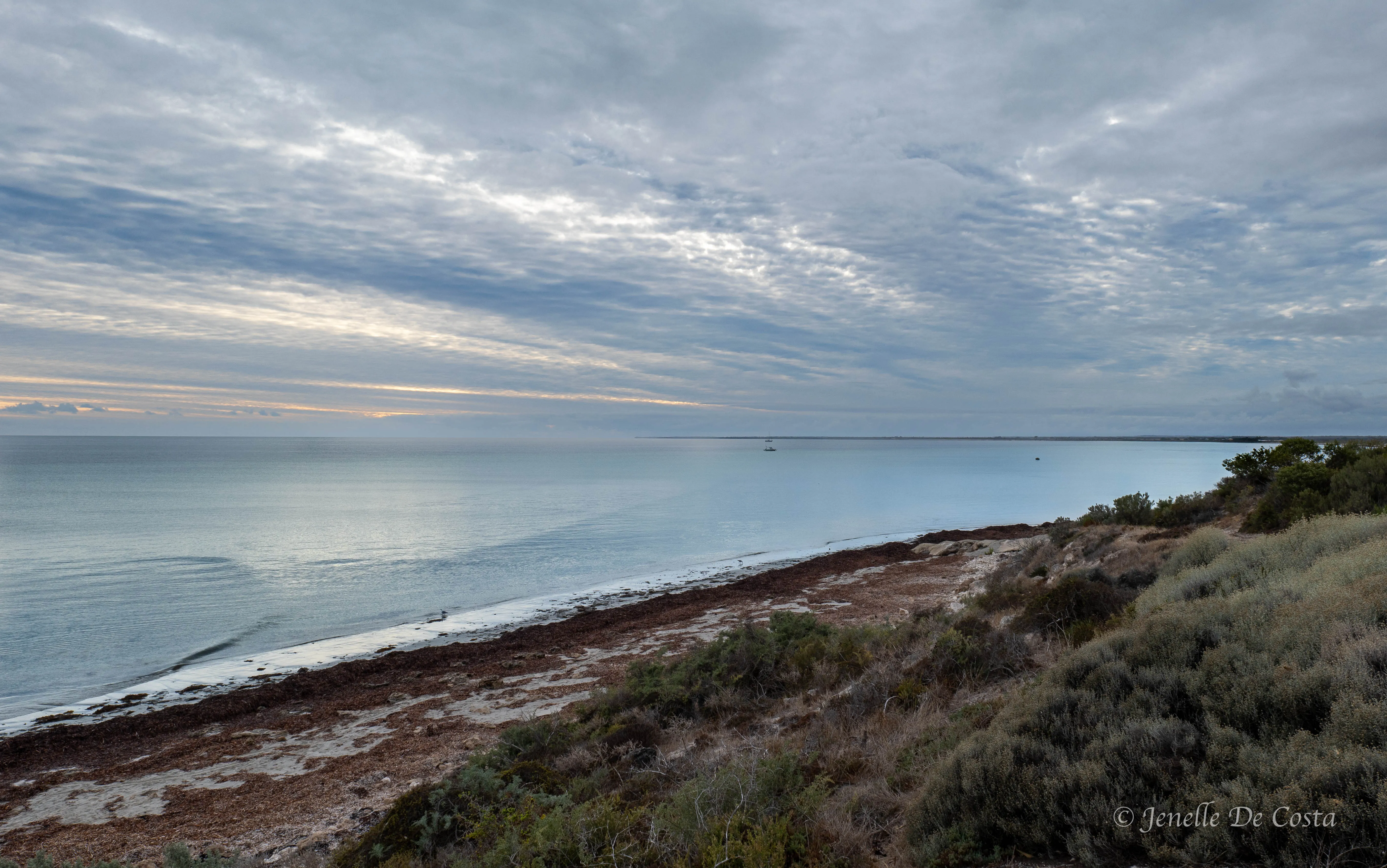
Looking west across the Spencer Gulf the west coast of the Yorke Peninsular…
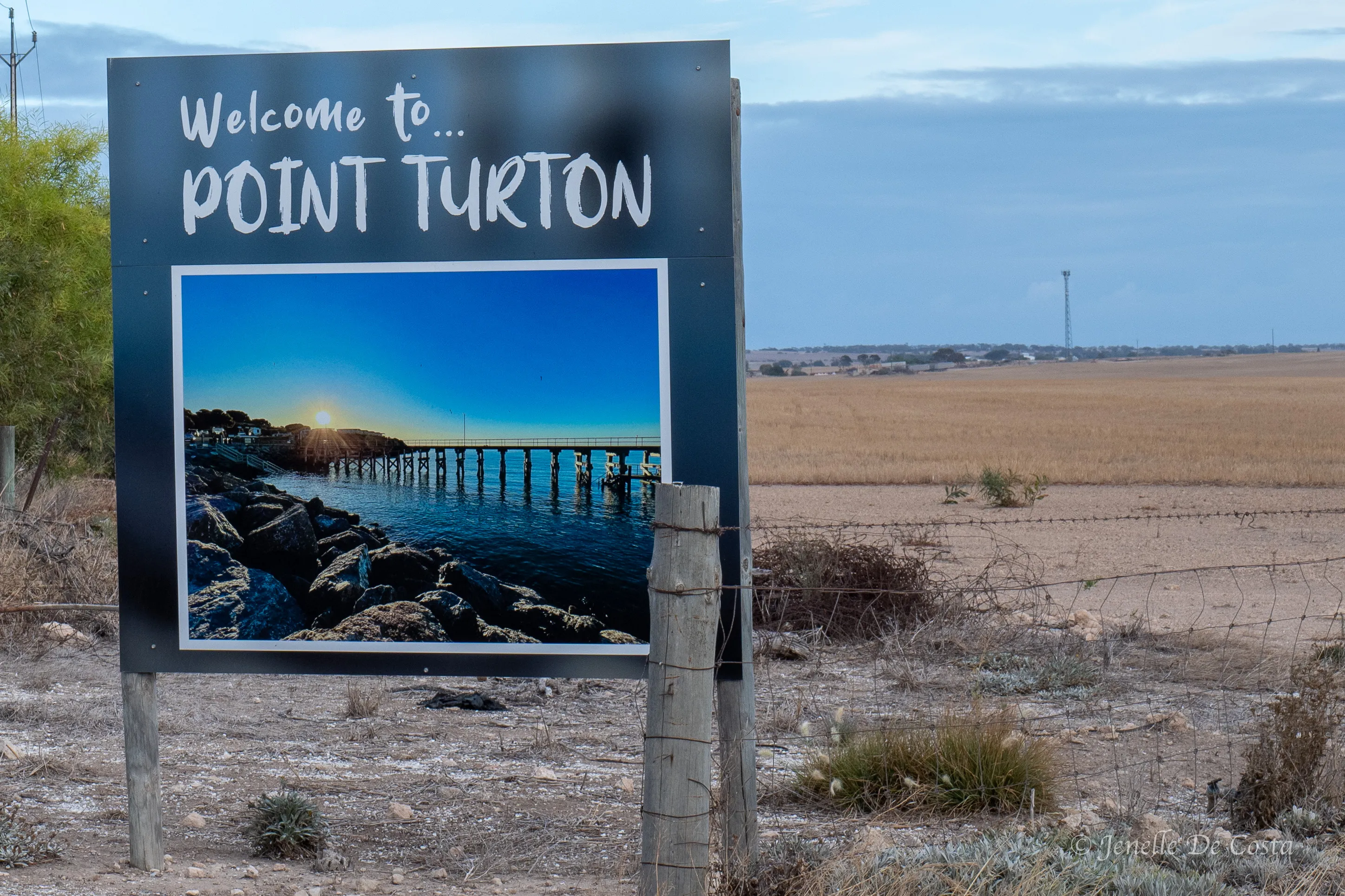
Point_Turton…
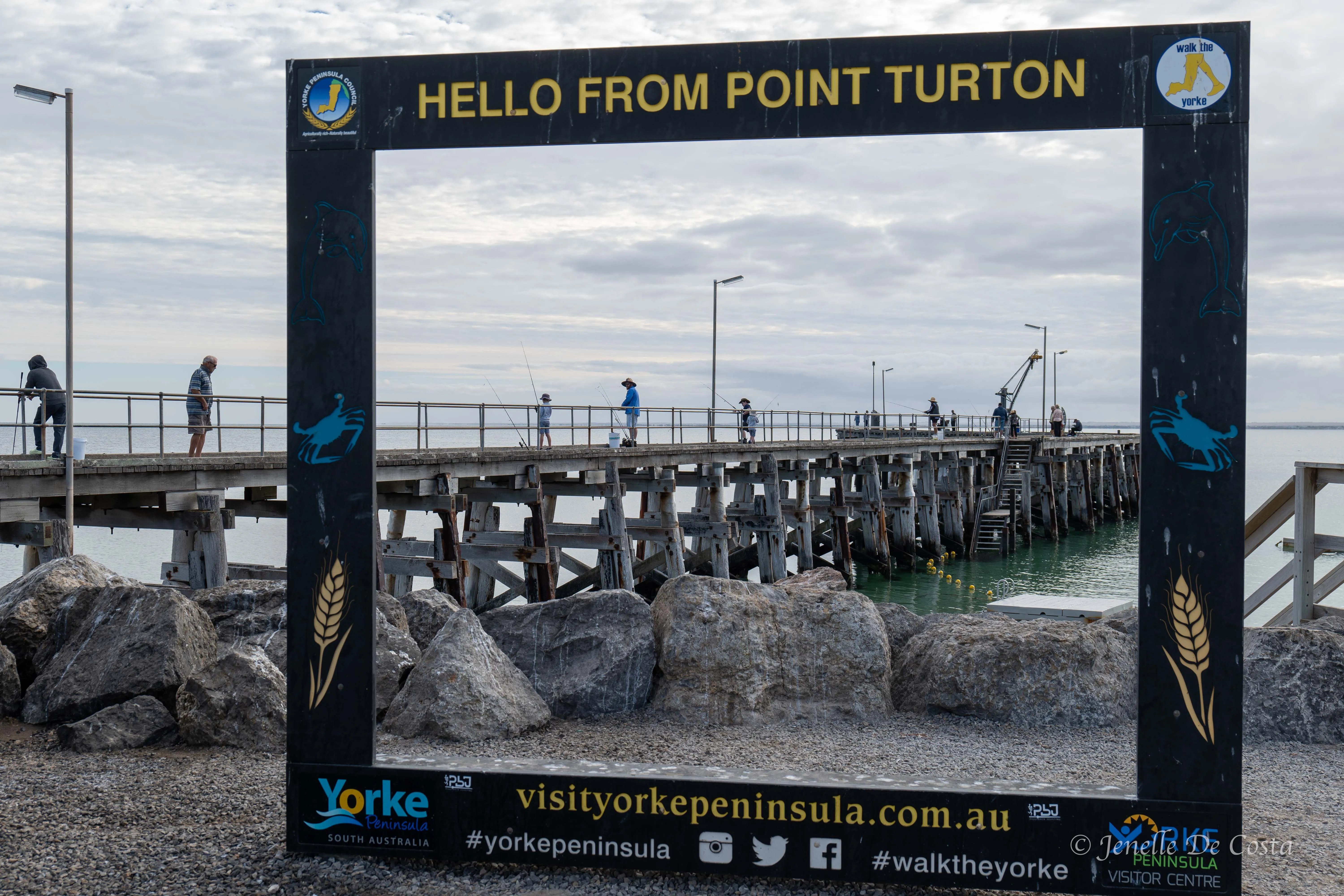
Point_Turton_Jetty…
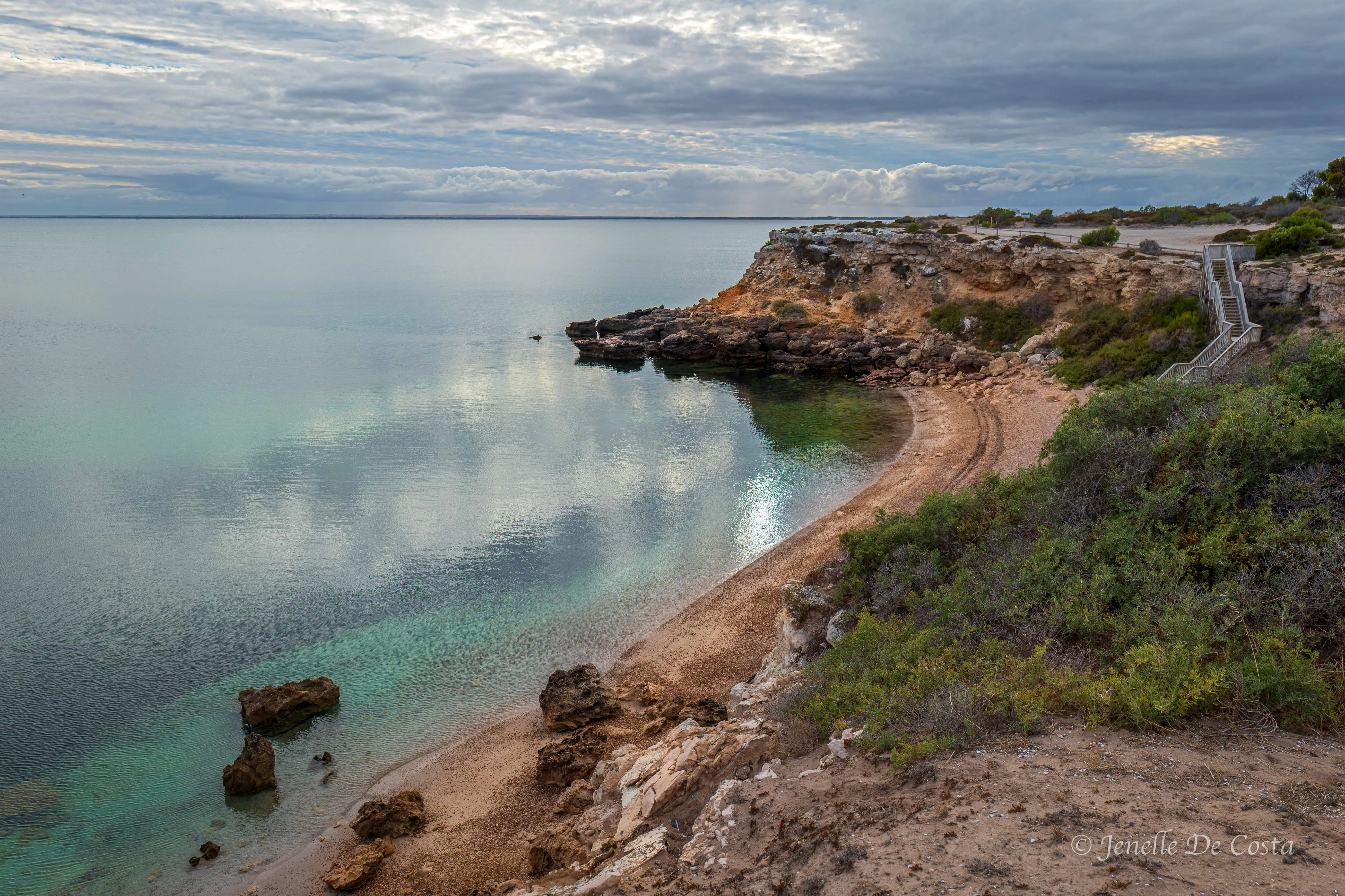
Point_Turton…
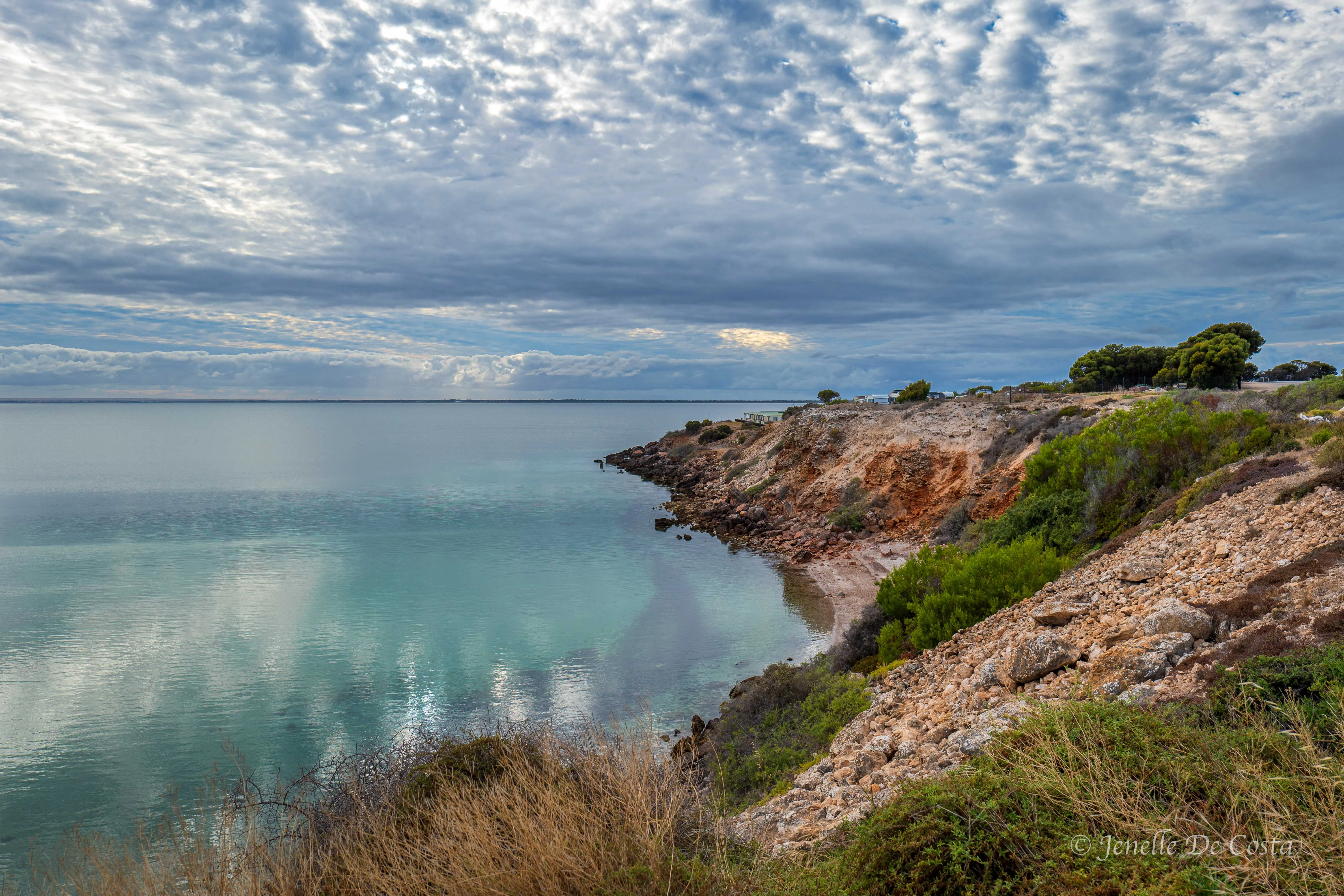
Another view of the Spencer Gulf this time from Point_Turton…
The next location is Hardwicke Bay. A small fishing holiday village.
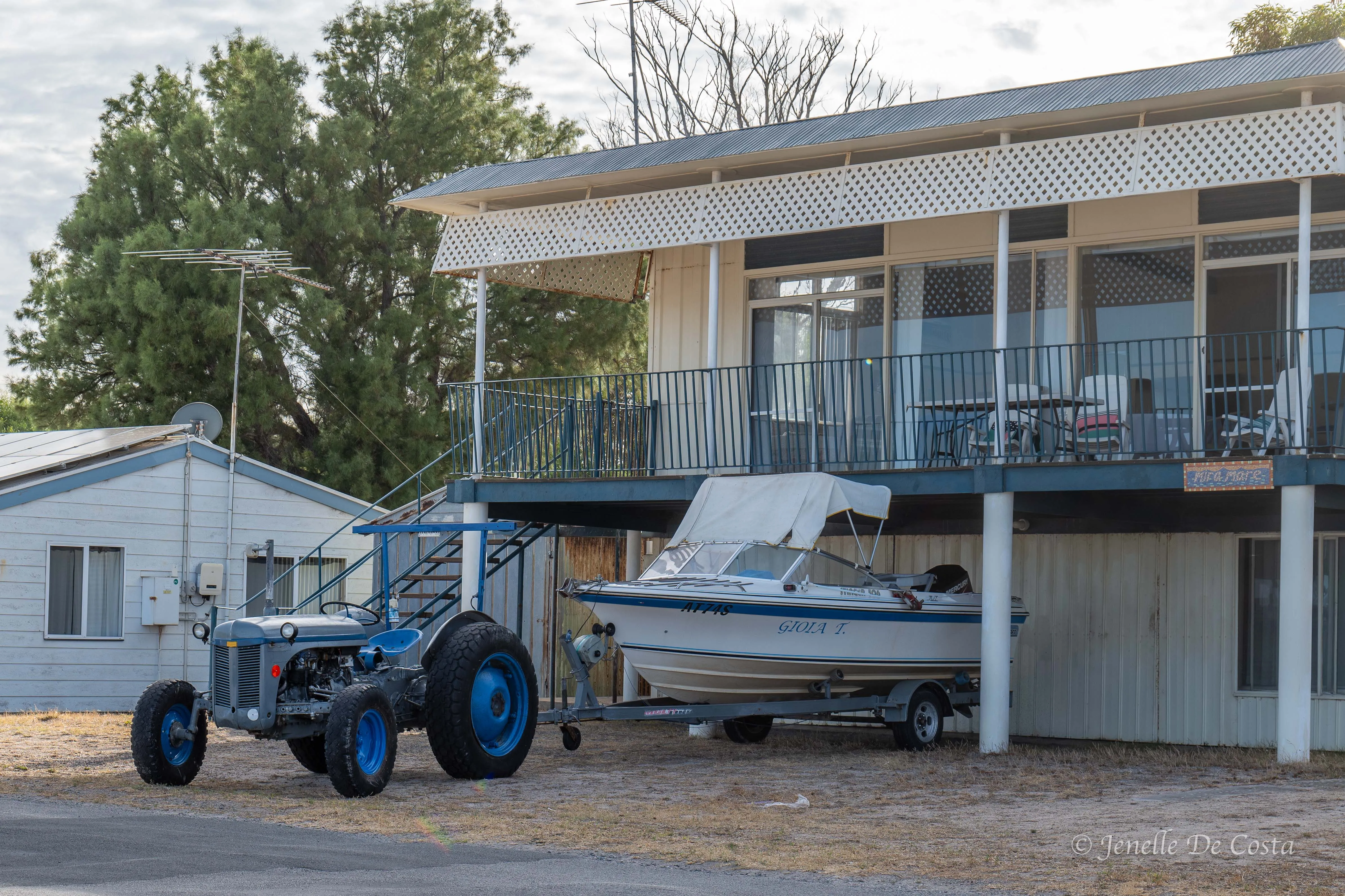
The old Fergie is hooked up and ready to go fishing…
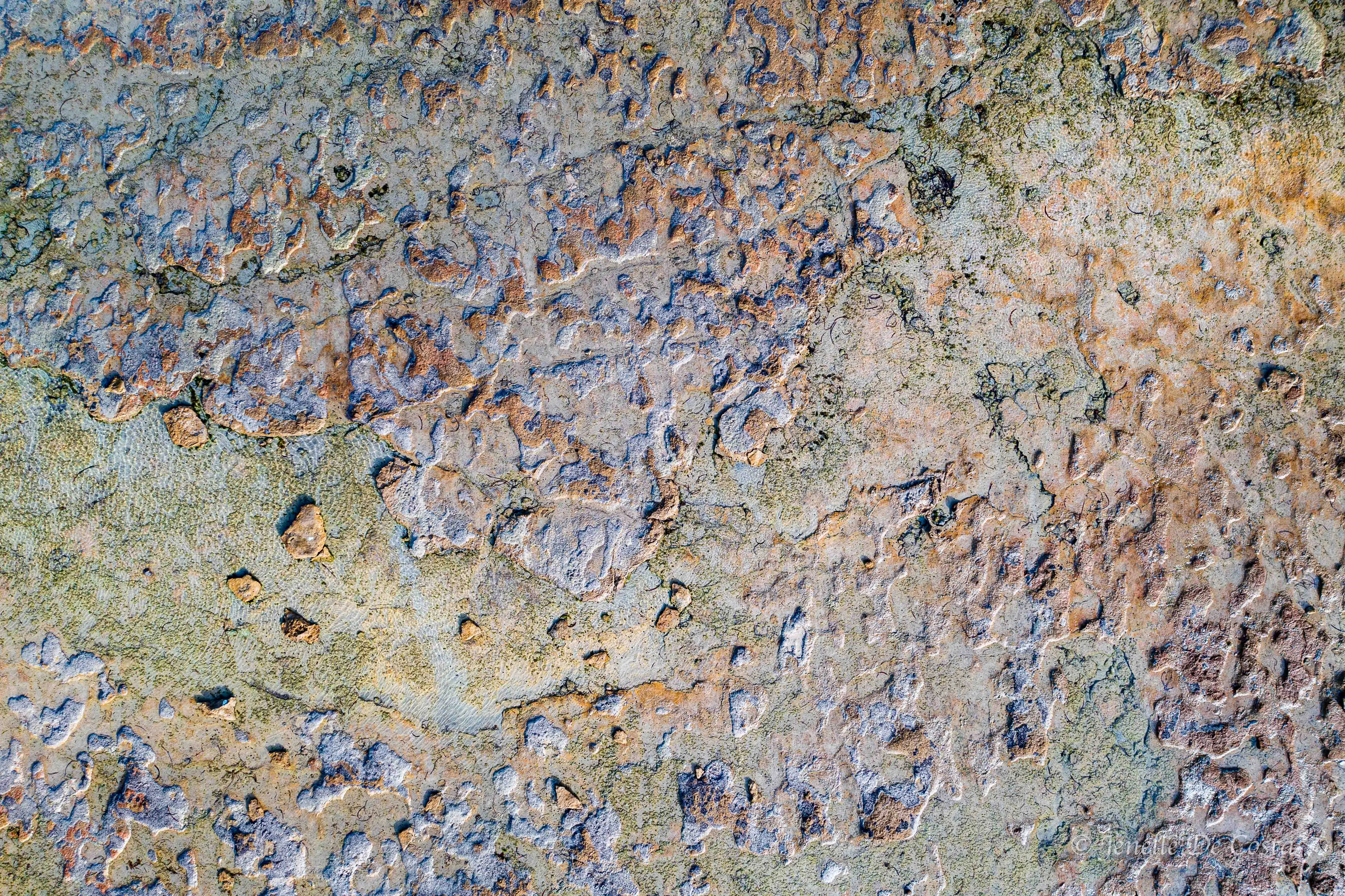
We did get some pretty amazing top down drone shot…
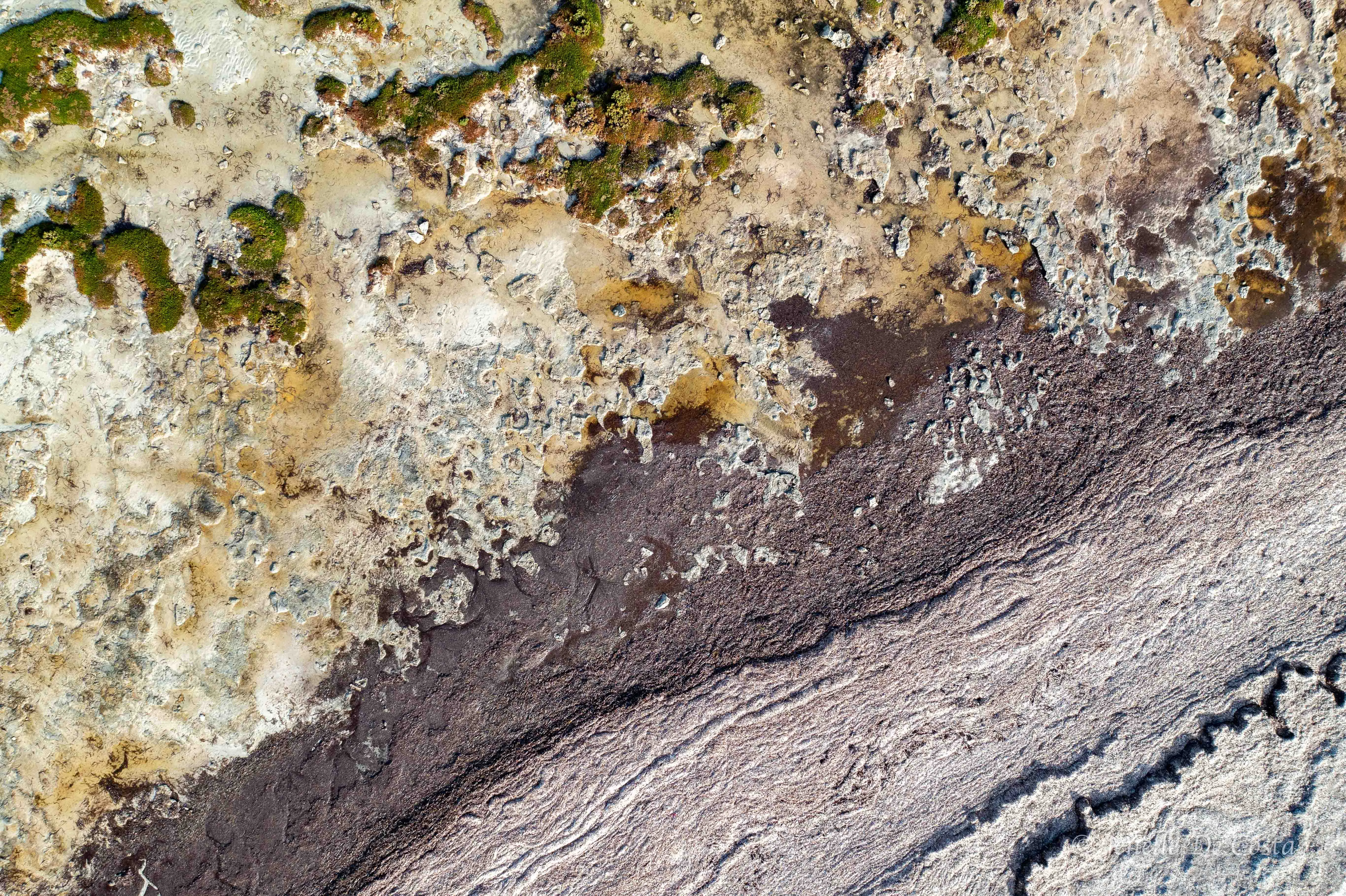
surreal…
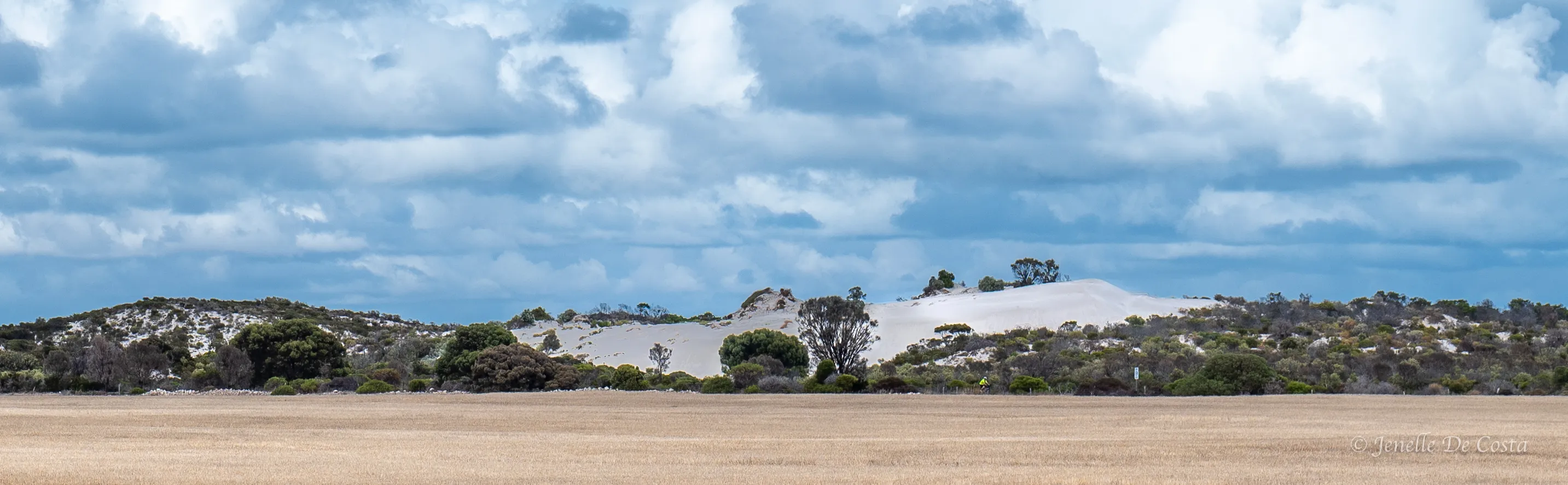
Around here they farm to the base of the sand dunes…
We passed though the town of Minlaton to our next stop at Port Rickby. All these ports were once significant for getting supplies into the peninsular's inland, but now they are mostly just fishing holiday spots
Port_Rickby_Jetty…
Now onto Port Victoria
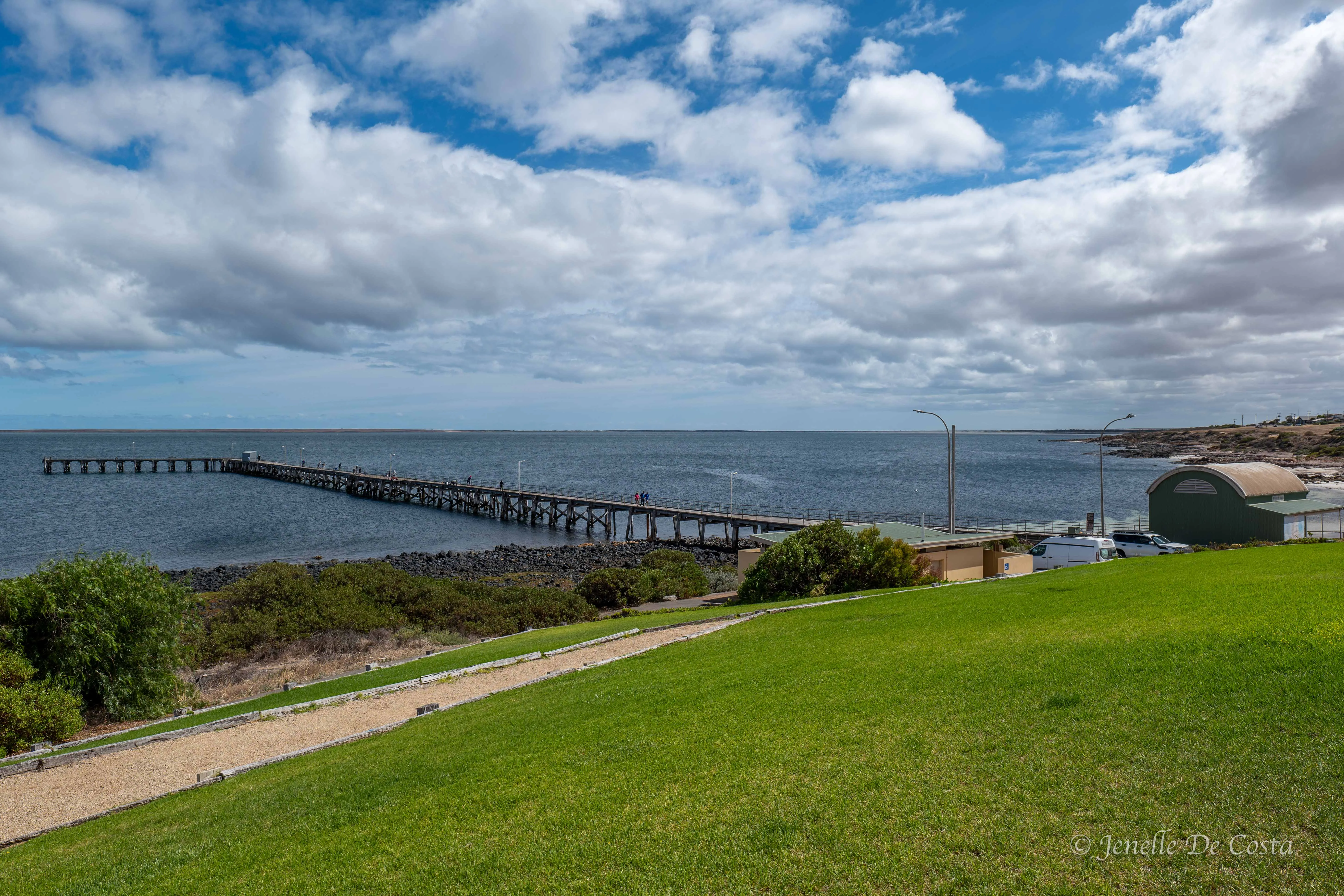
Port_Victoria_Jetty…
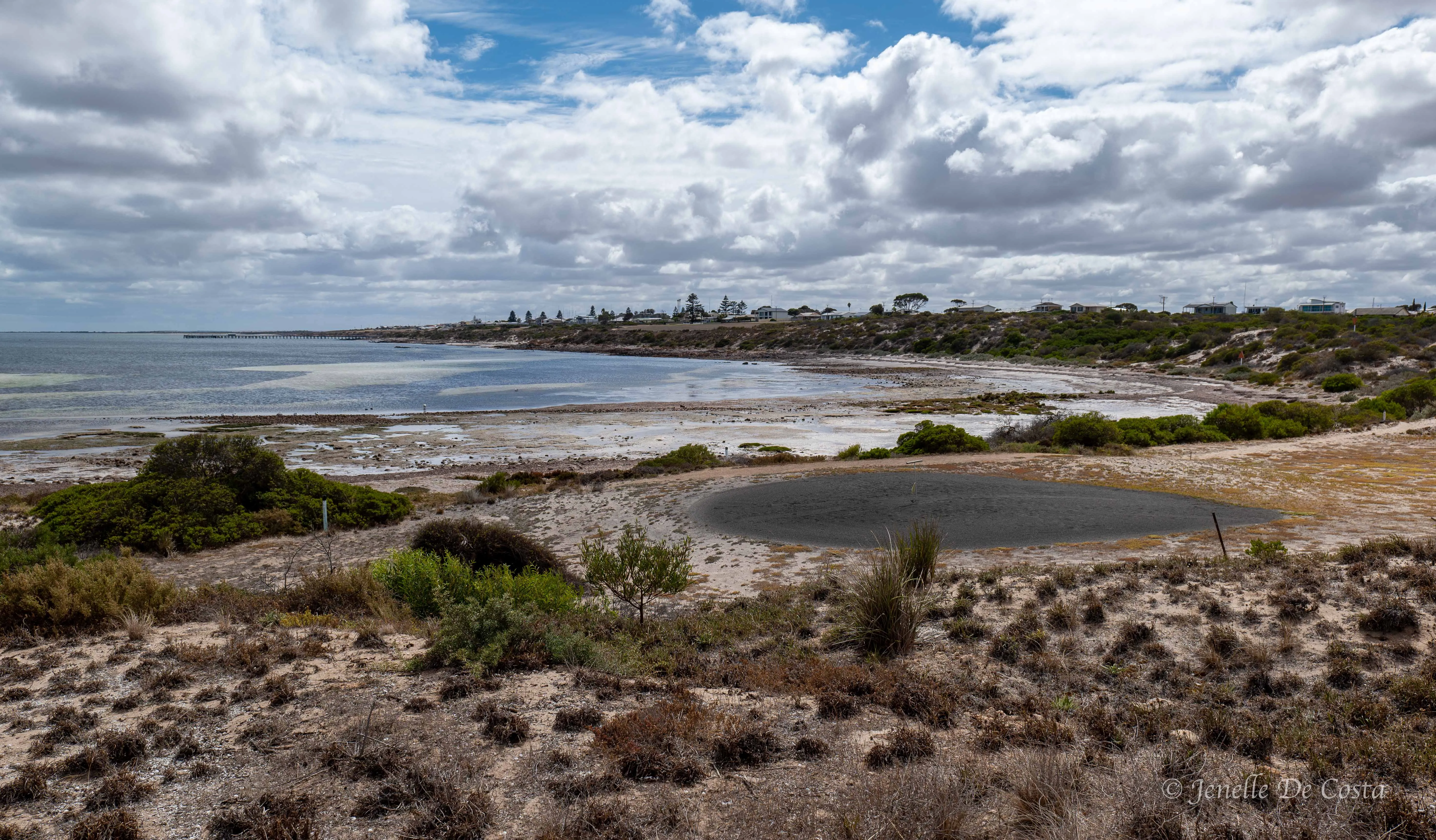
Port_Victoria…
Back into the interior via Maitland which is the "capital" of the Yorke Peninsular
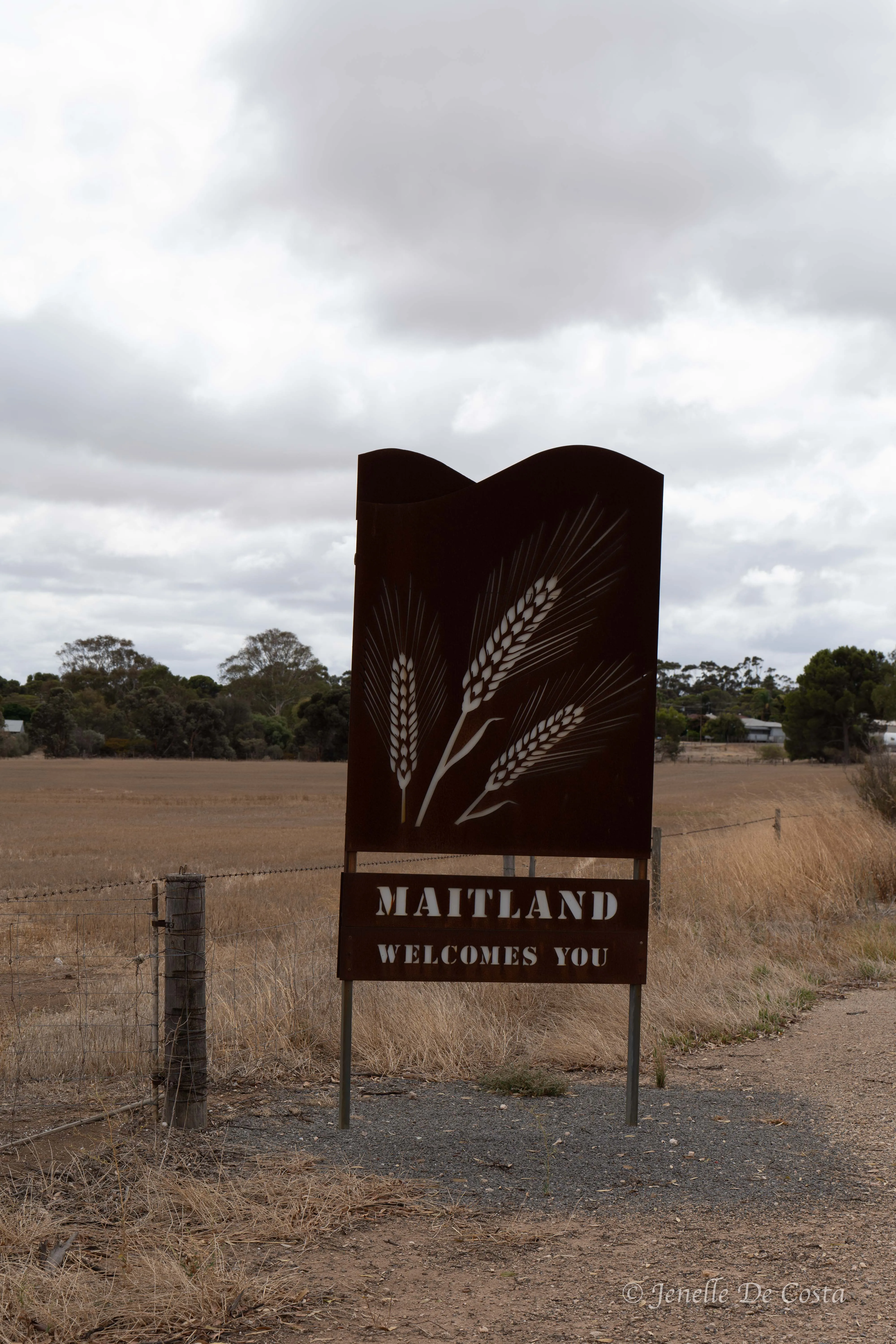
Maitland_Sign…
Back in the wheat fields and the occasional old stone building…
One_Tree_Hill…
For today we just pass though Moonta, an interesing looking town, and head to Port Hughes to check in.
Another holiday town although larger and more modern than what we have seen today…
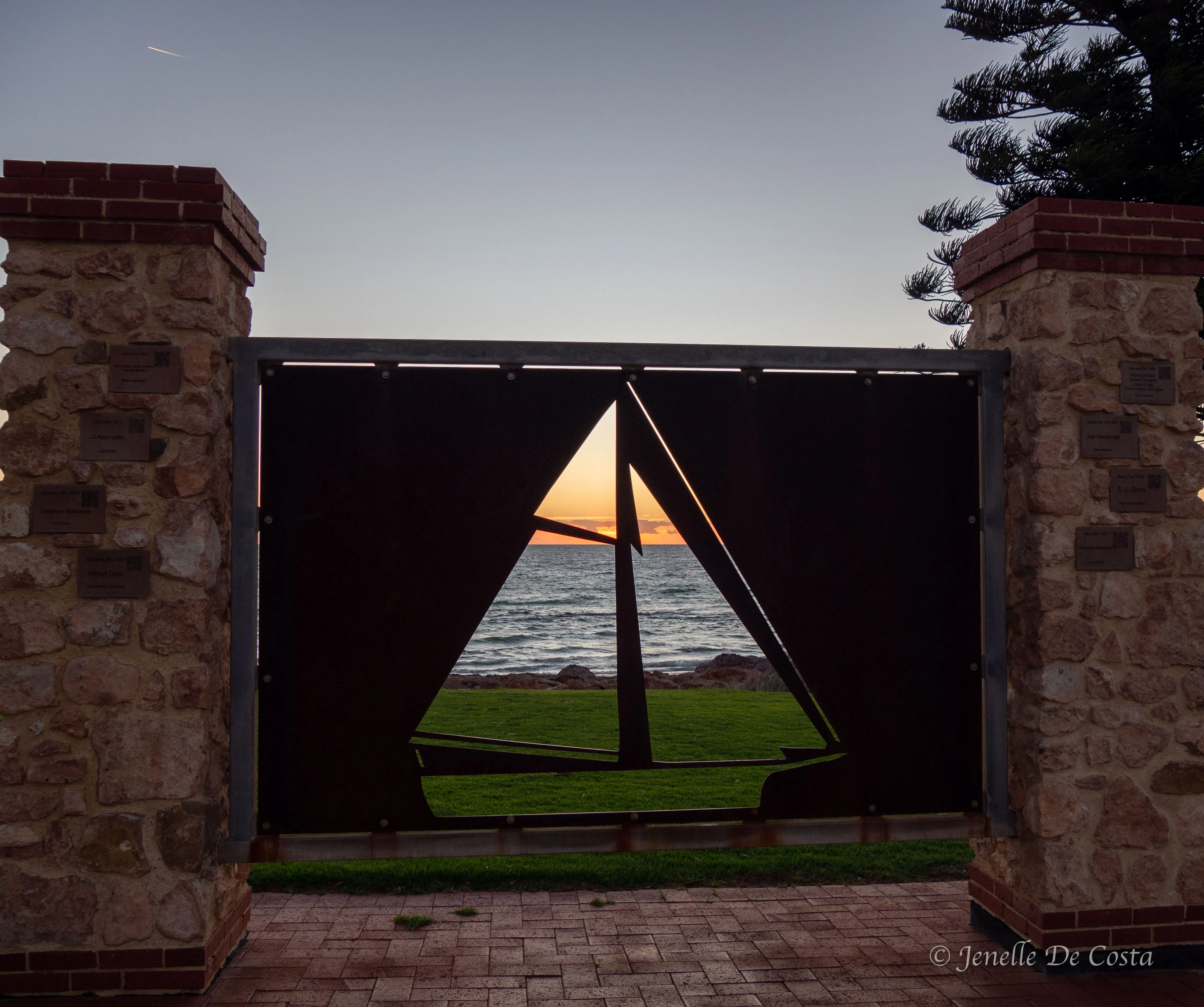
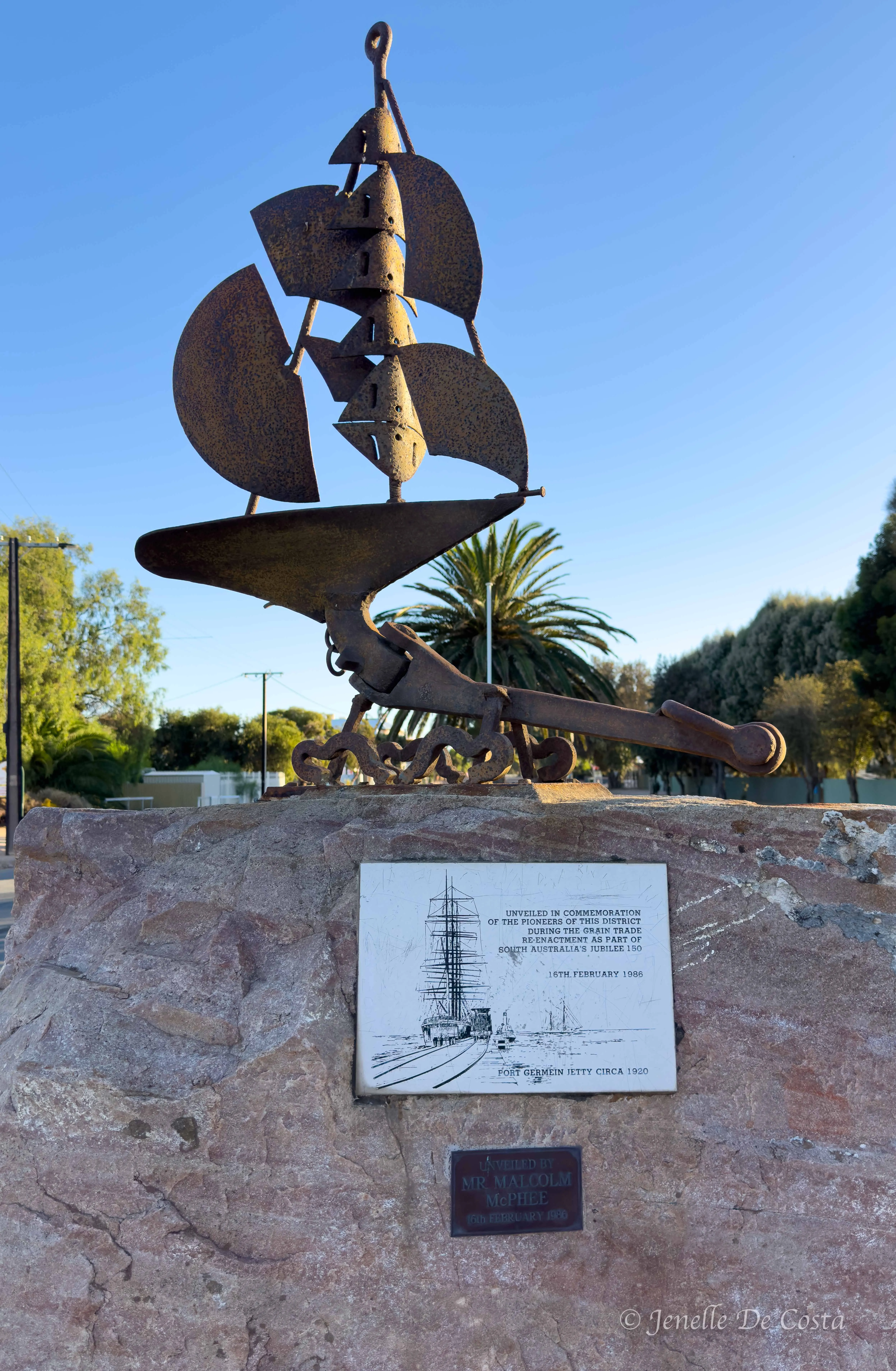
The ship cut-out sculpture…
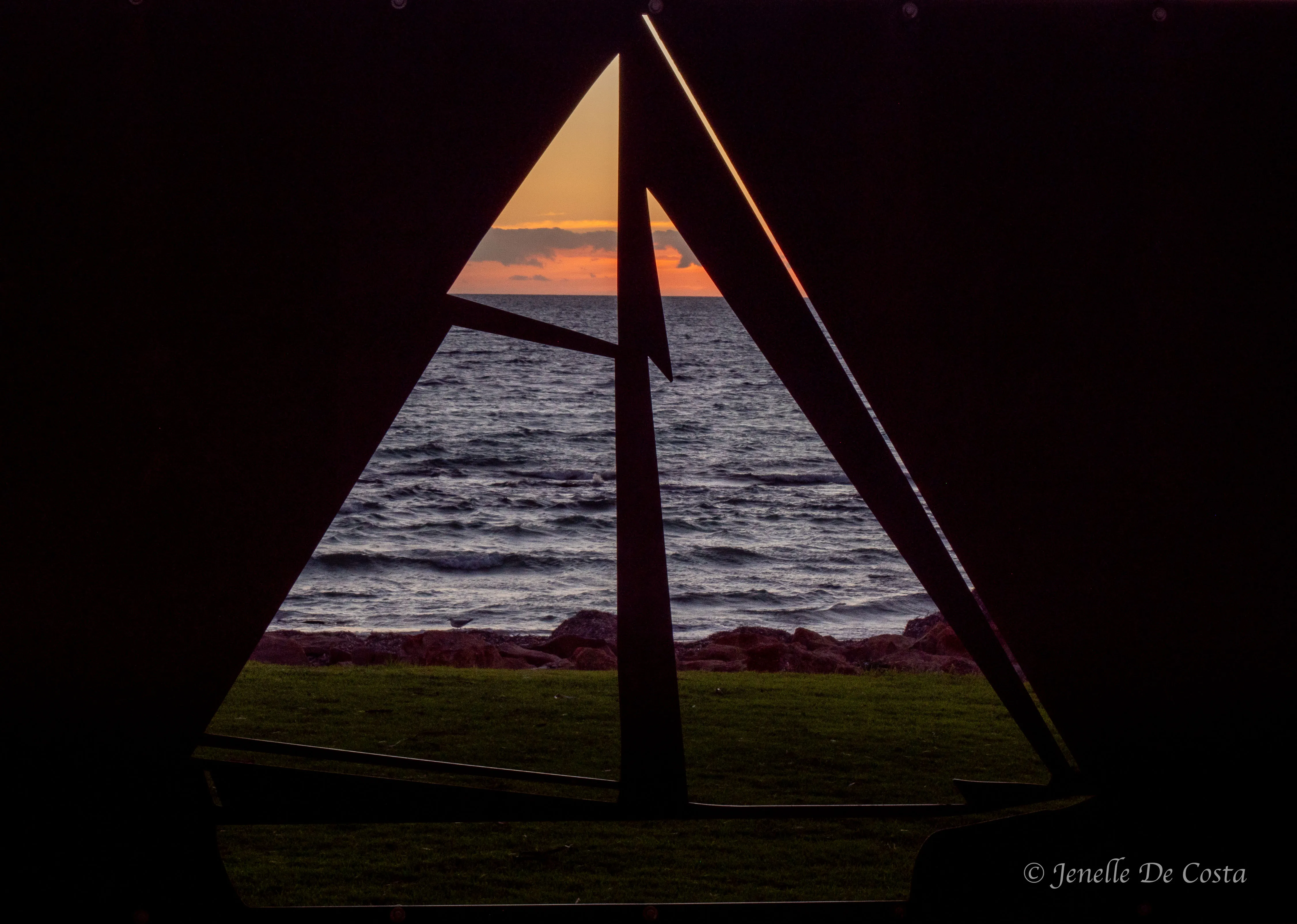
makes for an interest sunset shot…
Day 28 - 3rd March
Port Hughes - Moonta - Wallaroo
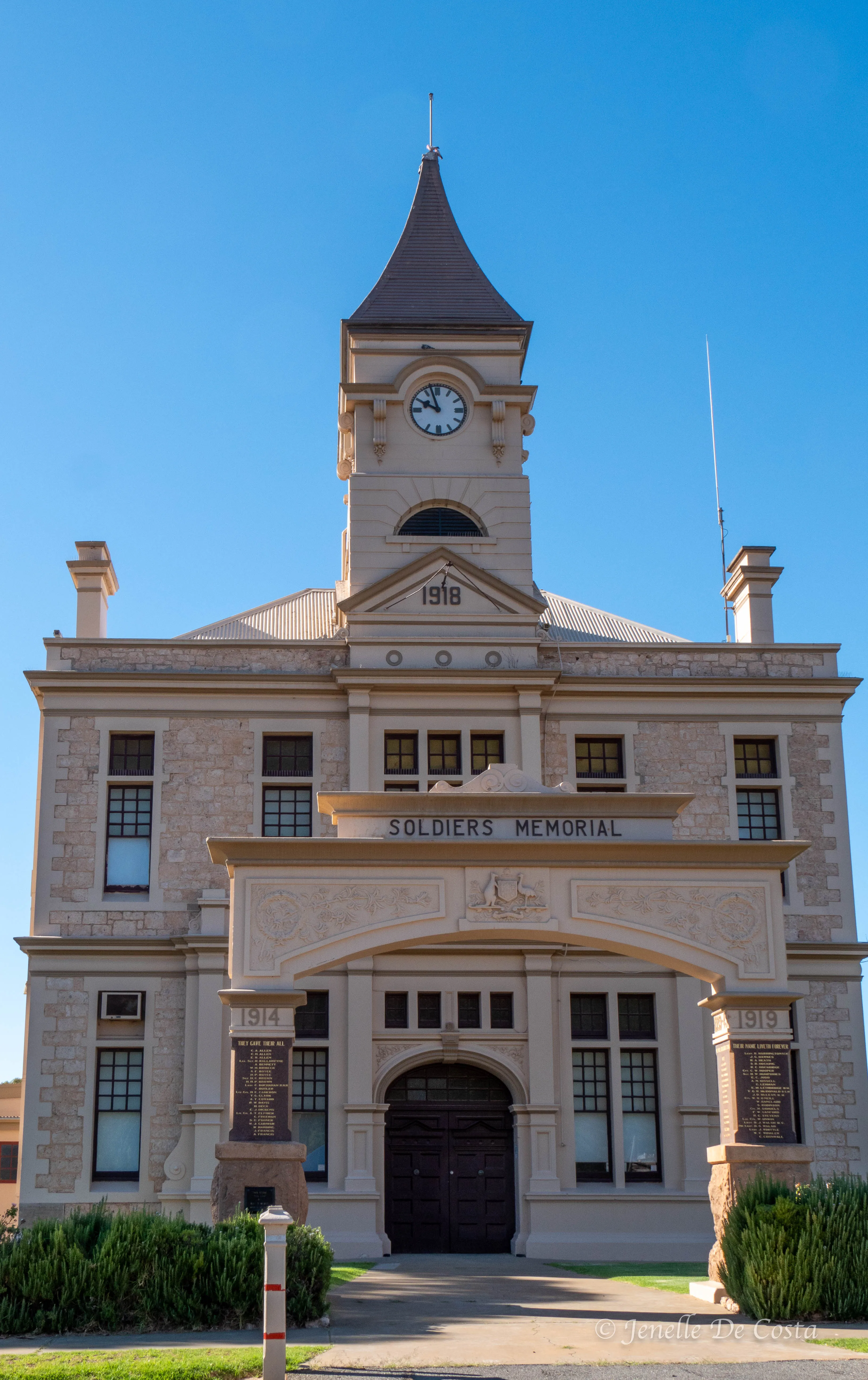
First stop. Moonta an old Cooper town. Back in the day a very prosperous town with magnificant public and private buildings. A total surprise...
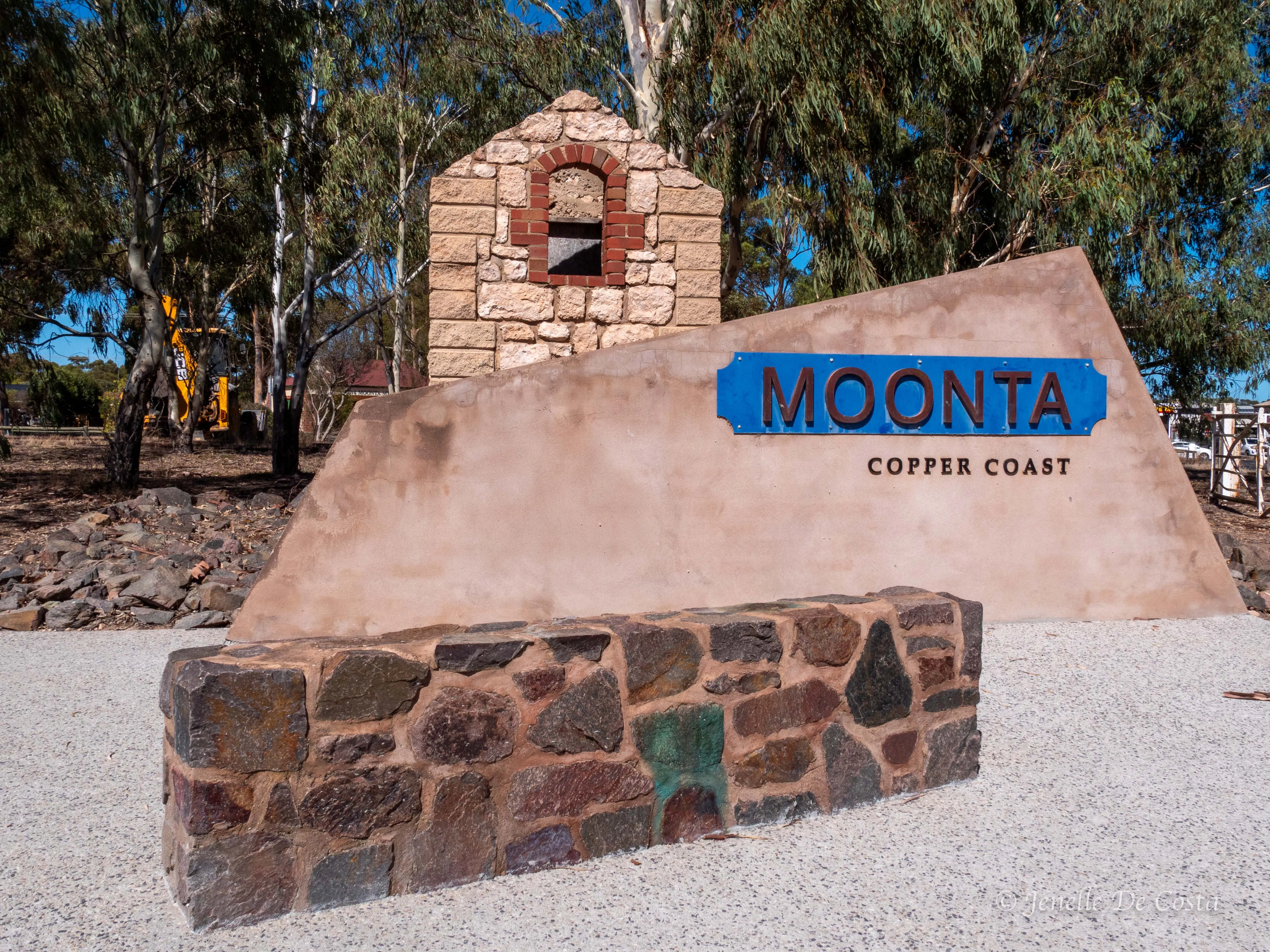
Moonta_Sign…
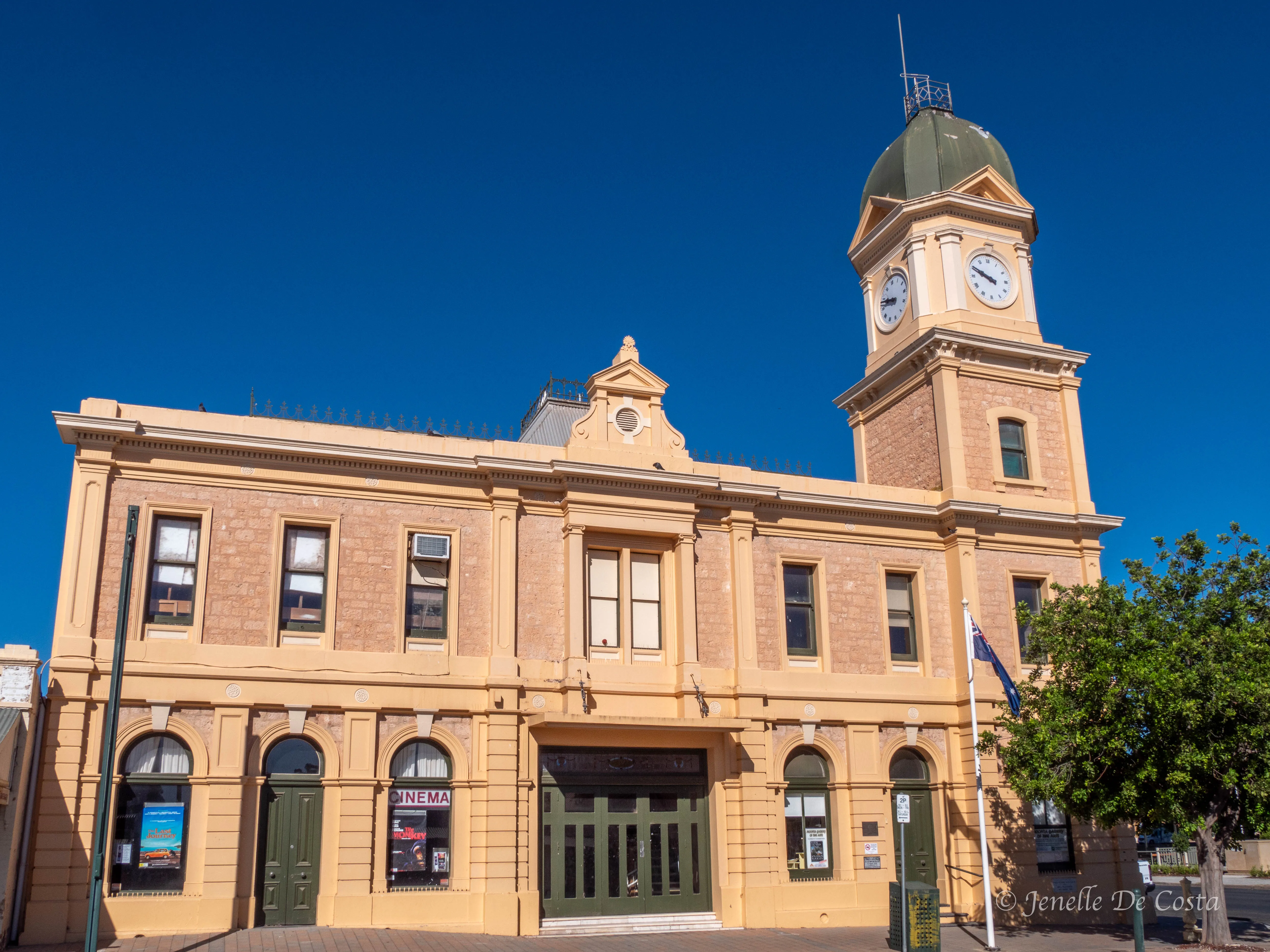
Moonta_Town_Hall…
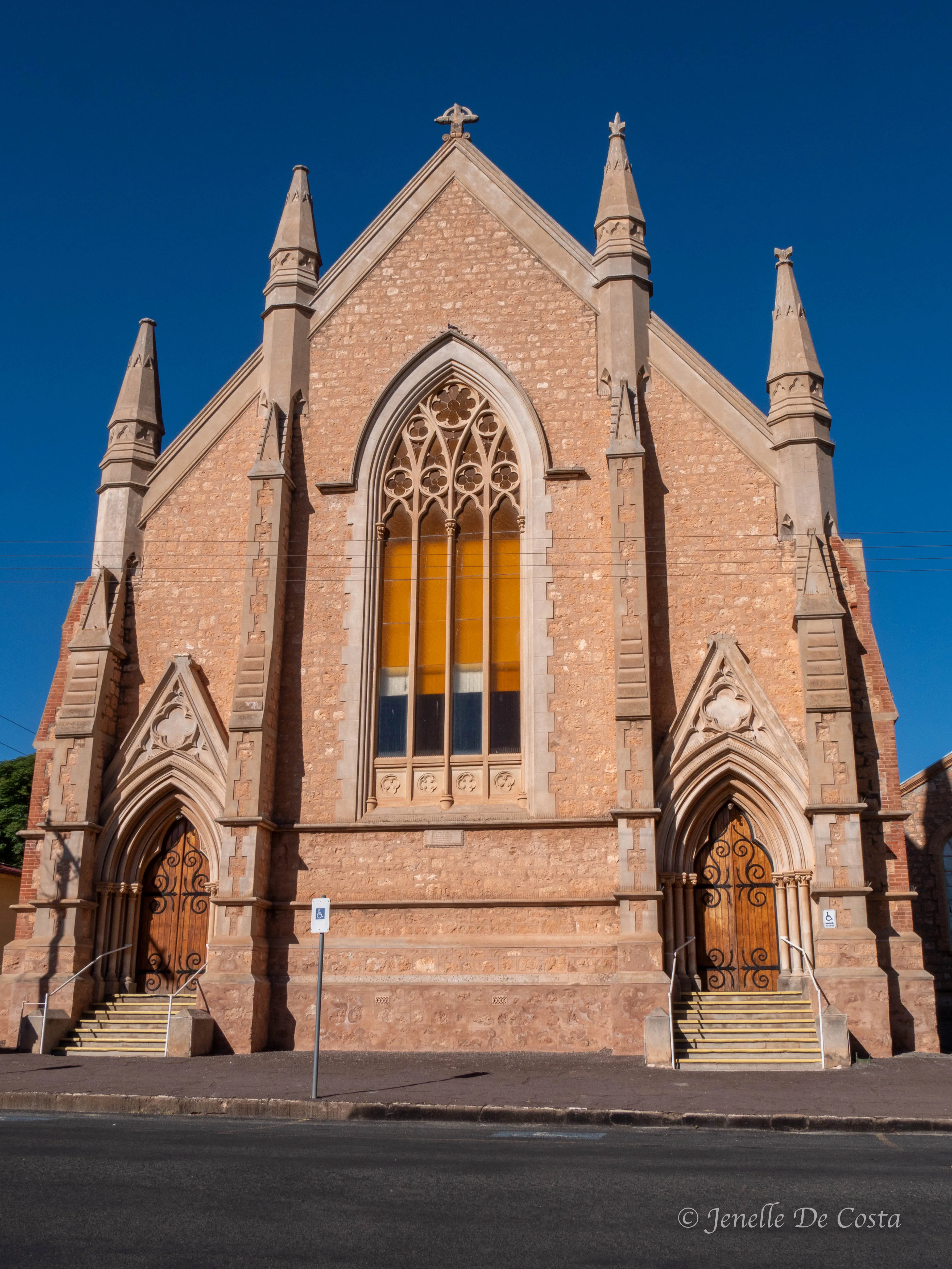
Moonta_Church…
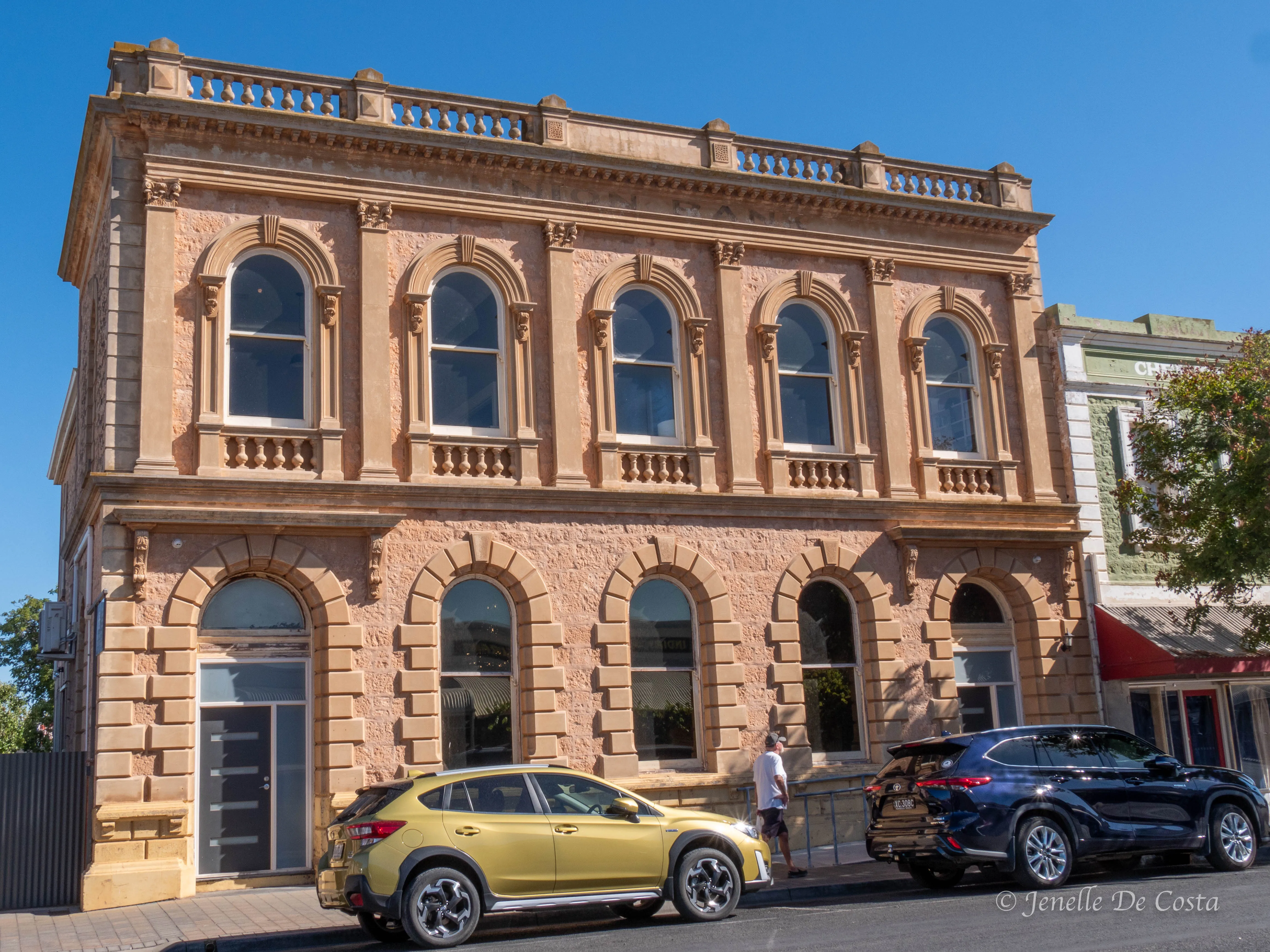
Moota_Bank_Building…
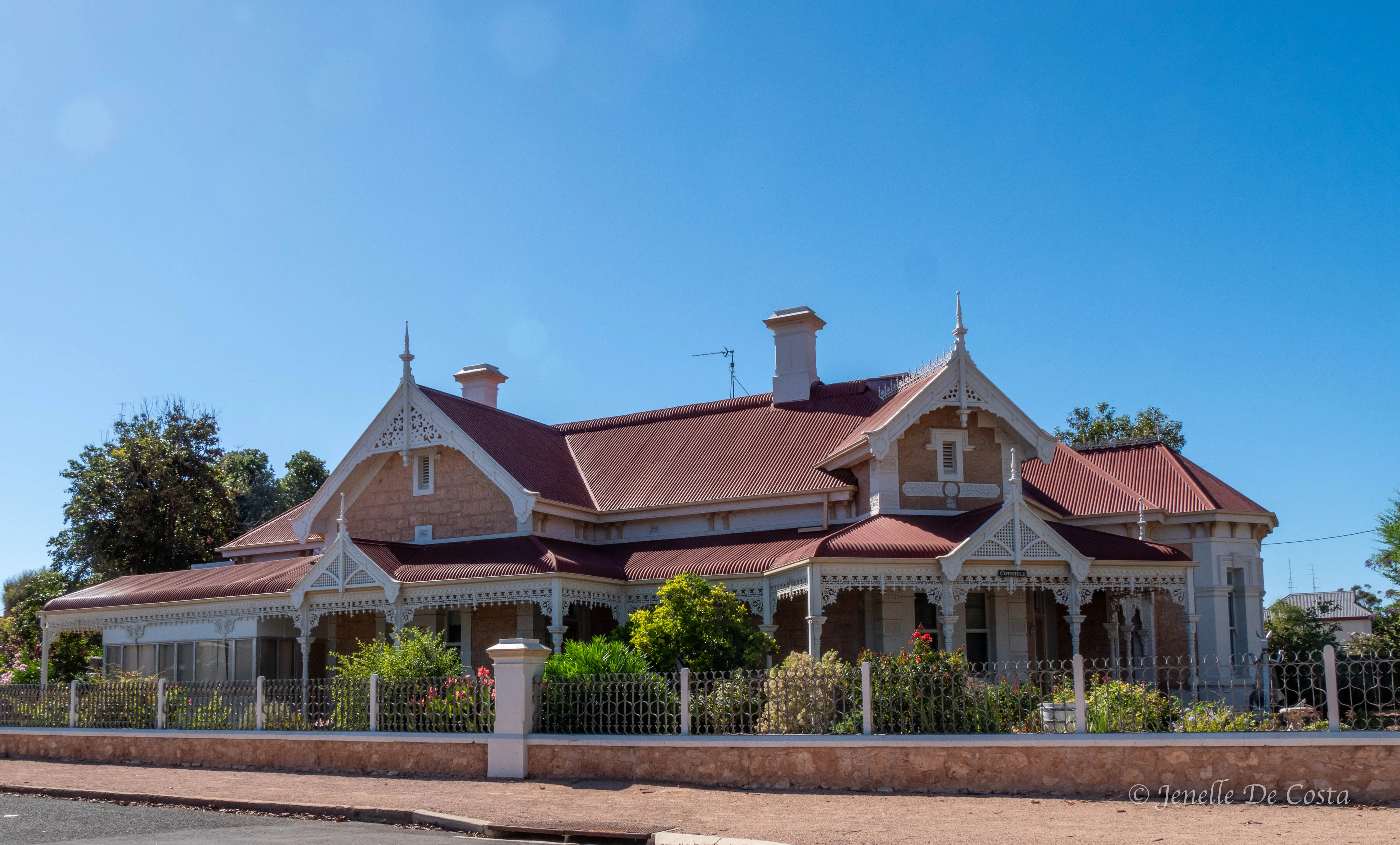
Moota_Grand_Home…
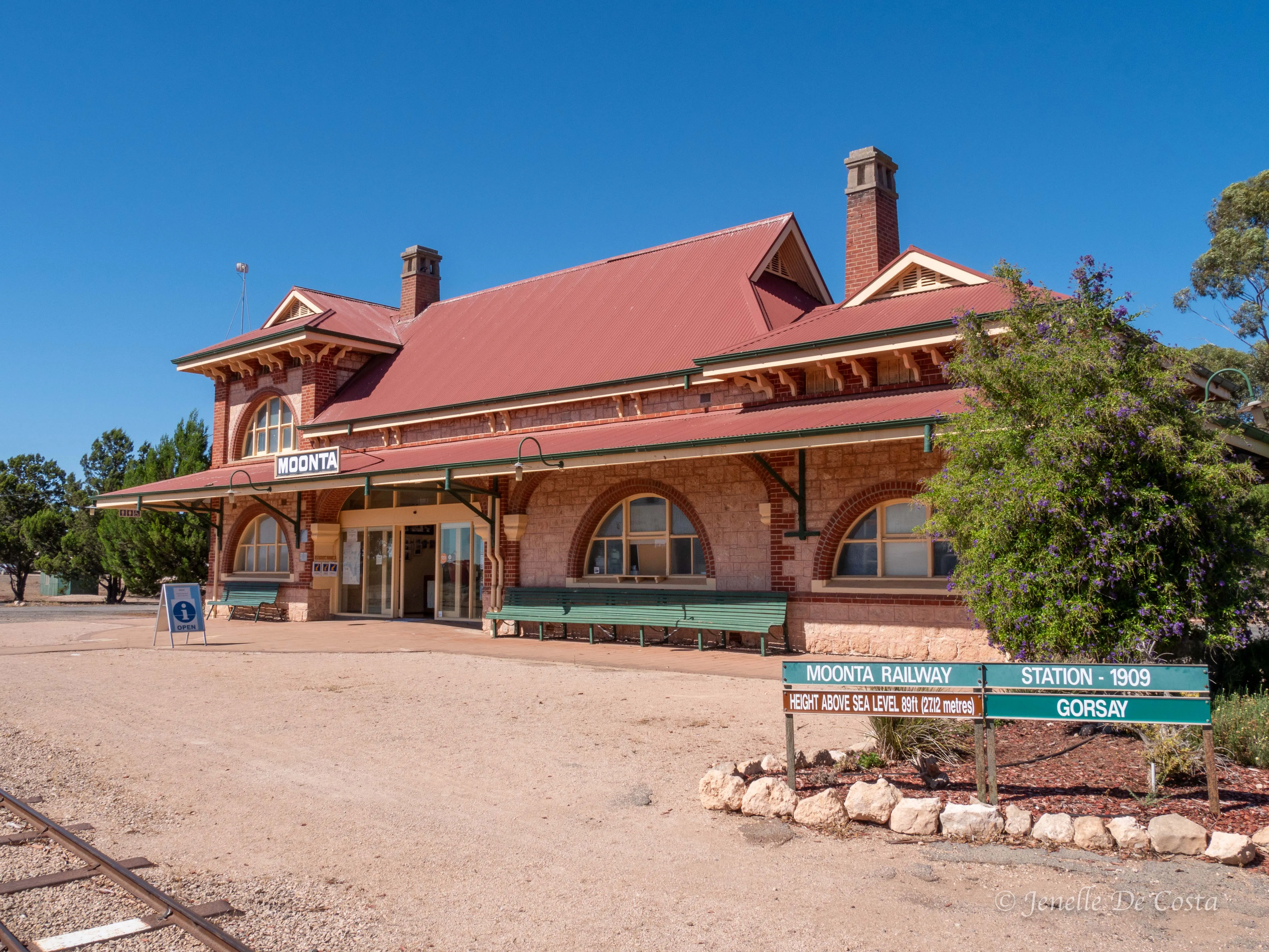
Moonta_Old_Railway_Stn now tourist info centre…
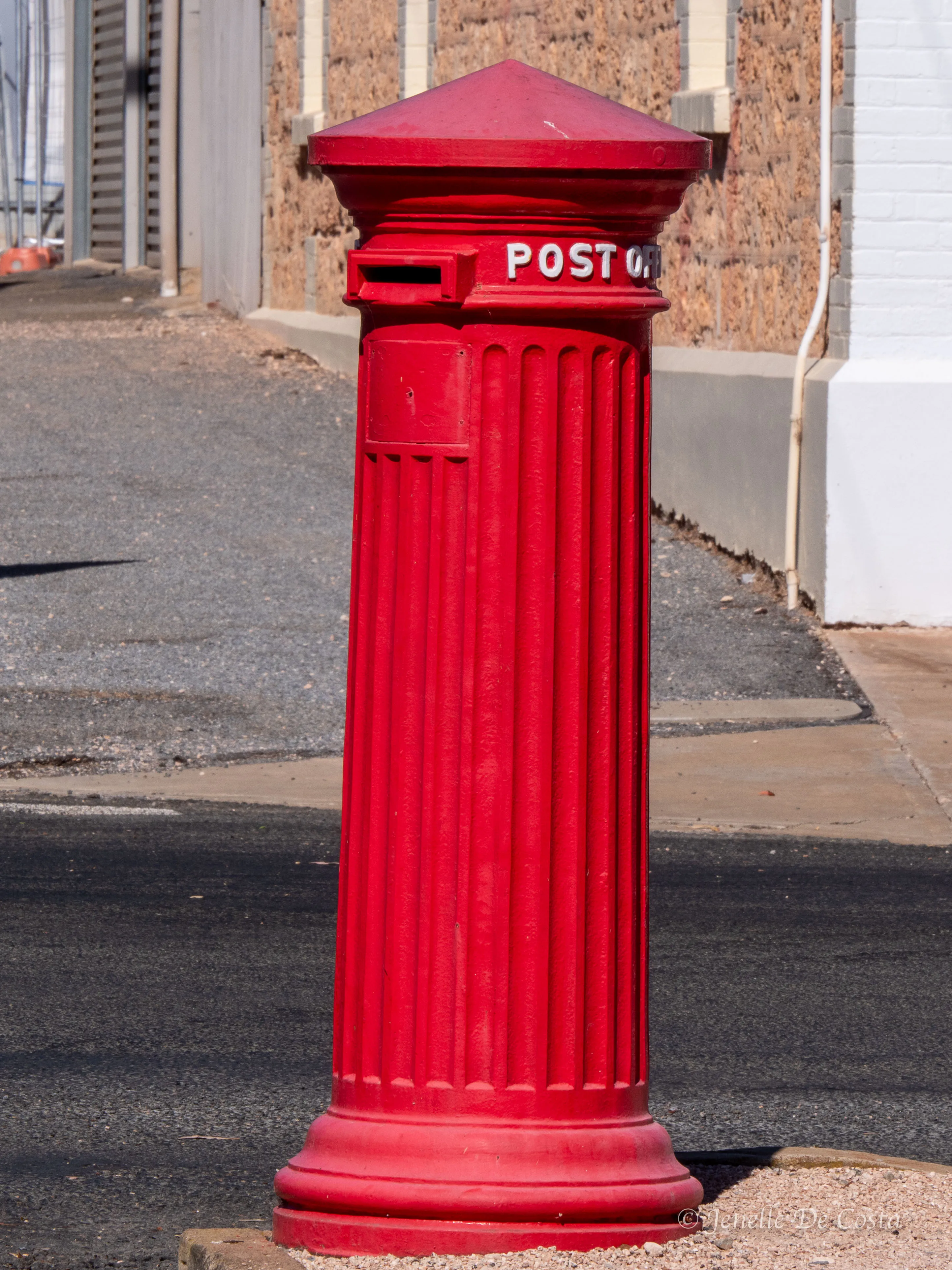
Moonta_Posting_Box…
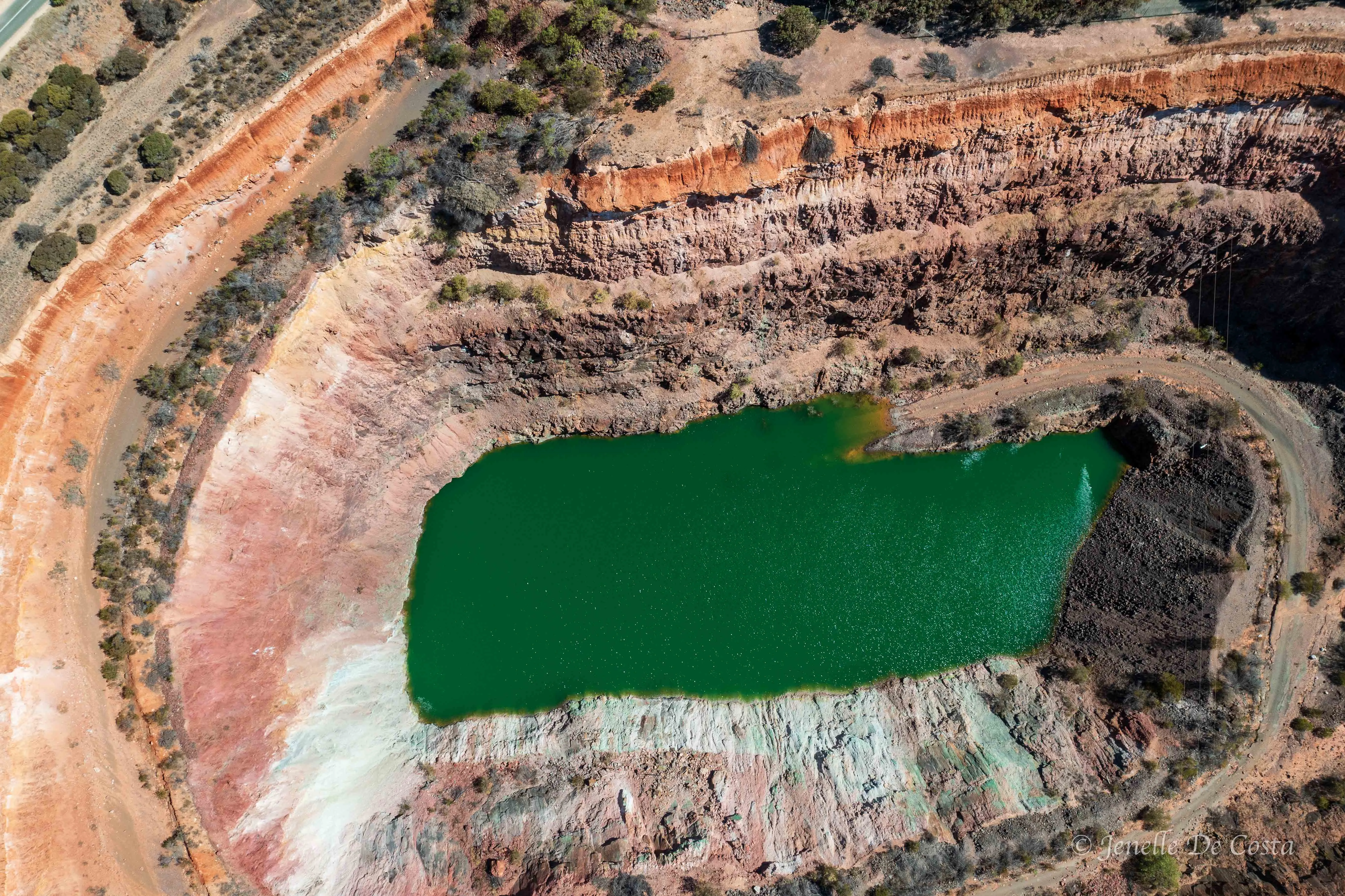
Old_Cooper_Mine outside Moonta…
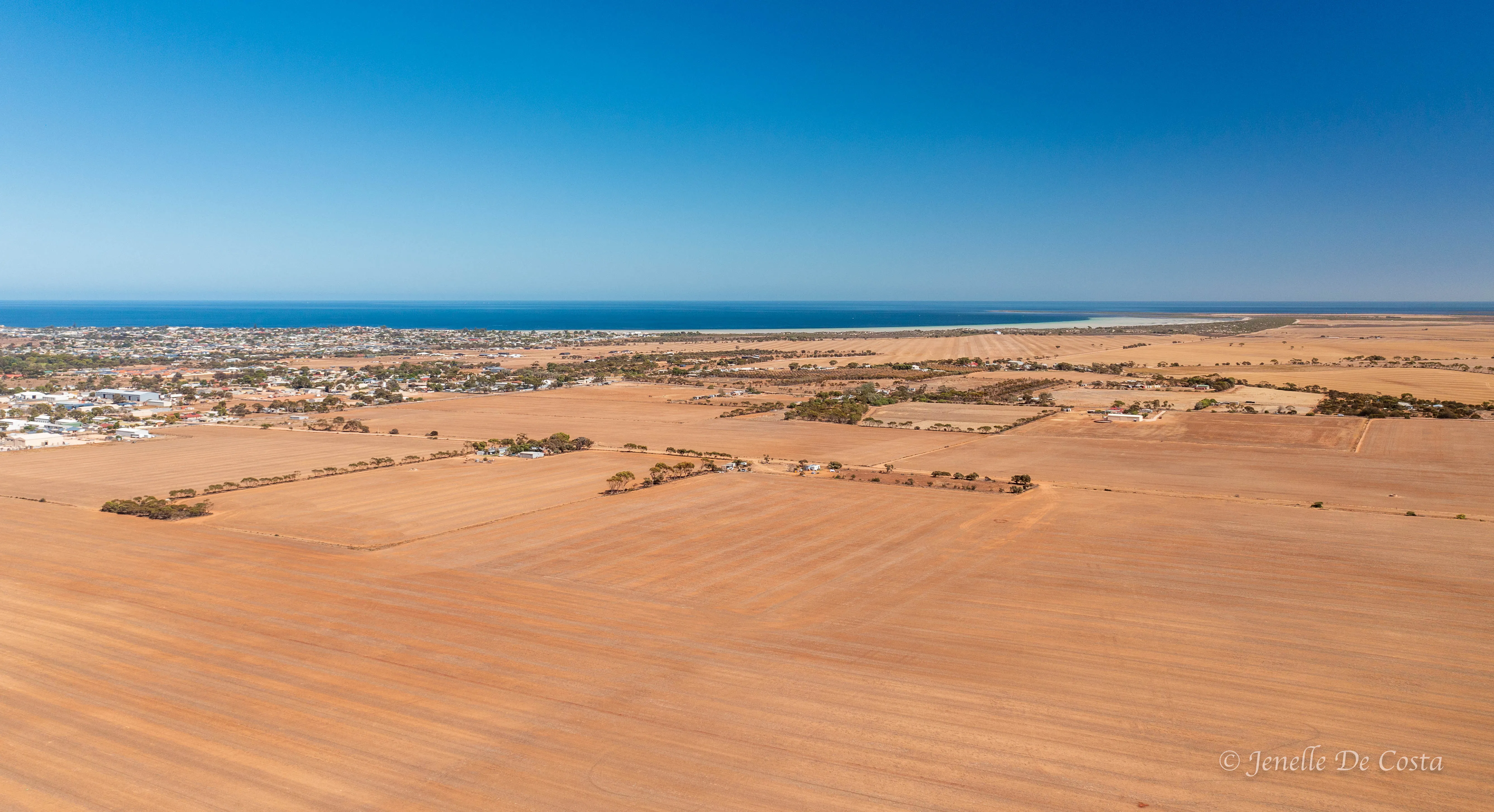
Wheatfields_Yorke_Peninsular…
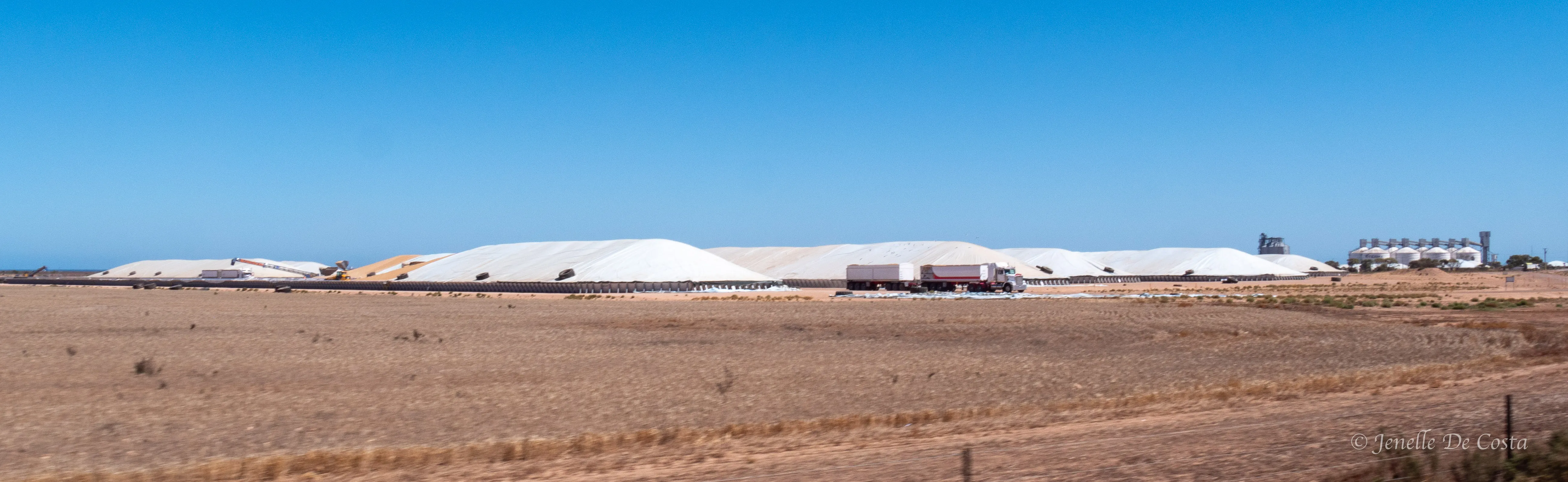
Big wheatfields need big grain_storage_depots…
Day 29 - 4th March
Wallaroo - Kadina - Port Pirie - Port Germein
We had a bit a look around Wallaroo before continuing north to Port Pirie and ultimately Port Germein...
Wallaroo_Town_Hall…
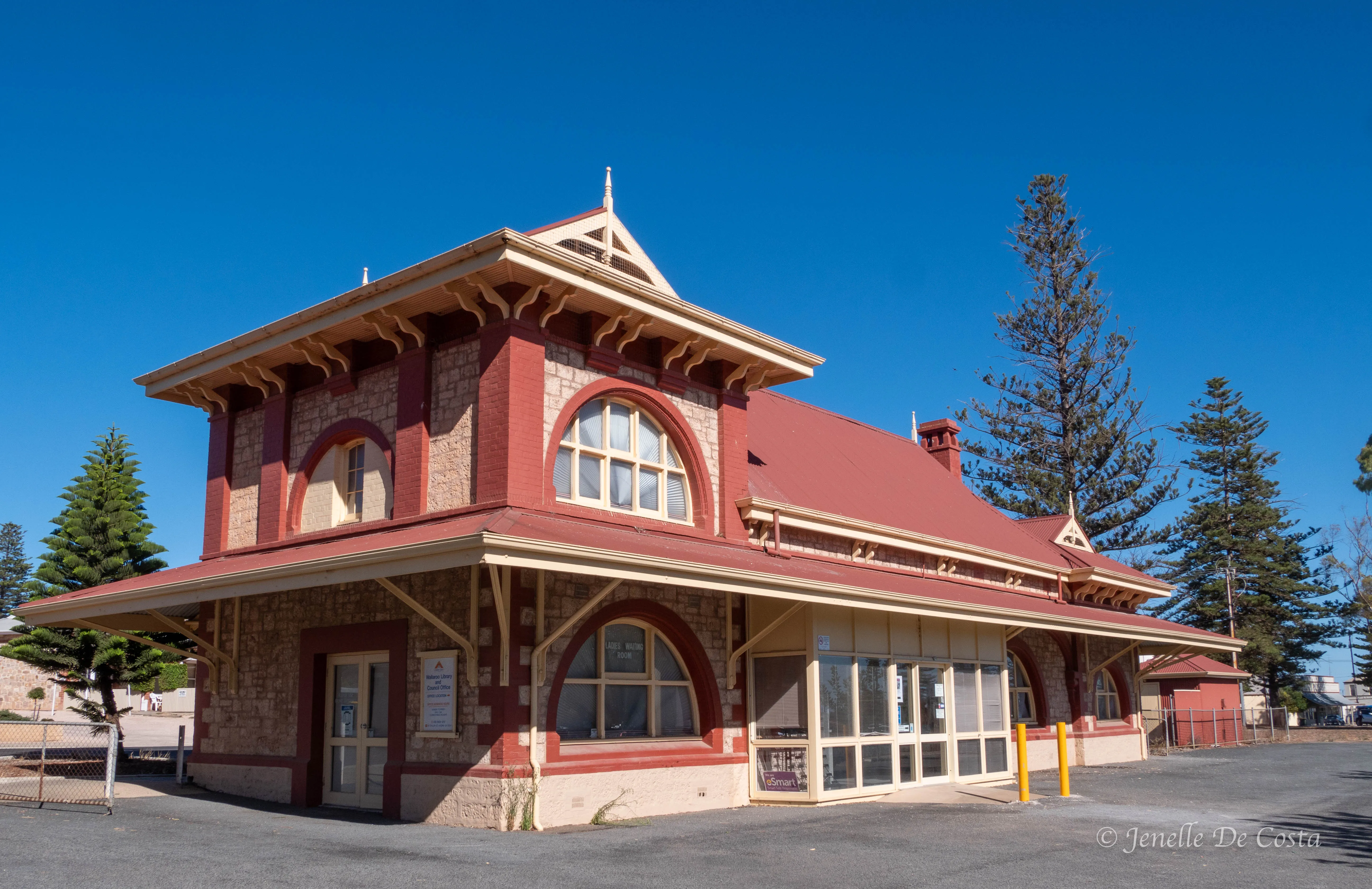
Wallaroo_Train_Station…
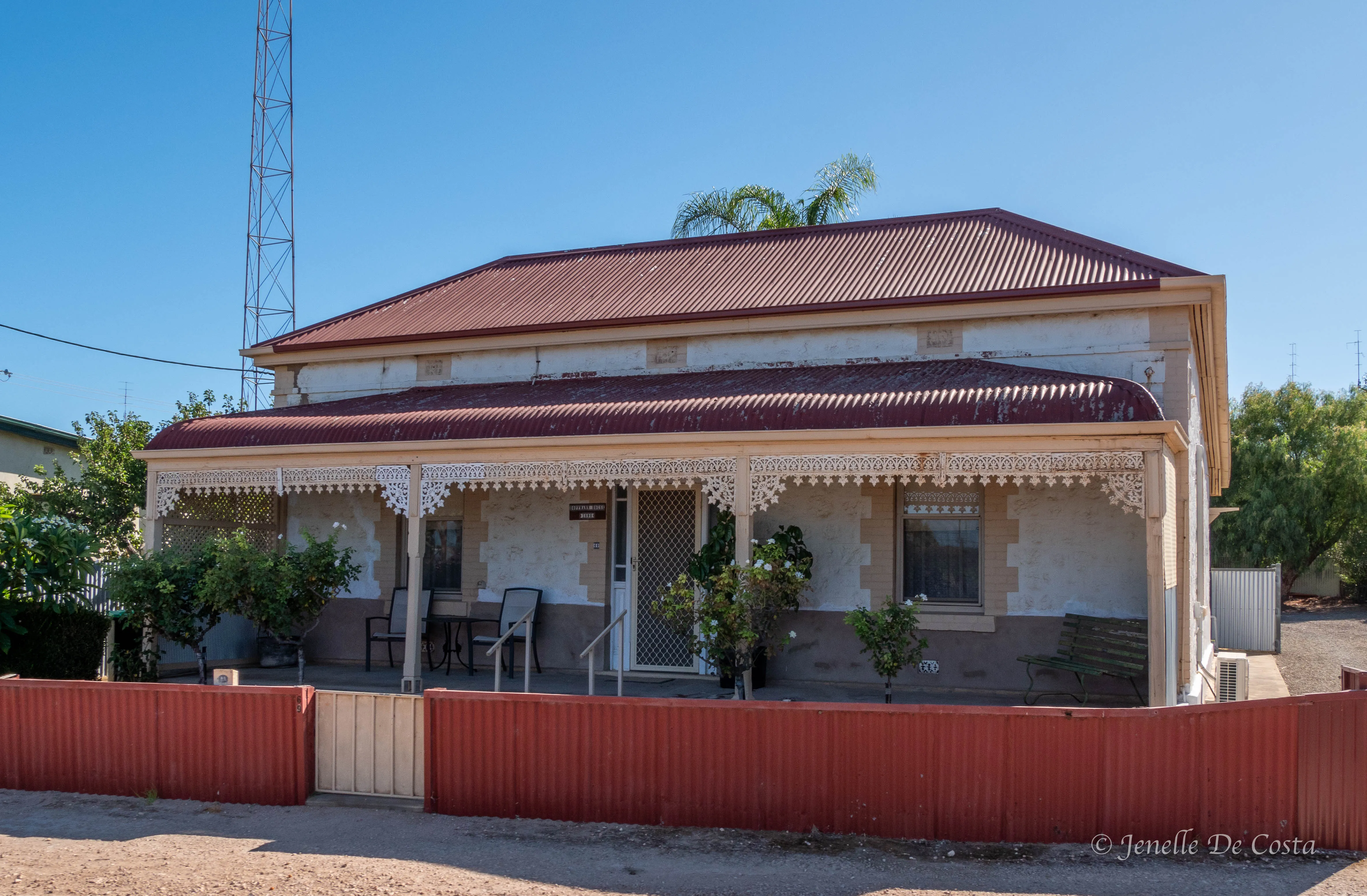
Wallaroo_Original_Home…
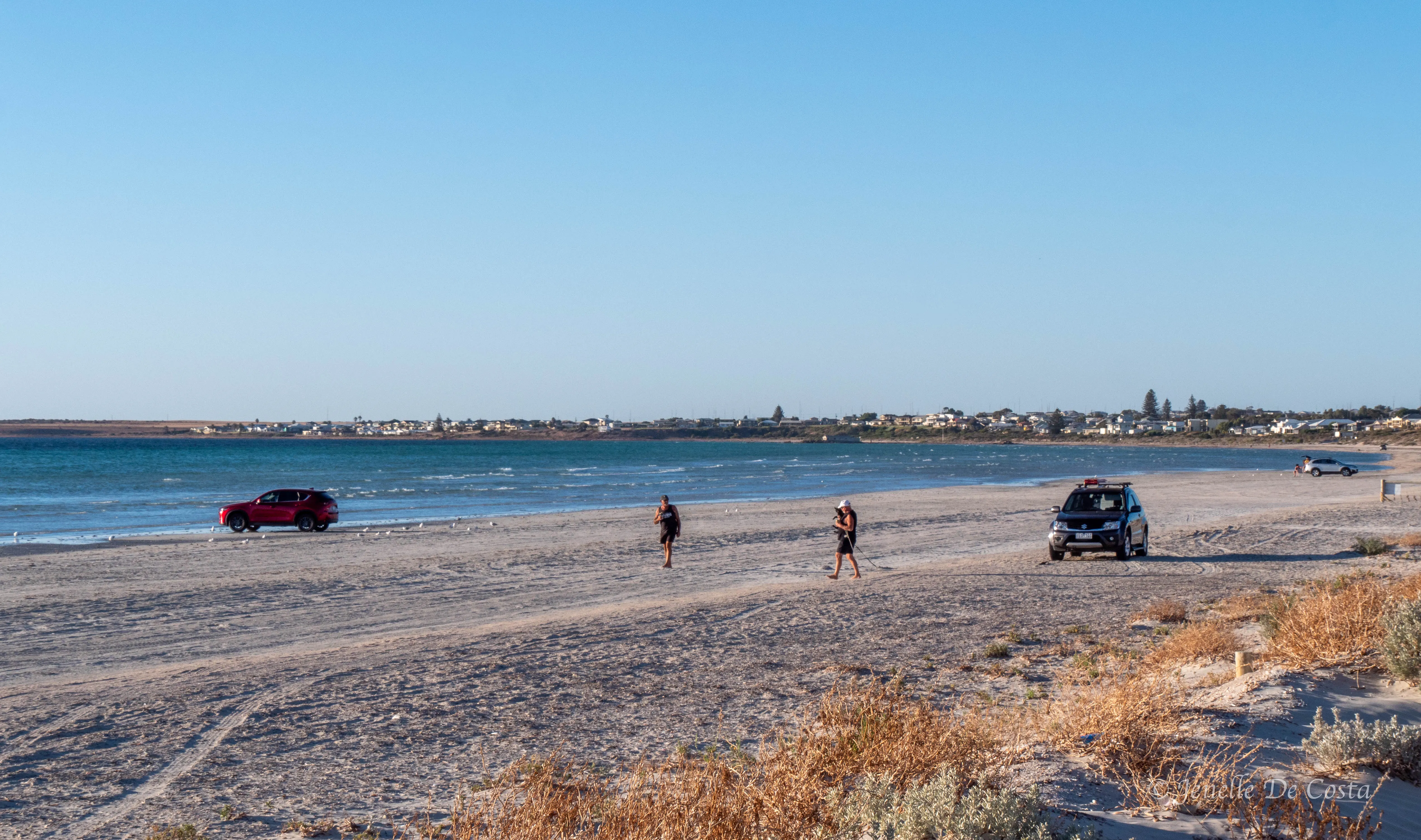
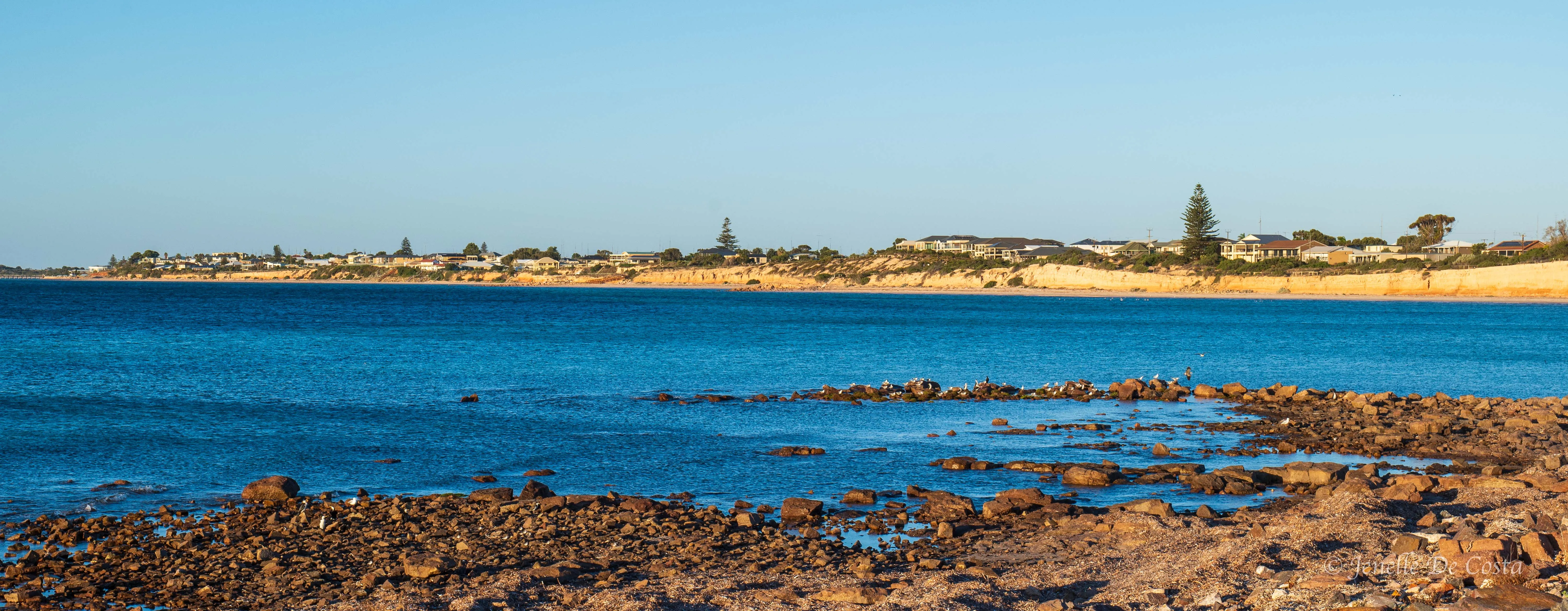
Wallaroo_Beach more a carpark than beach…
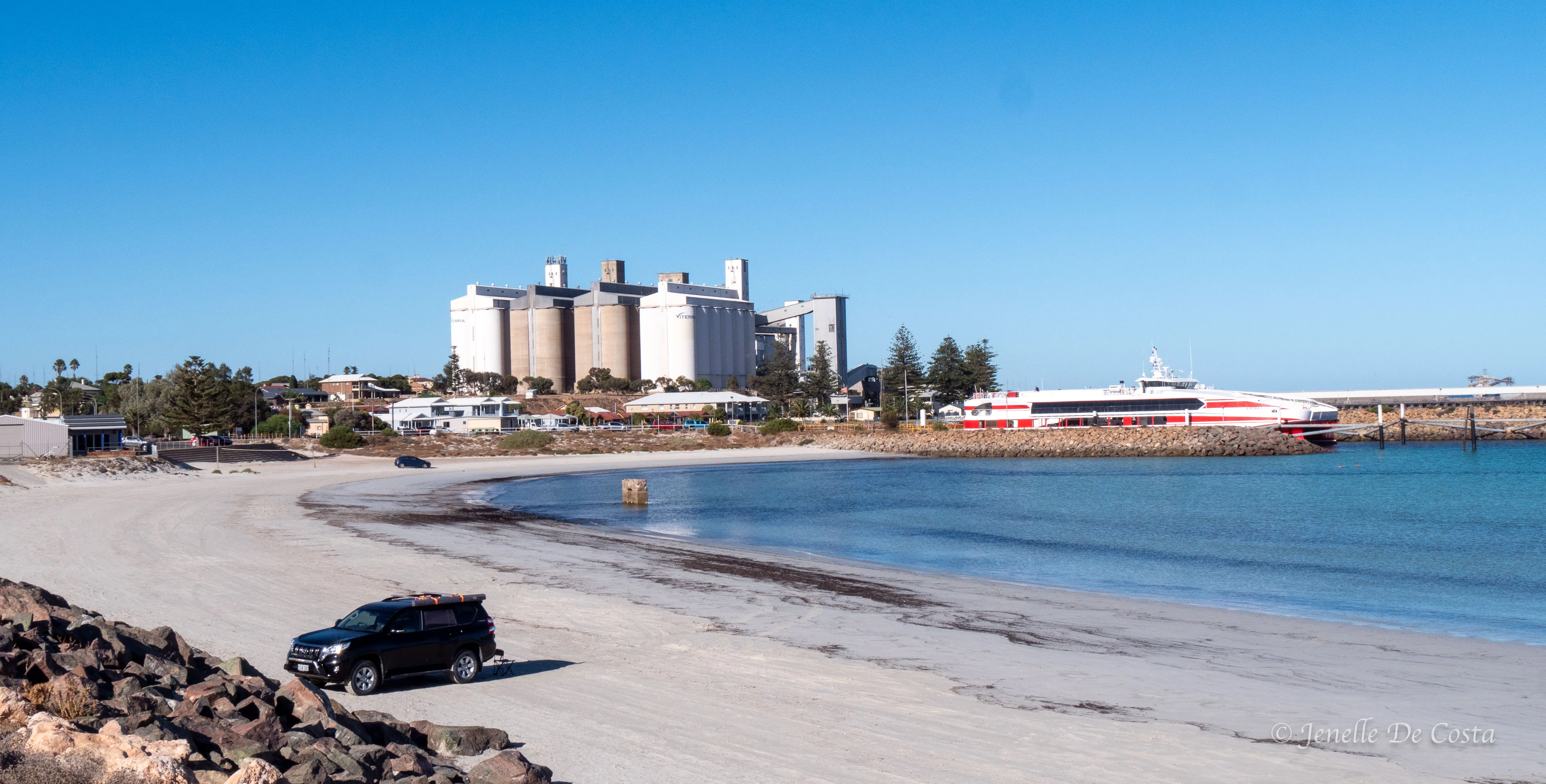
Wallaroo_Harbour with grain & ferry terminal …
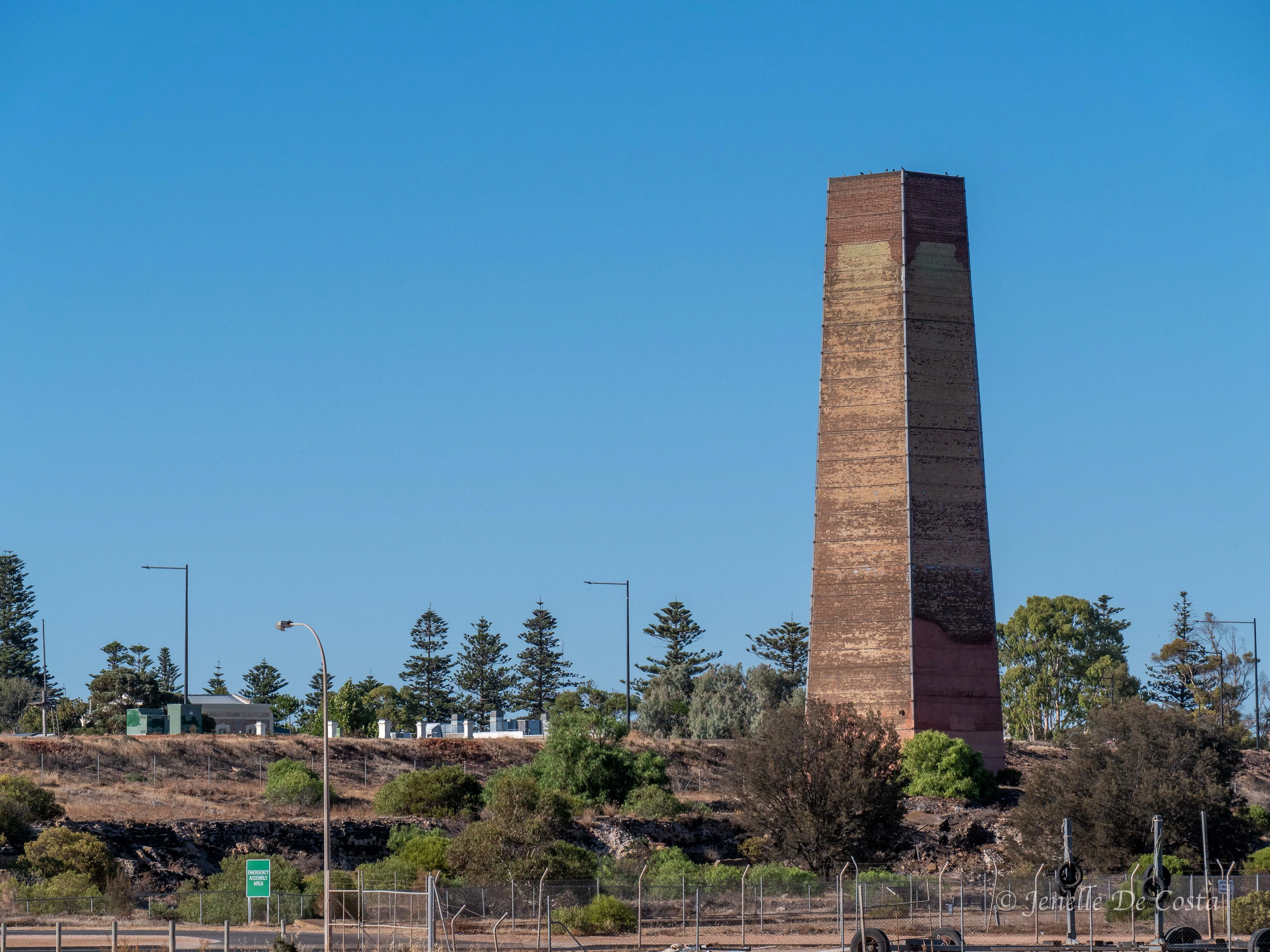
Remnant of Wallaroo’s industrial past…
Leaving Wallaroo the road back inland to Kadina, which is the main commercial hub of the district
Kadina_Water_Tower…
From Kadina it is across the plains to Port Pirie
Just south of Port Pirie the road runs beside huge salt pans…
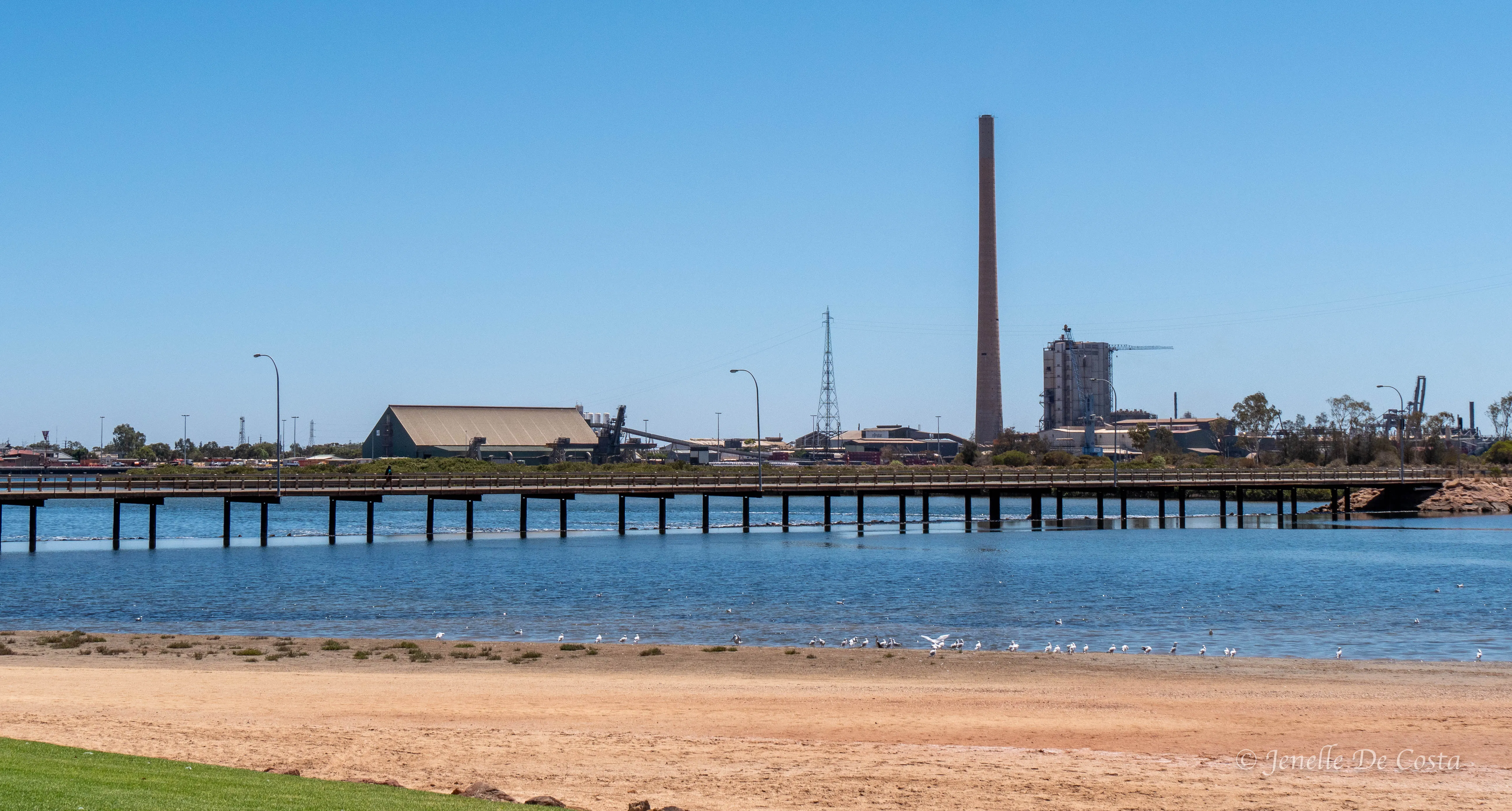
Port_Pirie is an industrial town but still attractive…
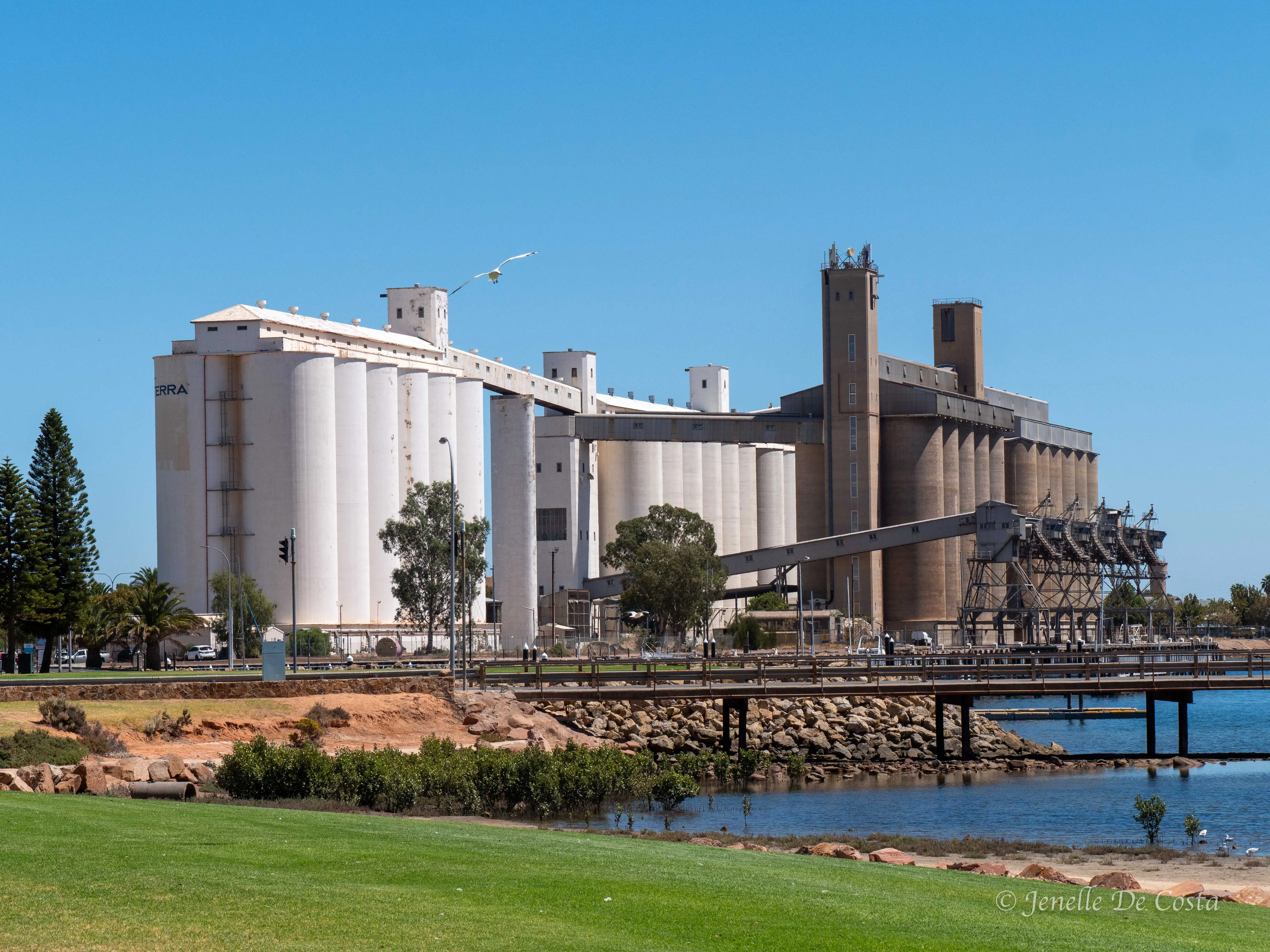
Wherever you are on the coast you are never too far from a giant grain terminal…
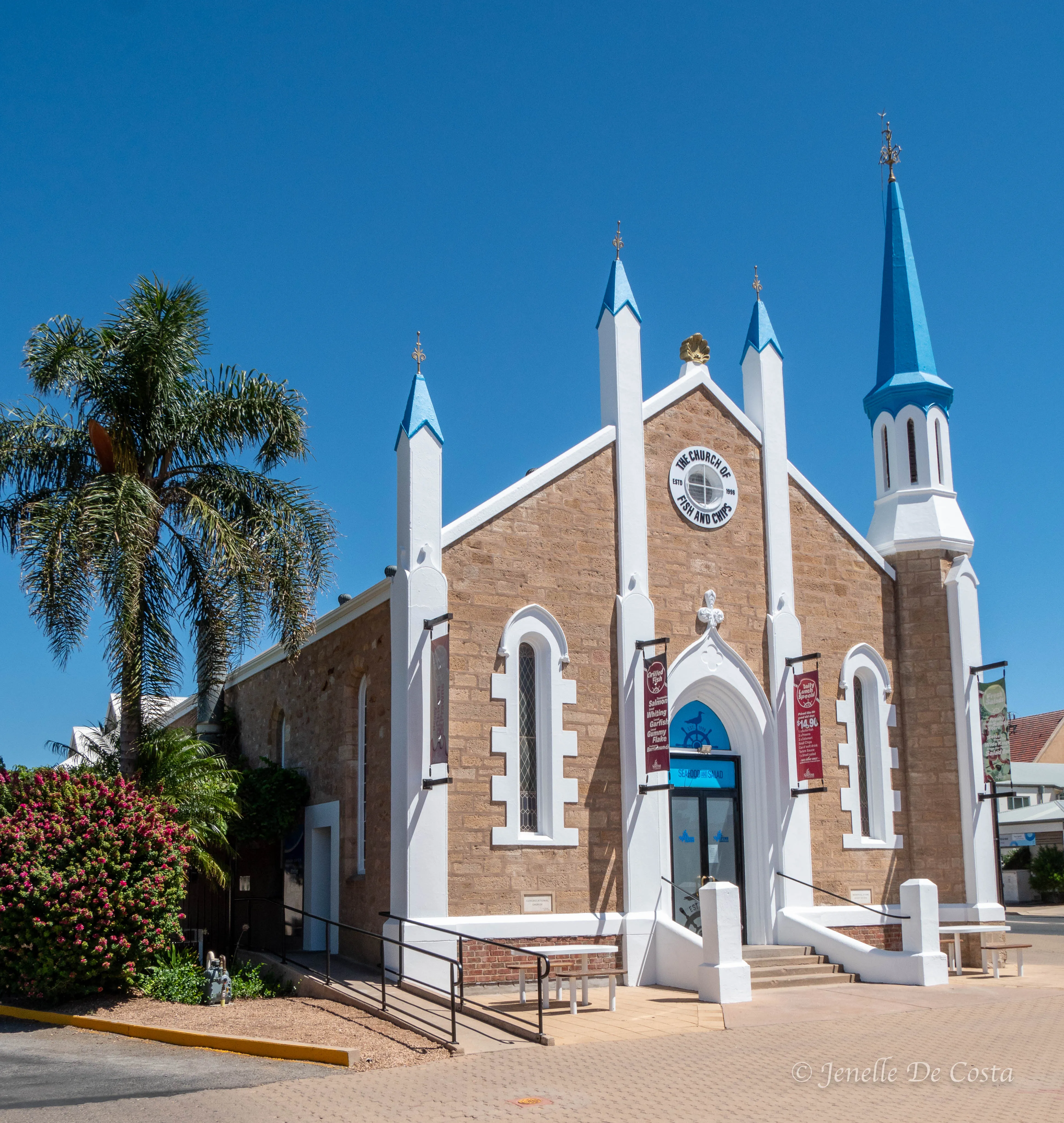
Port_Pirie The Church_Fish n Chips…
Day 30 - 5th March
Port Germein
Day off in Port Germein...
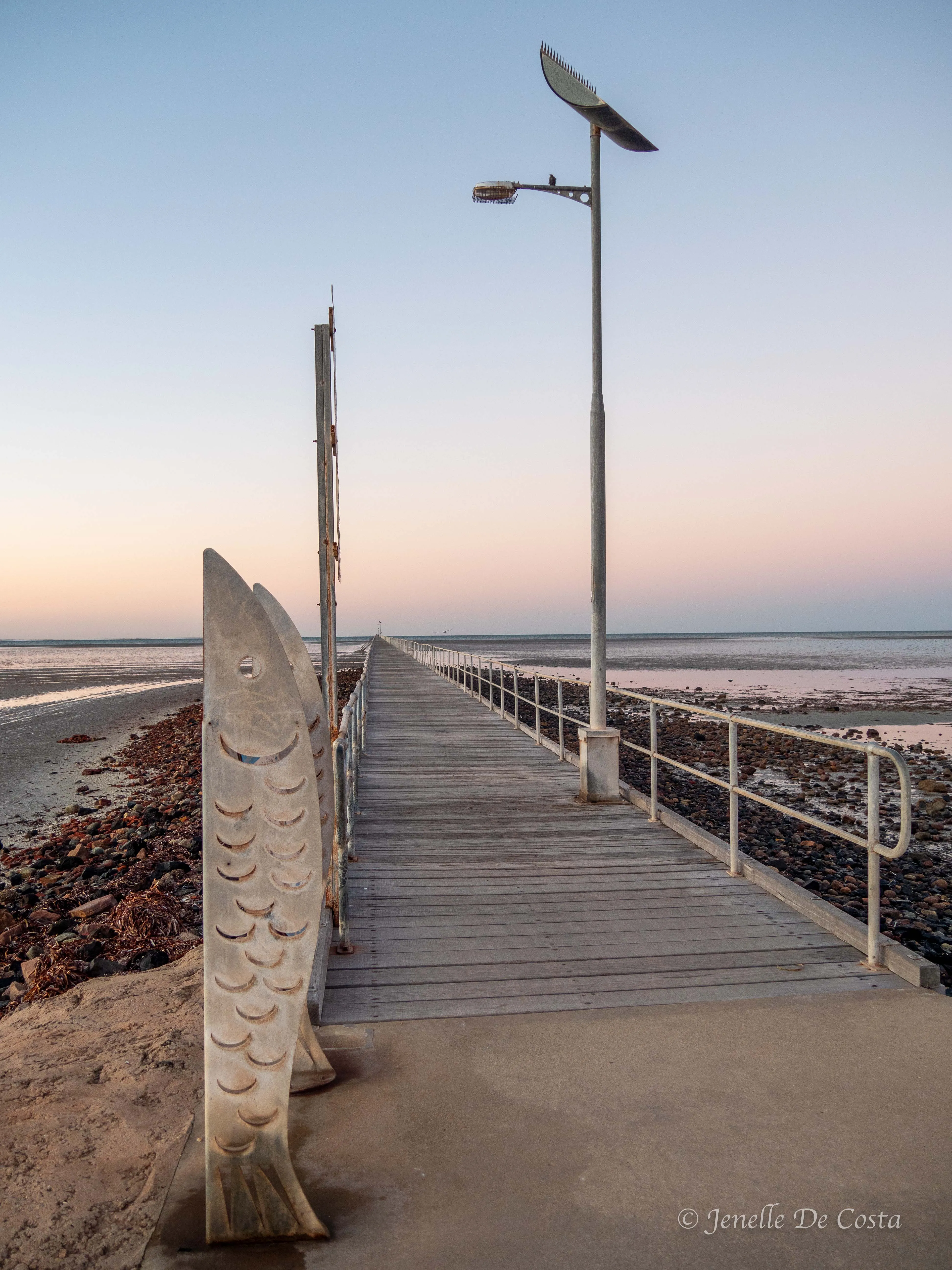
Port Germein’s claim to fame is that it has the longest wooden jetty in the world. 1.5km; that’s a lot wood…
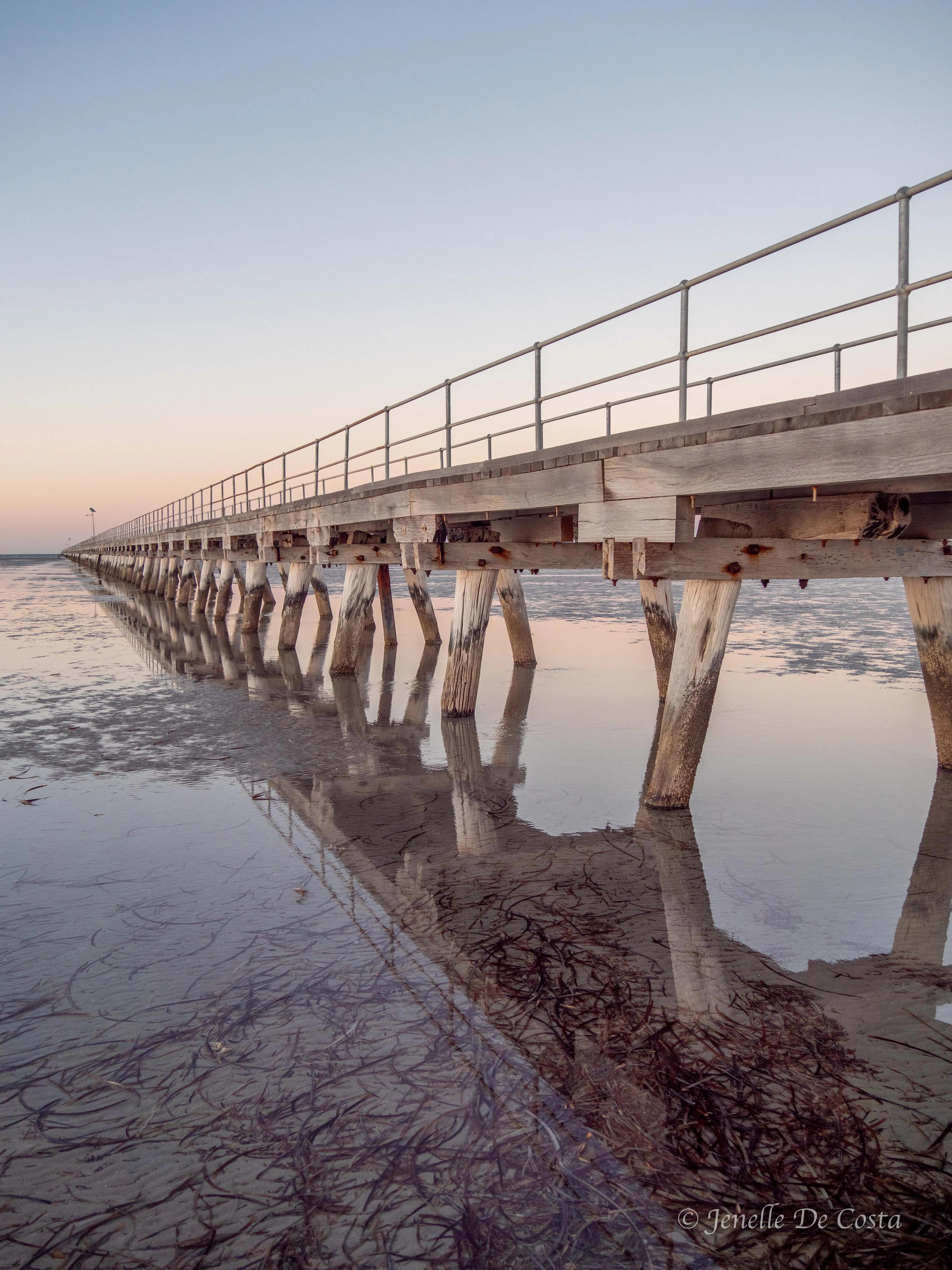
Port_Germein_Pier…
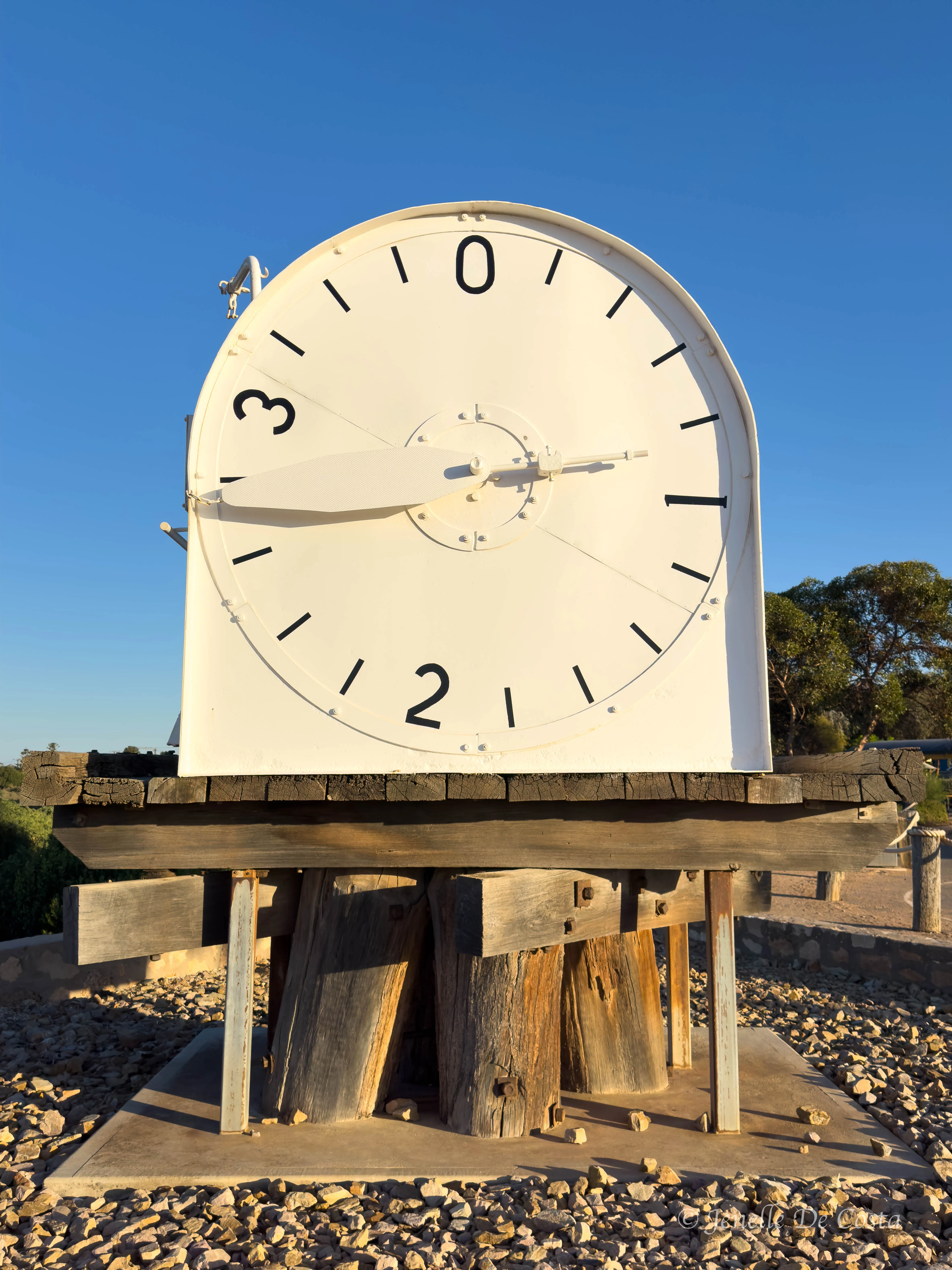
Port_Germein_Old_Tide_Guage_ that used to sit at the end of the pier to guide mariners on the depth of water…
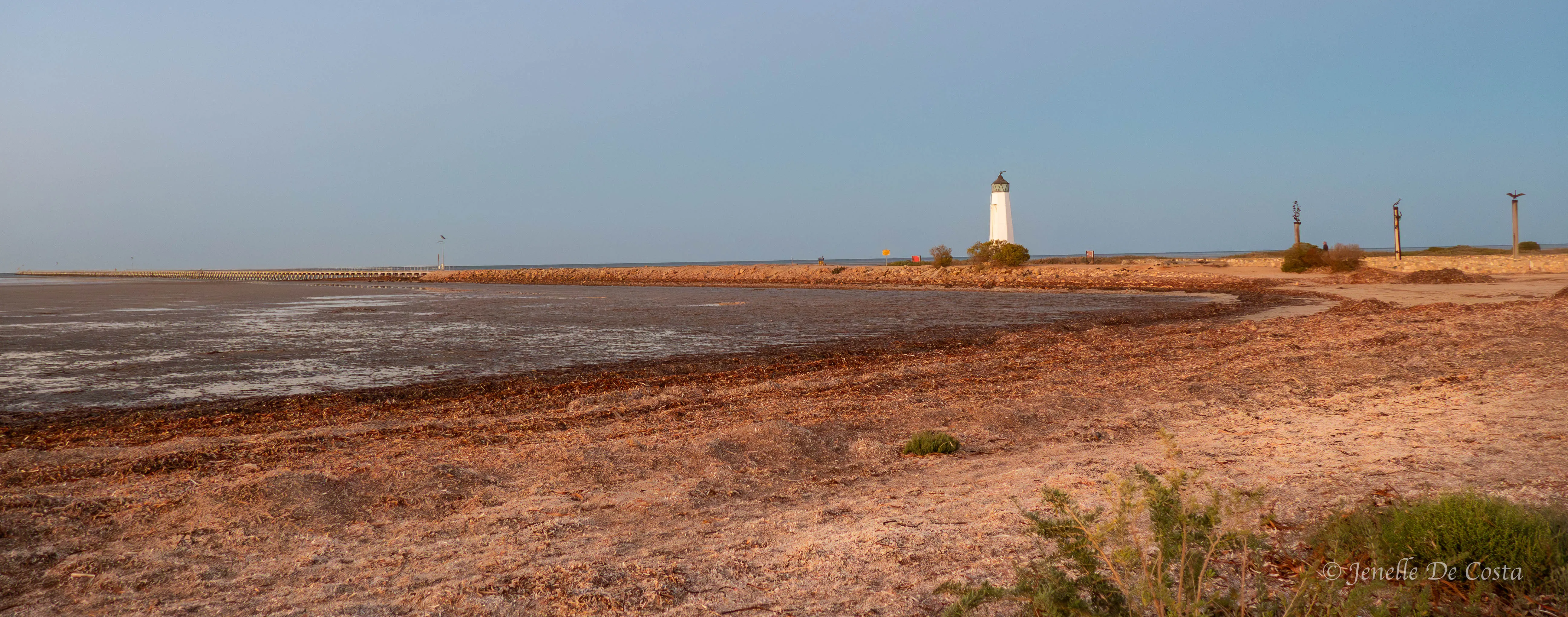
Port_Germein_Lighthouse…
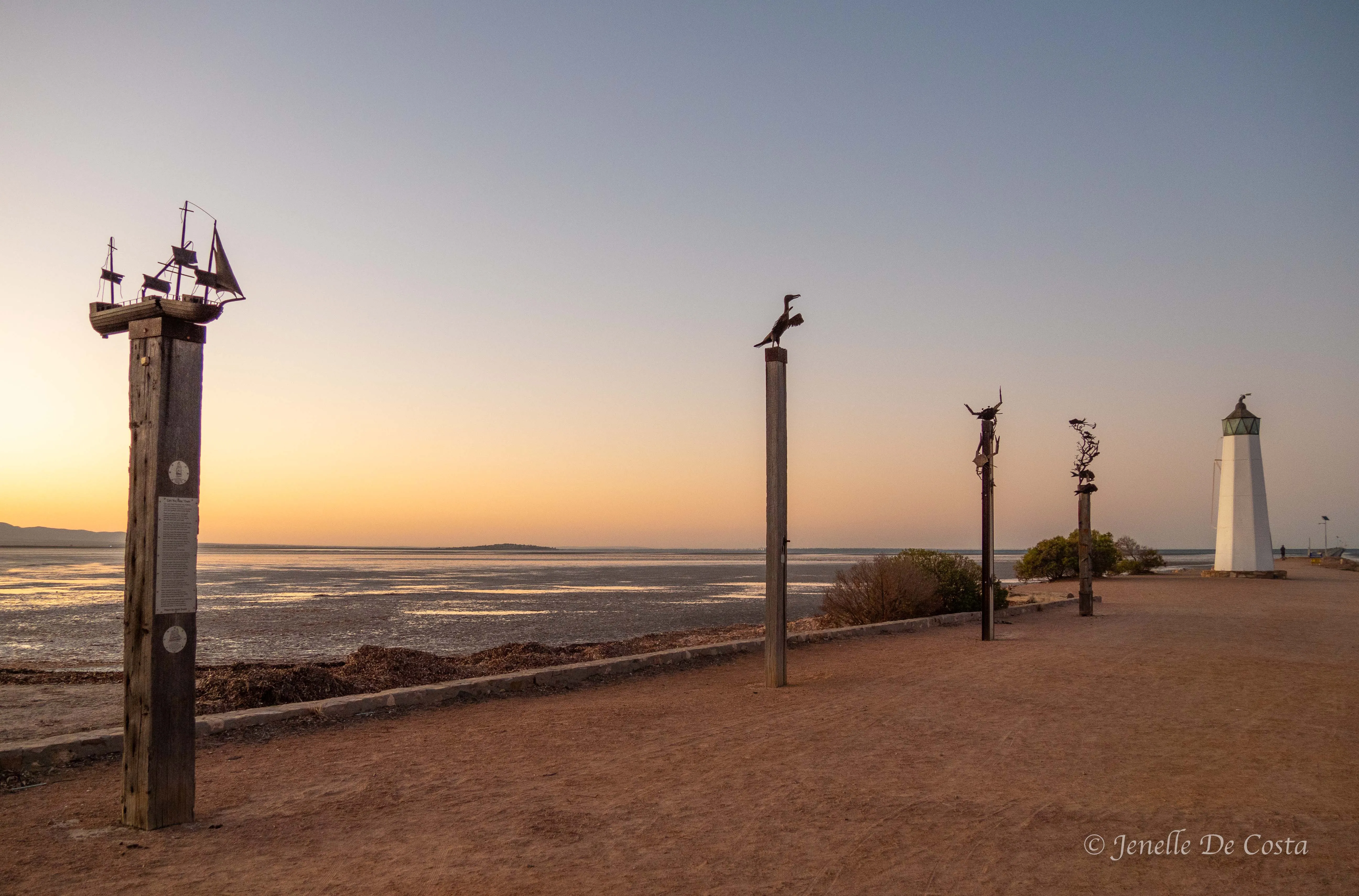
Port_Germein_Pier_Entrance…
Port_Germein_Street Art…
Port_Germein_Street Art…
From the images above you'd think Port Germein was a fairly cute town but it's a bit tired unfortunately. The pier is a good bird watching structure though.
Heron…
Oyster Catcher…
Day 31 - 6th March
Port Germein - Port Germein Gorge - Melrose - Quorn - Port Augusta
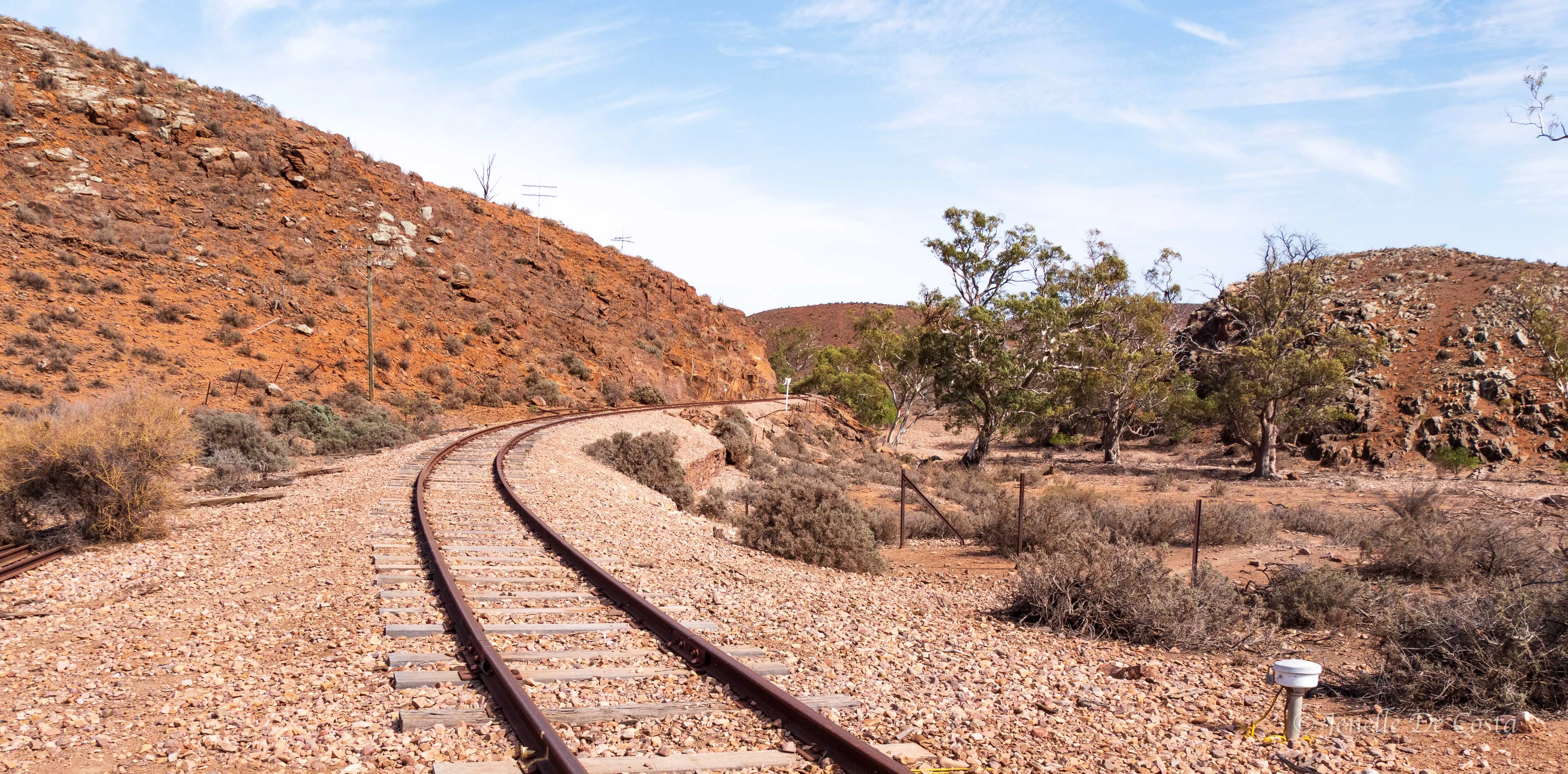
Port Germein to Port Augusta via the senic route. The road winds up though the Port Germein Gorge which is part of the Southern Flinders Ranges...
Port_Germein_Gorge…
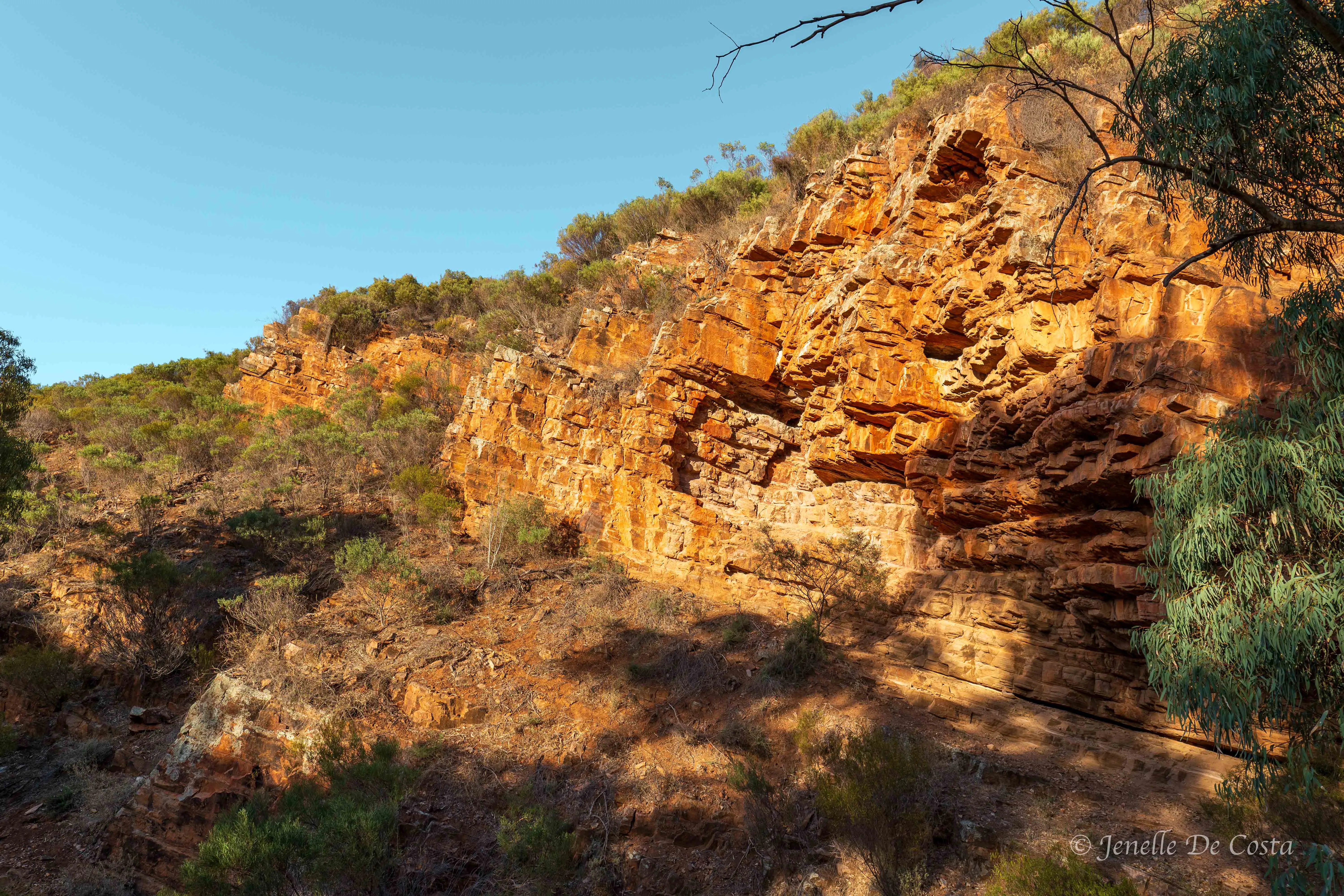
Port_Germein_Gorge…
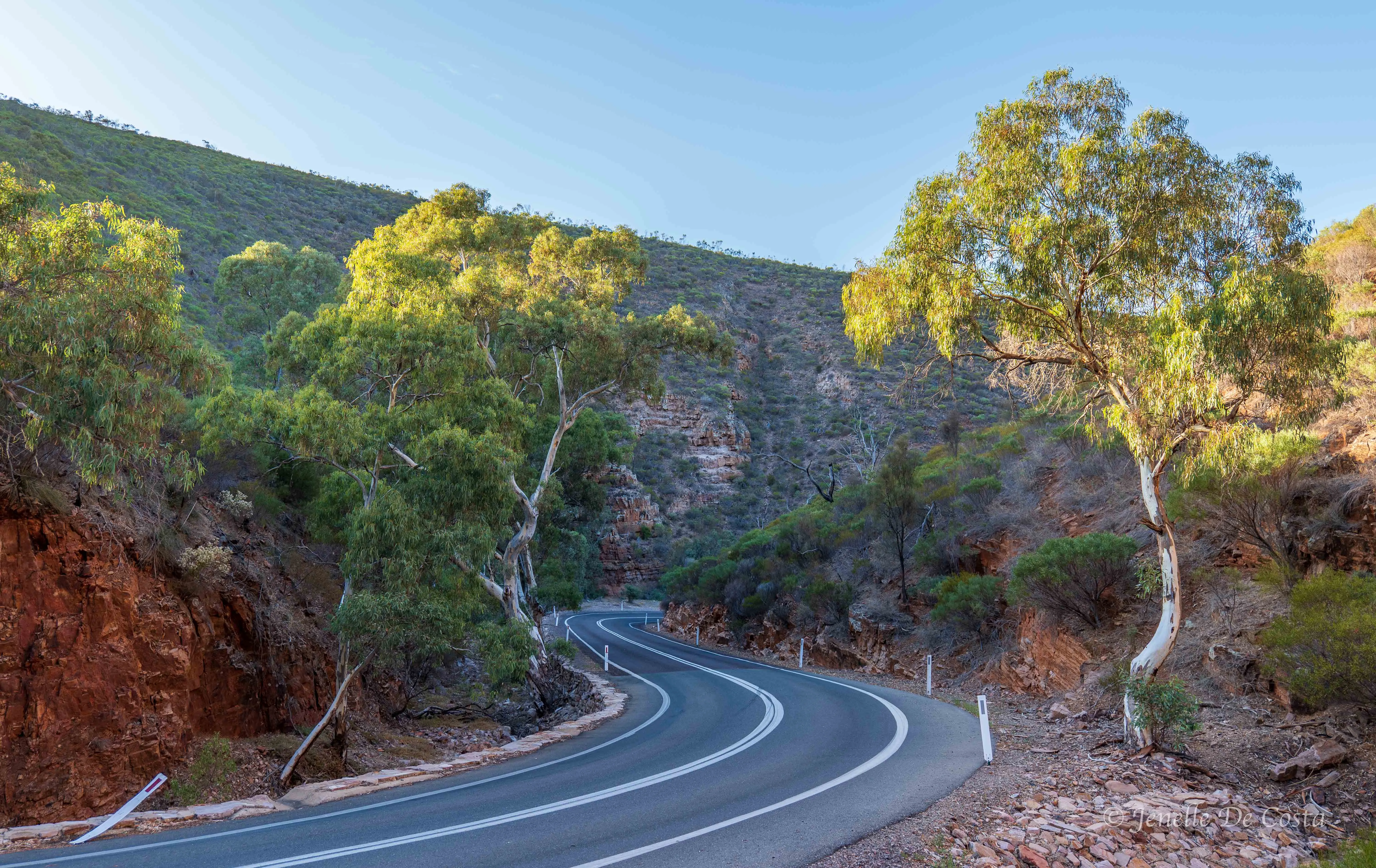
Port_Germein_Gorge…
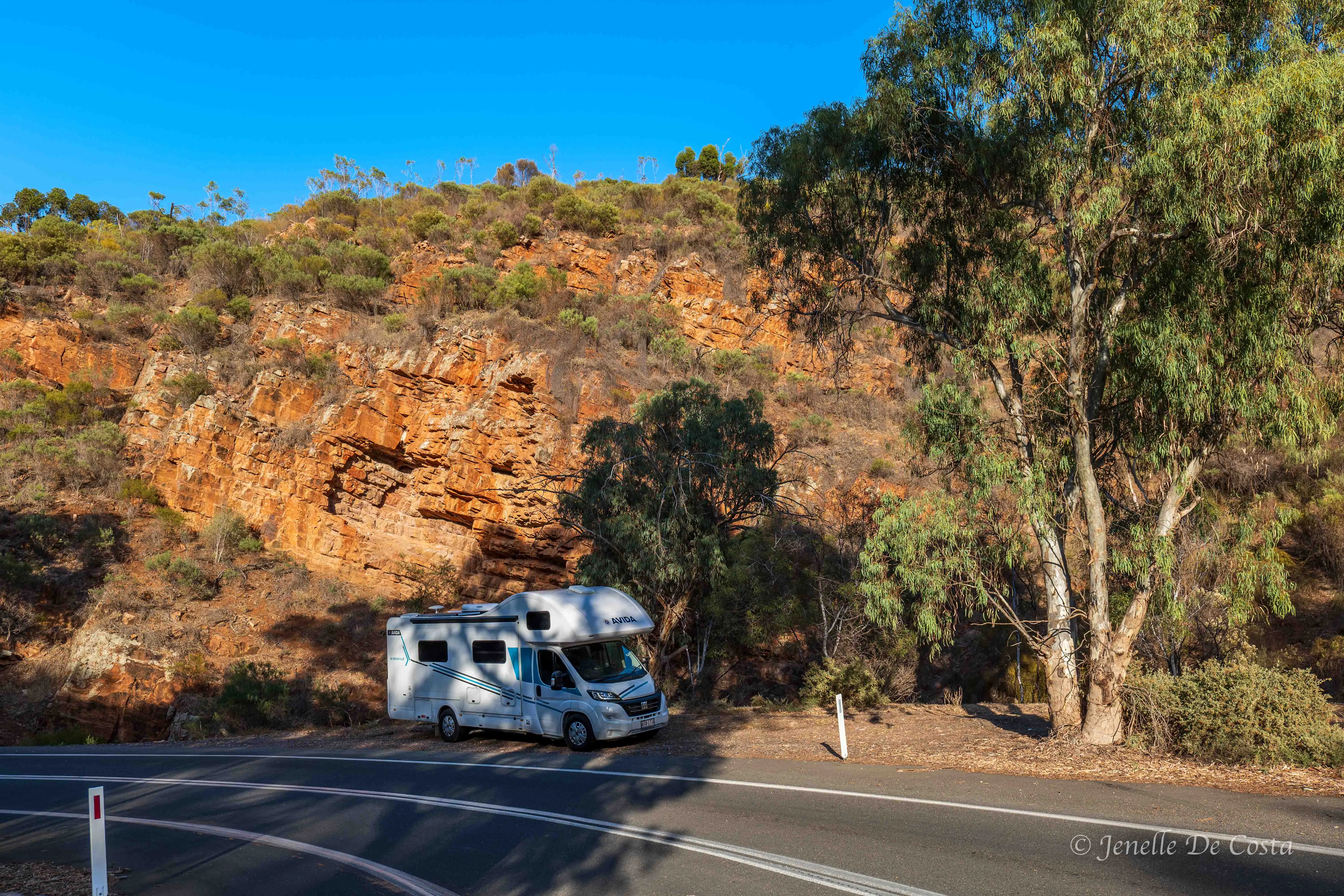
Port_Germein_Gorge…
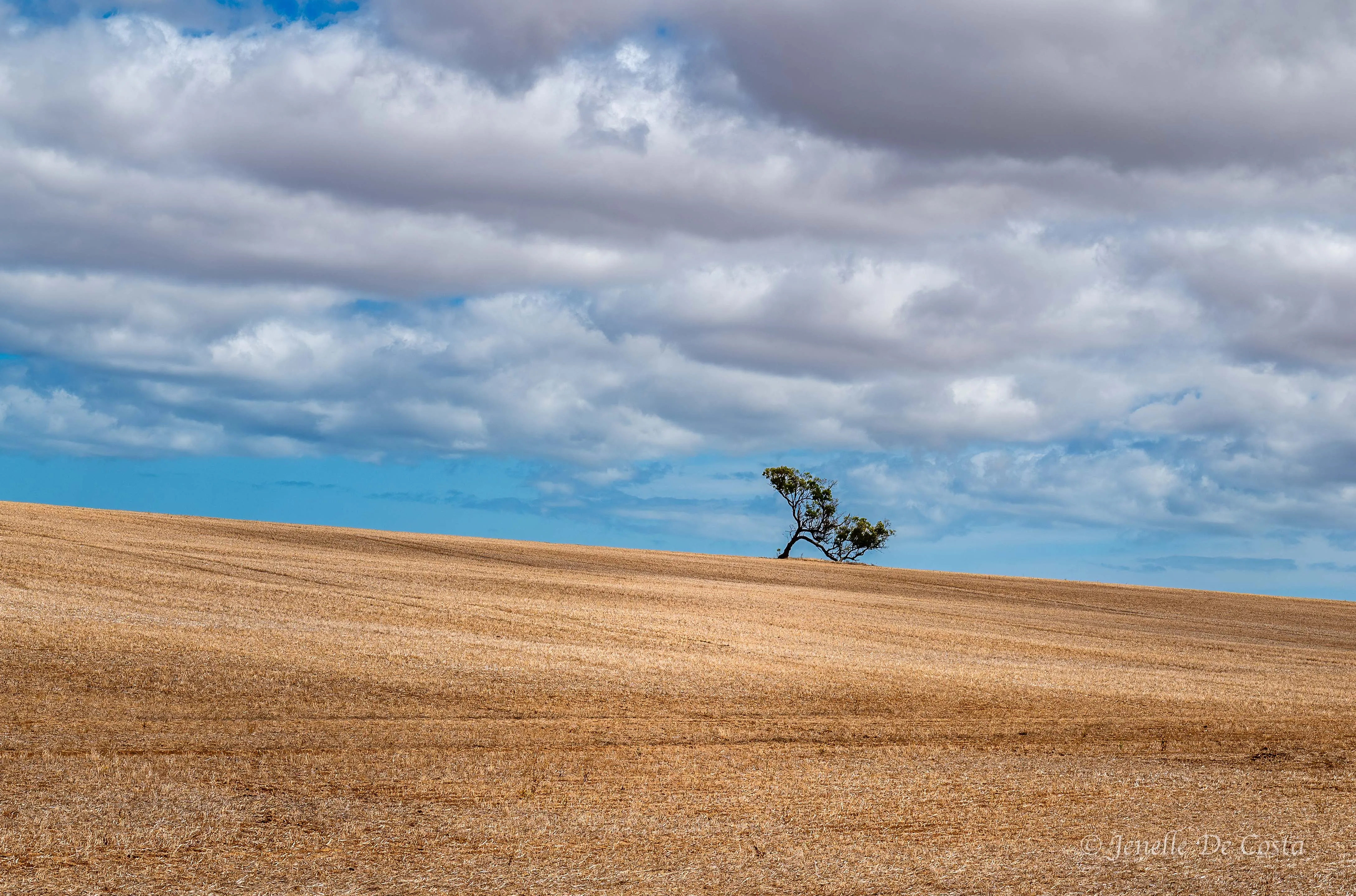
Through the Gorge and over the range onto a plateau of wheatfields
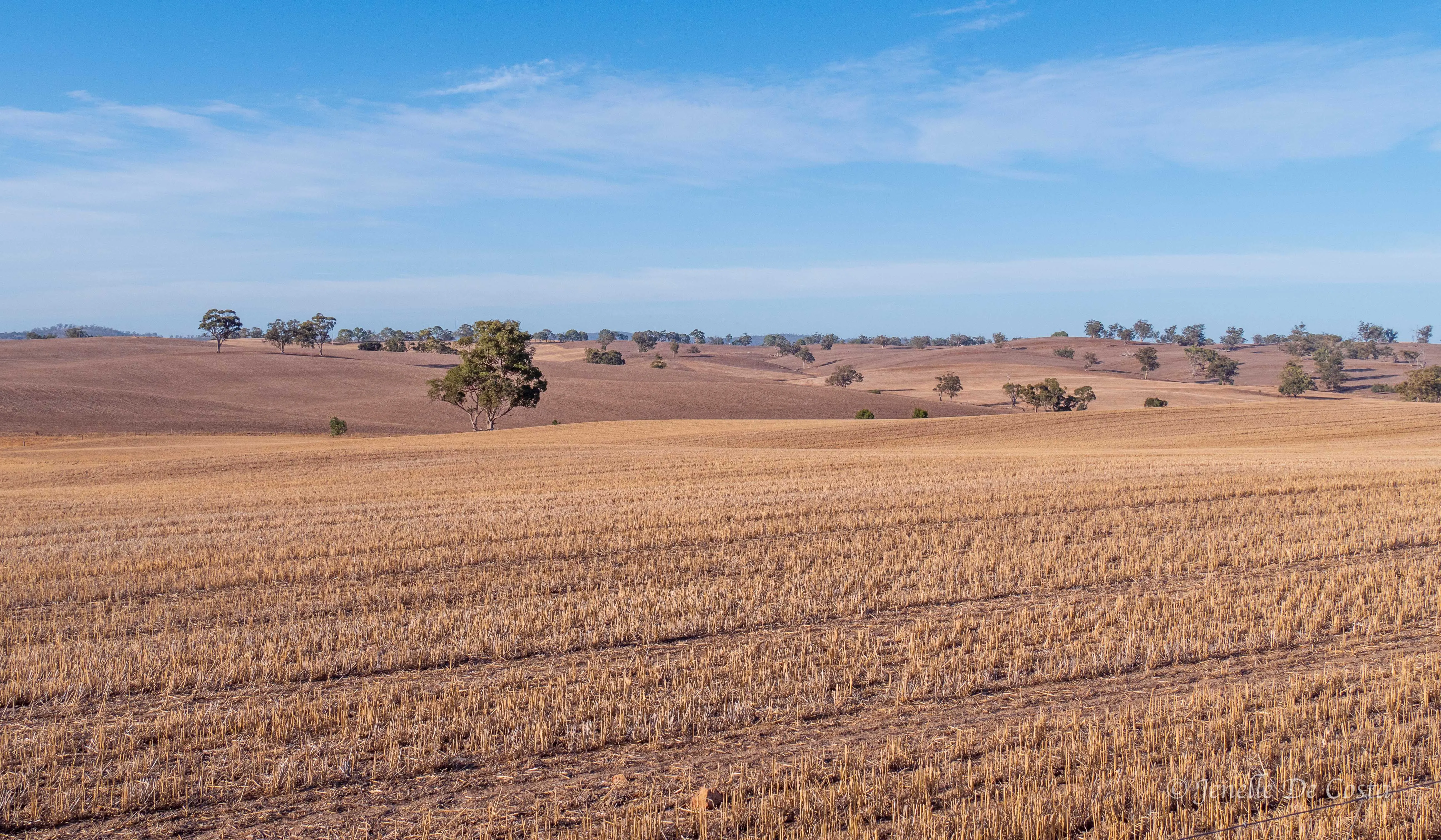
Farmland over rolling hills…
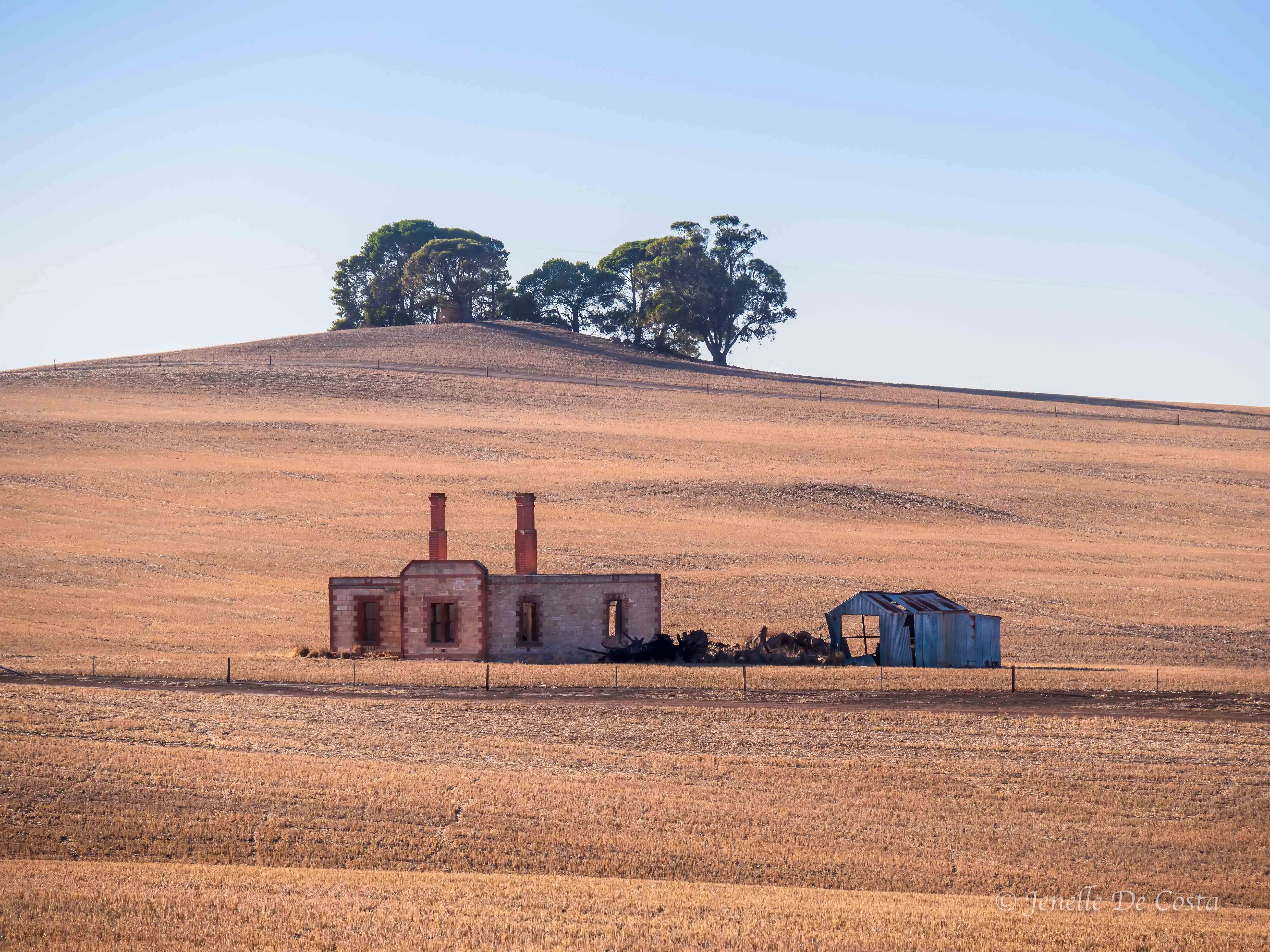
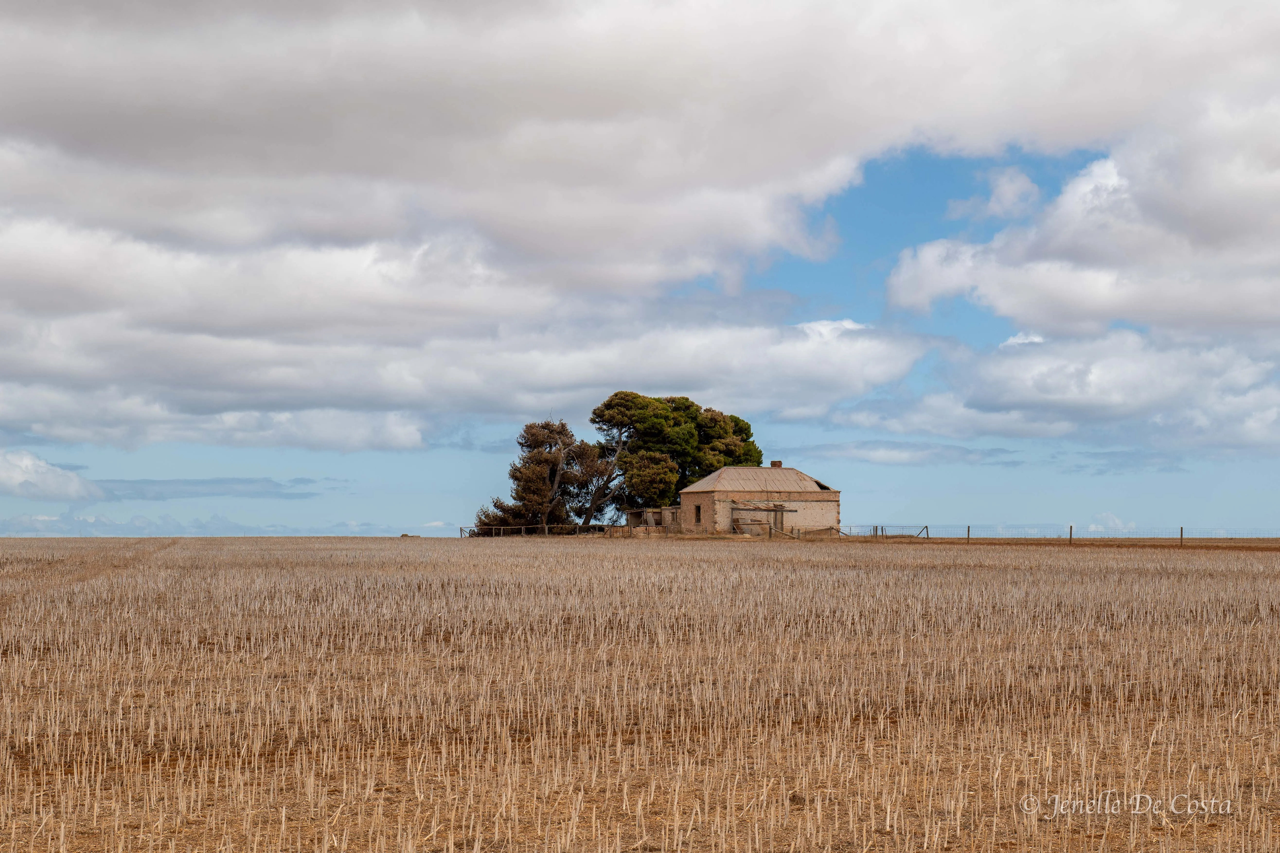
Another ruined stone building sits in the landscape…
We stop at Melrose for breakfast and discover a very cute and progressive town. It's revival is being lead by Trailbike tourism. The coucill has constructed 100s of kilometres of bike trails though the mountains and along old rail corridors
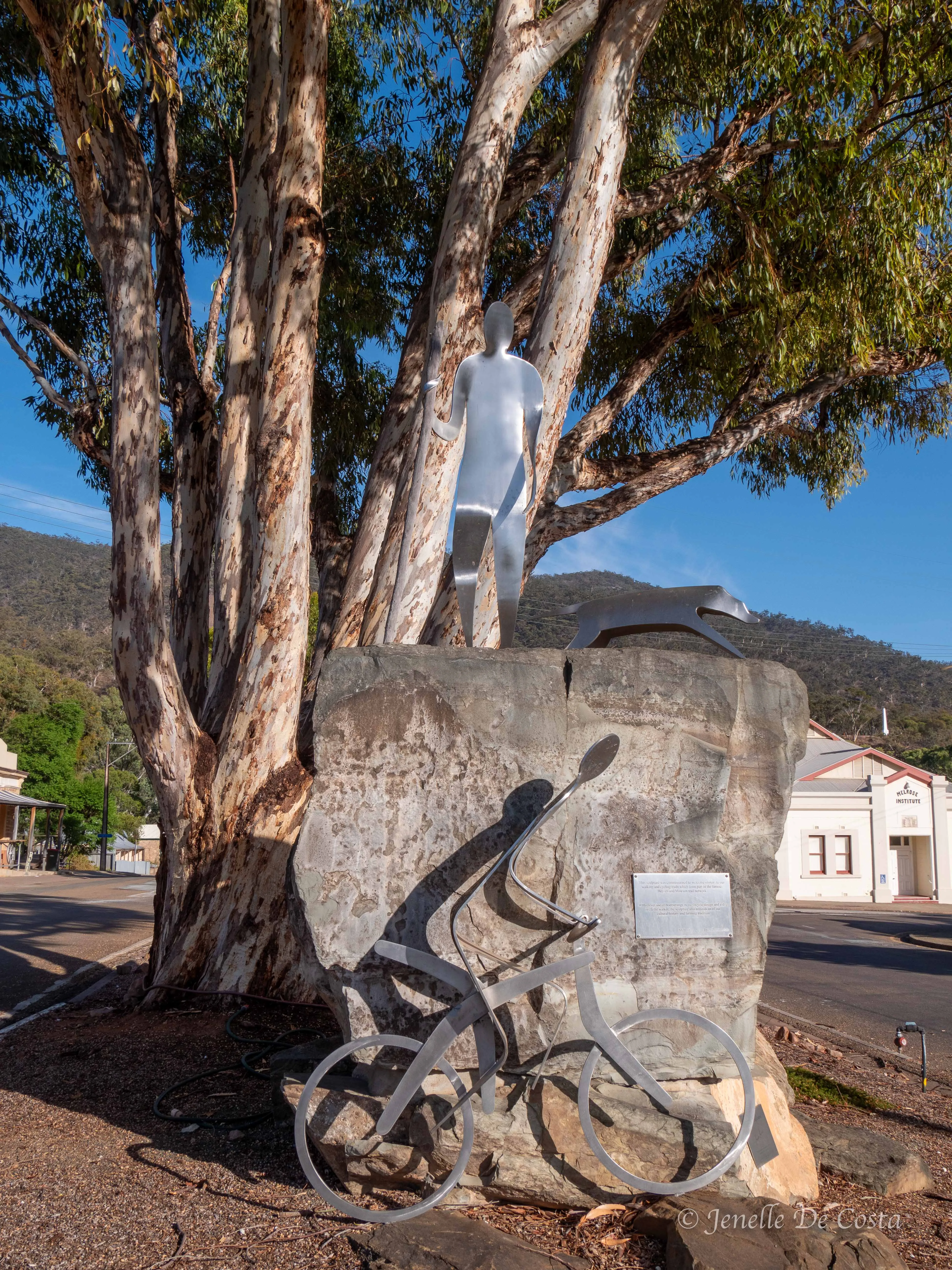
Melrose_Trailbike Street_Art…
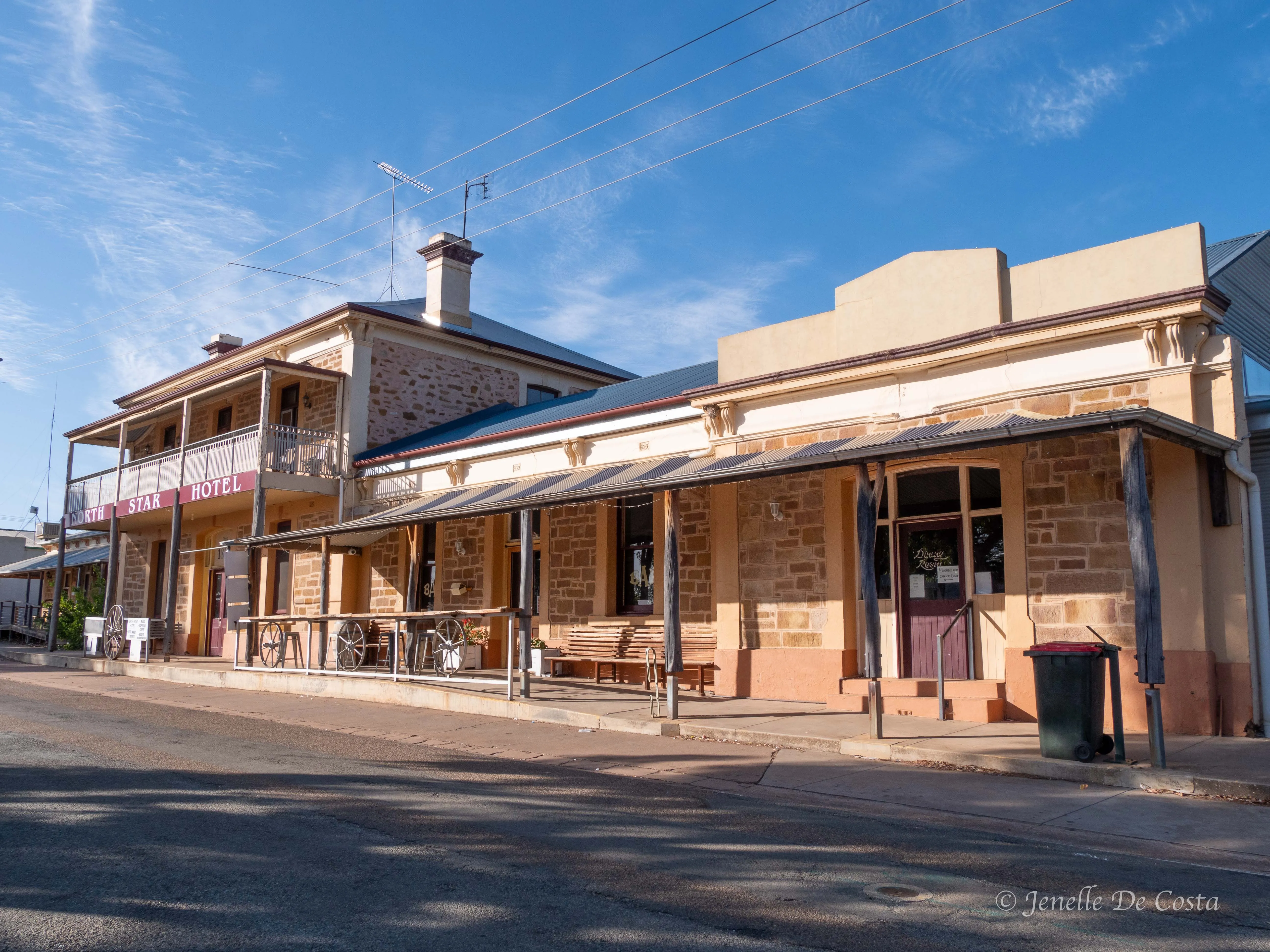
Melrose_Pub…
From Melrose it is onto the Village of Quorn. A small prosperous, country town.
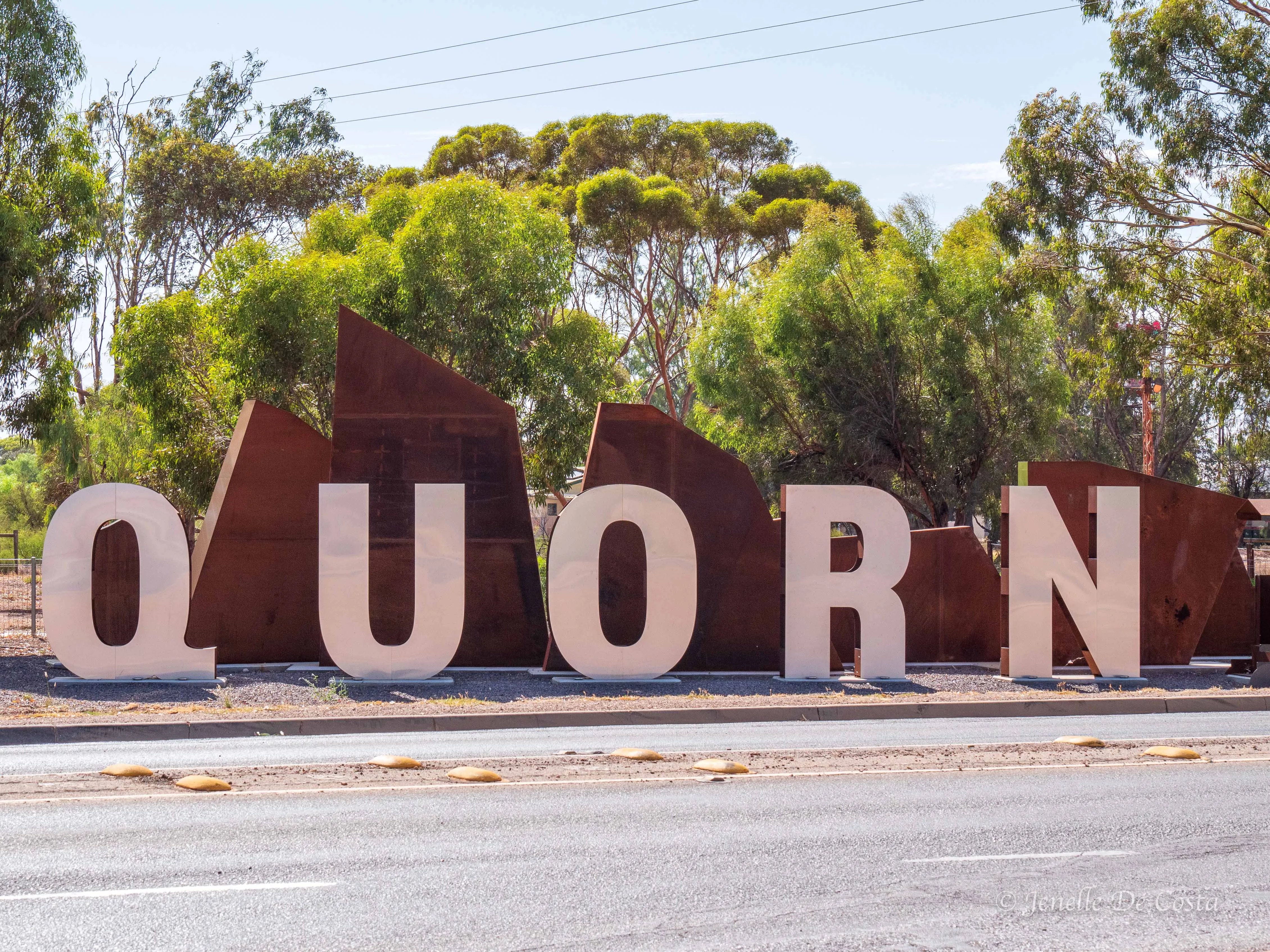
Quorn_Sign…
From Quorn is back down the Southern Flinders Ranges to Port Augusta
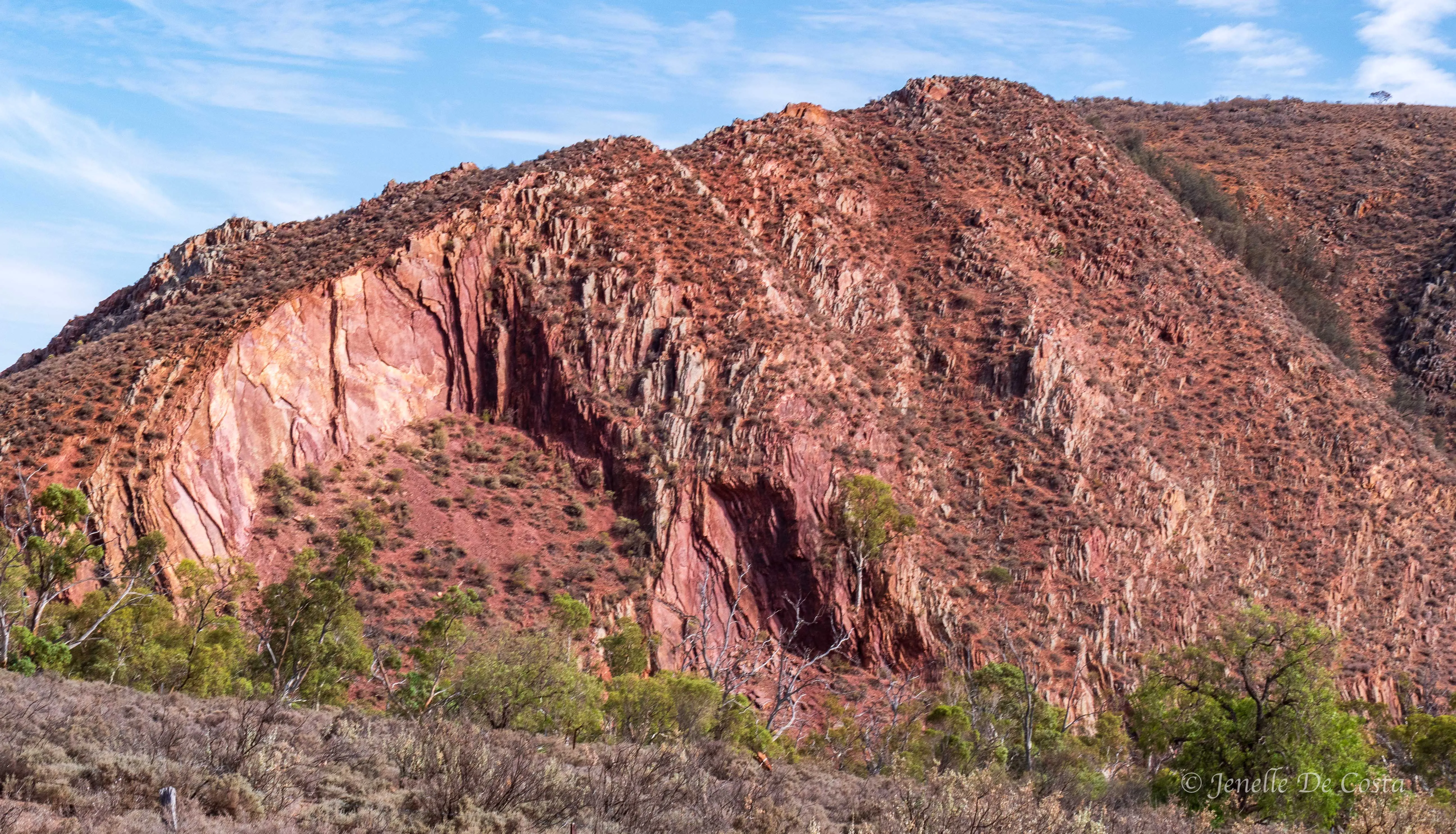
Southern_Flinders_Ranges…
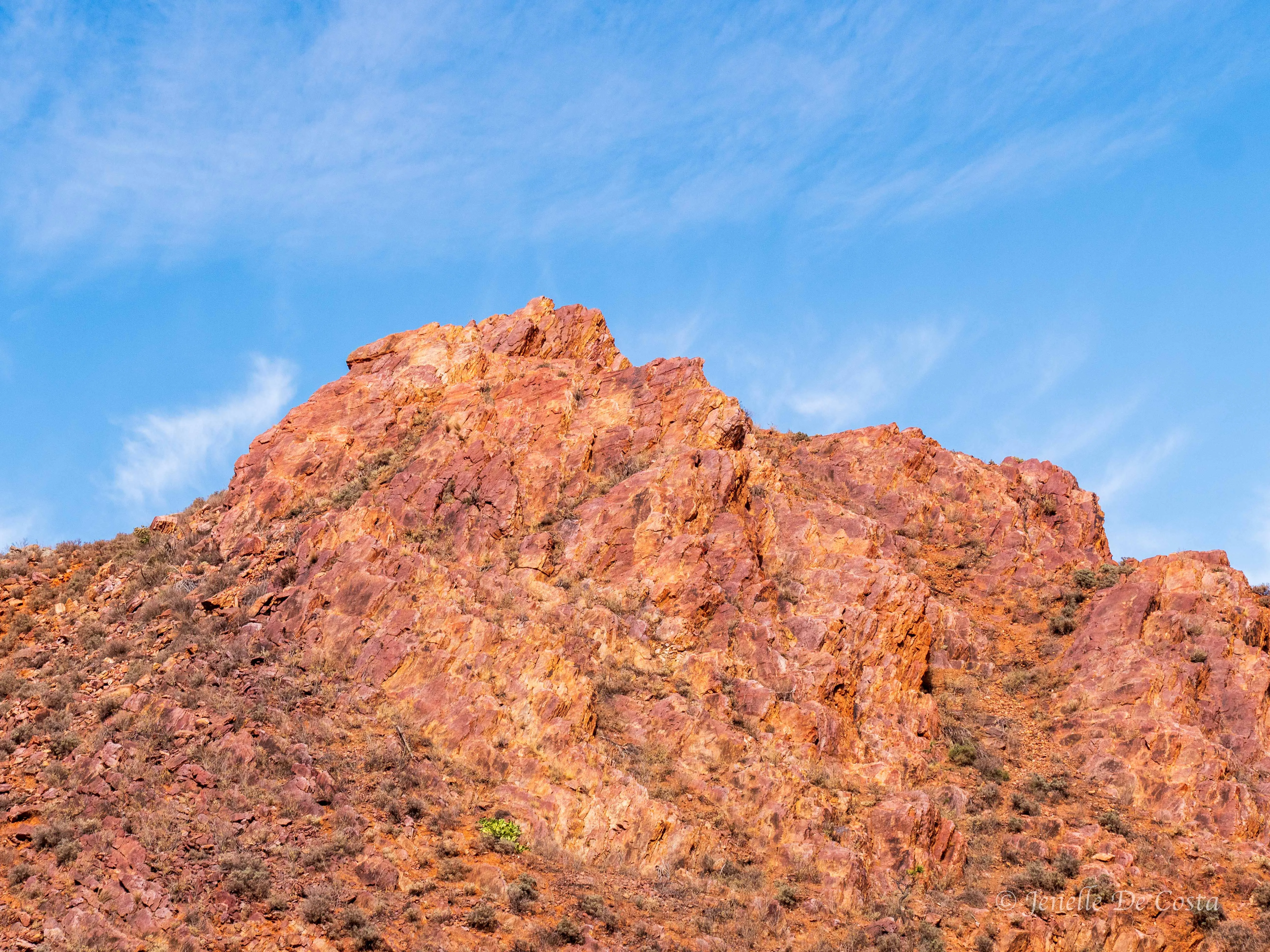
Southern_Flinders_Ranges…
Southern_Flinders_Ranges…
We spent some time in Port Augusta CBD and were underwhelmed.
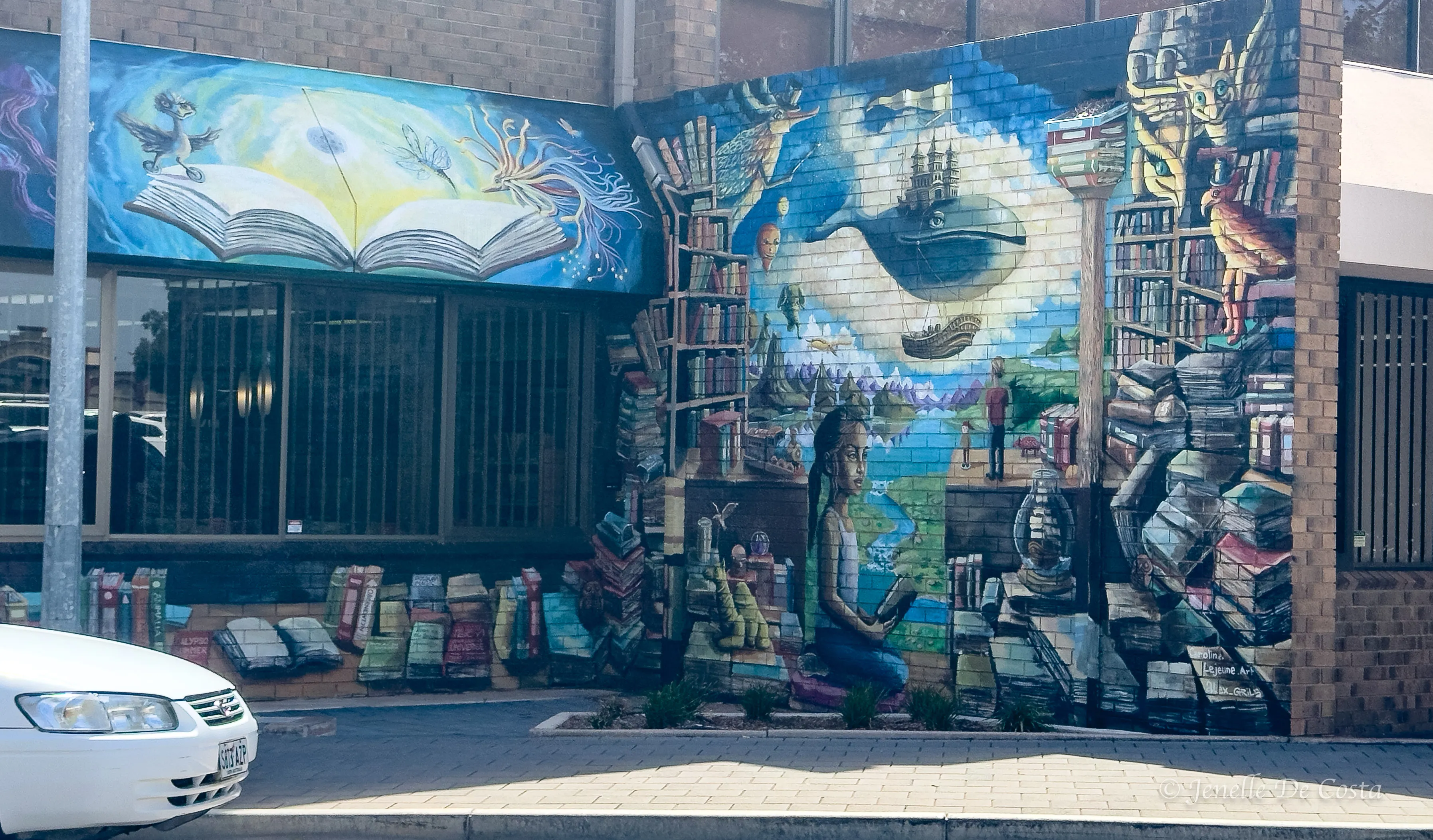
Port_Augusta_Library_Street Art…
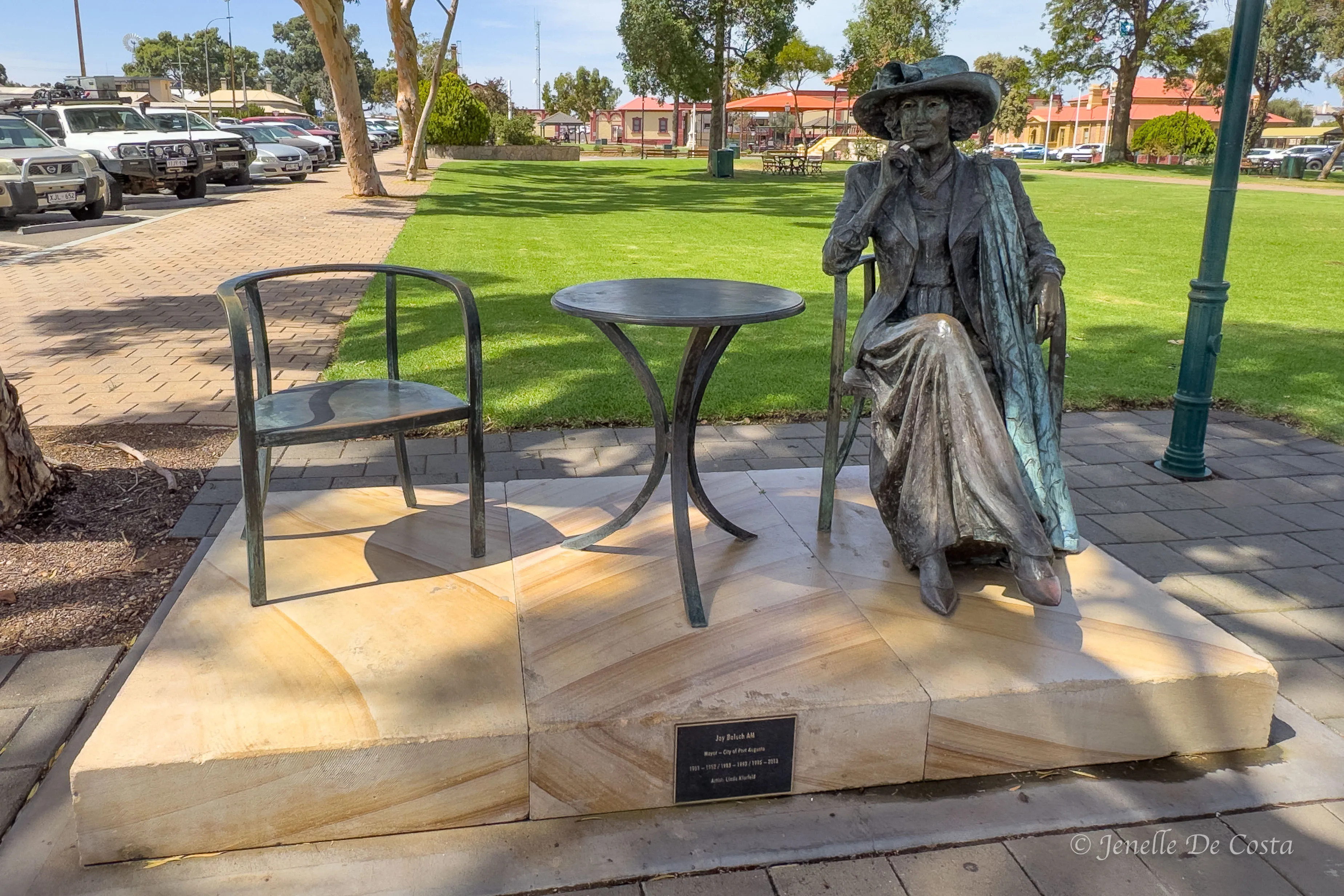
Port_Augusta long serving Mayor Joy Baluch Statue…
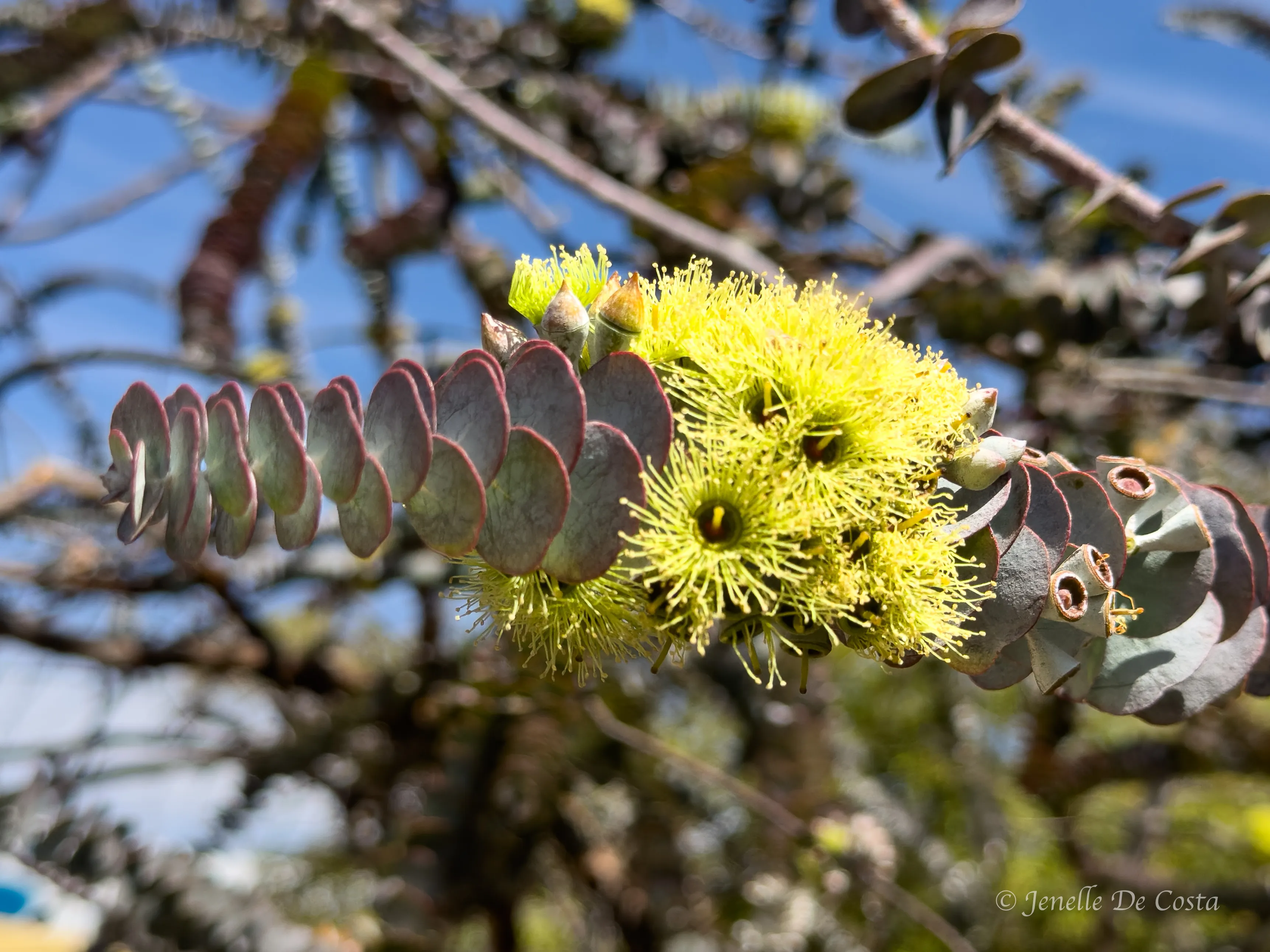
Beautiful native tree flower…


